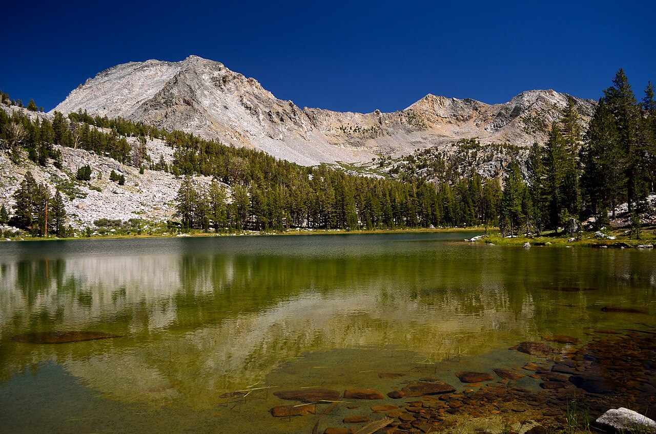
Granite Pass North
 Photo: Tom Hilton, CC BY 2.0 (via Wikimedia Commons)
- 5.8 mi
- round trip
- 1,864 ft
- climb
- 10,667 ft
- high point
- Out and back
- route
Is Granite Pass North open right now?
No closures listed
The National Park Service lists no closures for Kings Canyon National Park.
As of · Source: NPS · Kings Canyon National Park. Agencies don't list every closure — check before you go.
Granite Pass North is a 11.5-mile out-and-back hike in California's Kings Canyon National Park, inside the Sequoia-Kings Canyon Wilderness. The route climbs from a low point of about 9,450 feet to a high of 10,667 feet, a gain of roughly 1,864 feet, and is rated moderate. The National Park Service manages the land. The hike starts at the lower end of the pass and works its way up to the high point before turning back. Granite Lake lies about 0.8 miles away and Volcanic Lakes about 2.1 miles, making it easy to pair with another outing in the area. Climbers can head to Cedar Grove Boulders, about 4.5 miles off, and paddlers to the South Fork Kings River, roughly 6.8 miles away.
Local outfitters
- Glacier Lodge20 mi away
- Rainbow Pack Outfitters22 mi away
Not on Roamze yet. Their page has how to reach them.
- Granite LakeHikingPhoto: Tom Hilton, CC BY 2.0 (via Wikimedia Commons)0.8 mi
 Volcanic LakesHikingPhoto: Tom Hilton, CC BY 2.0 (via Wikimedia Commons)2.1 mi
 Grouse LakeHikingPhoto: Tom Hilton, CC BY 2.0 (via Flickr)2.3 mi
- Cedar Grove BouldersRock climbing4.5 mi
- Northwest LotRock climbing5.8 mi
 South Fork Kings RiverCanoeingPhoto: Daniel Mayer (mav), CC BY-SA 3.0 (via Wikimedia Commons)6.8 mi
- Sentinel CampgroundSaltwater fishing6.9 mi
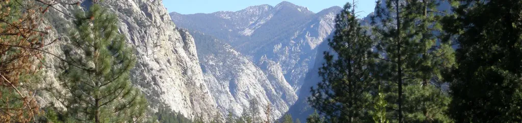 Canyon View Group SitesCampingPhoto: Recreation.gov (RIDB) / public domain6.9 mi
Source: Roamze catalog (indexable pages within 10 miles, PostGIS distance)
- Granite LakeHiking · ~1 min drivePhoto: Tom Hilton, CC BY 2.0 (via Wikimedia Commons)
- Grouse LakeHiking · ~4 min drivePhoto: Tom Hilton, CC BY 2.0 (via Flickr)
 Happy GapHiking · ~9 min drivePhoto: Tom Hilton, CC BY 2.0 (via Wikimedia Commons)
- Copper CreekHiking · ~10 min drive
- Volcanic LakesHiking · ~4 min drivePhoto: Tom Hilton, CC BY 2.0 (via Wikimedia Commons)
- Granite BasinHiking · ~4 min drivePhoto: Tom Hilton, CC BY 2.0 (via Flickr)
 Lower Copper Creek SwitchbacksHiking · ~10 min drivePhoto: lewinb, CC BY-SA 2.0 (via Flickr)
- Mist FallsHiking · ~10 min drive
 Upper Copper Creek SwitchbacksHiking · ~6 min drivePhoto: Tom Hilton, CC BY 2.0 (via Flickr)
- Grouse Lake TrailHiking · ~4 min drivePhoto: Tom Hilton, CC BY 2.0 (via Flickr)