Loading…

Mist Falls
Free — you'll pick up right here.
Watch this trail
Sign up to watch it — saving subscribes you to gate, closure and report changes.
California
We won't guess. Here is exactly what we do and don't know.
What we do know
Inside Kings Canyon National Park
2 managing-area boundaries mapped — agency alerts for them feed this page automatically.
Boundary data
What's missing
No access route mapped
We don't yet know which road reaches this trailhead, so we can't tell you if it's gated.
Nobody's filed a report here yet — be the first.
Mist Falls
AI-suggested draft · review before you go
No elevation data on file for this trail.
No permit or access details on file for this trail — check with the local land manager before you go.
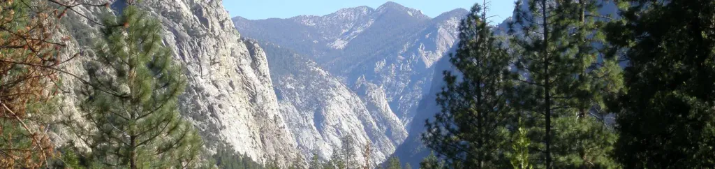
<p>The 8-mile round-trip walk to this spectacular cascade makes a great all-day walk. The first miles are relatively flat and open; in the last mile the wooded trail gains 600' in elevation. Be careful once there: Mist and spray make the surrounding rocks slippery and treacherous. Too often people have slipped and fallen in here.</p>
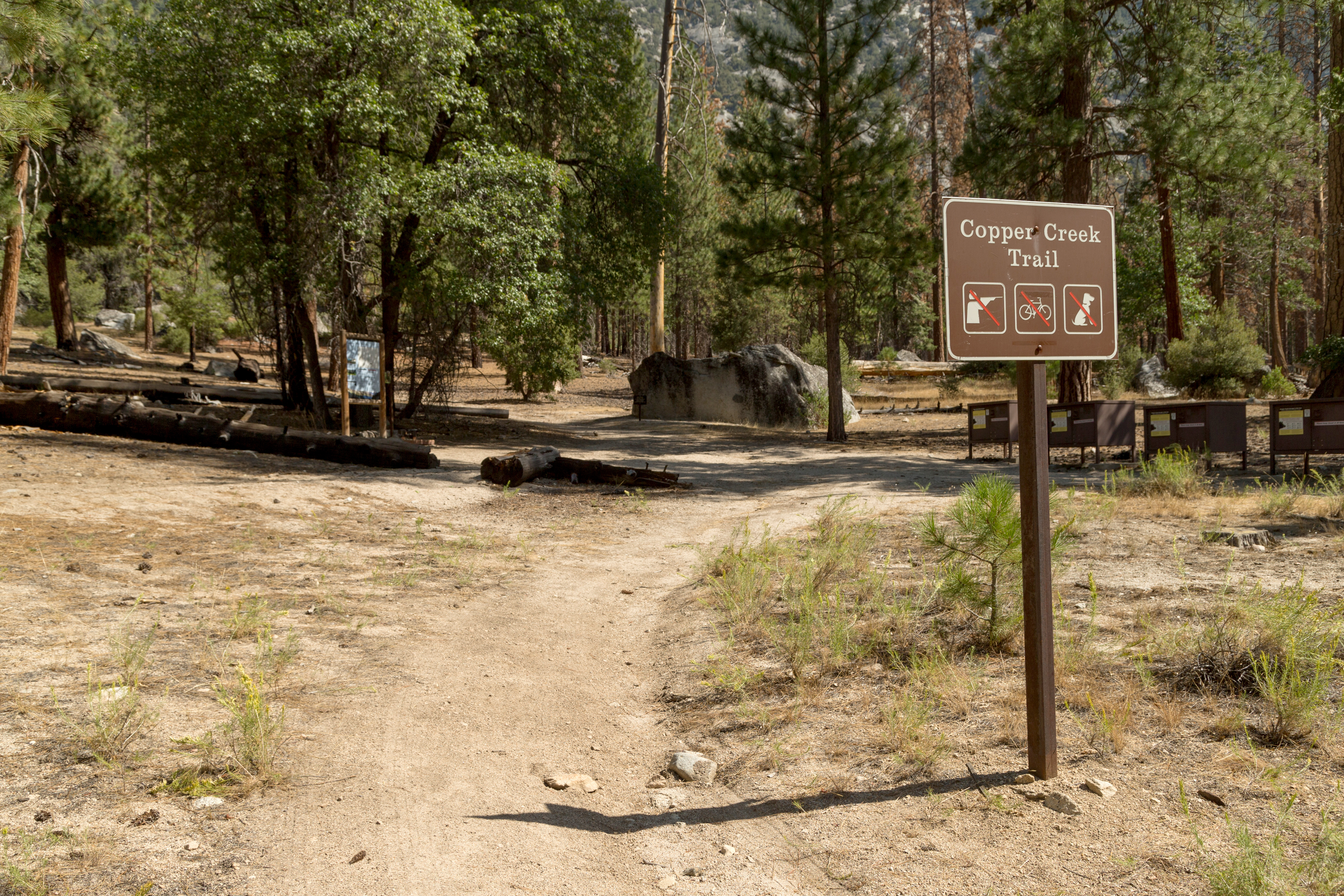
Copper Creek
~4 min drive
<p>This trailhead orientation panel shows a map and images of the Copper Creek Trail area.<br /> <br /> Copper Creek Trail is 10 miles one-way (20 miles round-trip) at a difficult incline. The trail travels through several aspen forests and meadows, ending at Granite Lake, a s…
Happy Gap
~15 min drive
Moderate 8-mile foothill hike with 2,742 ft elevation gain and scenic views.
Choke Creek
~17 min drive
Steep 3-mile creek-side climb with 1,755 ft elevation gain.
Lookout Peak
~17 min drive
Quick summit hike with nearly 500 ft gain and expansive views.
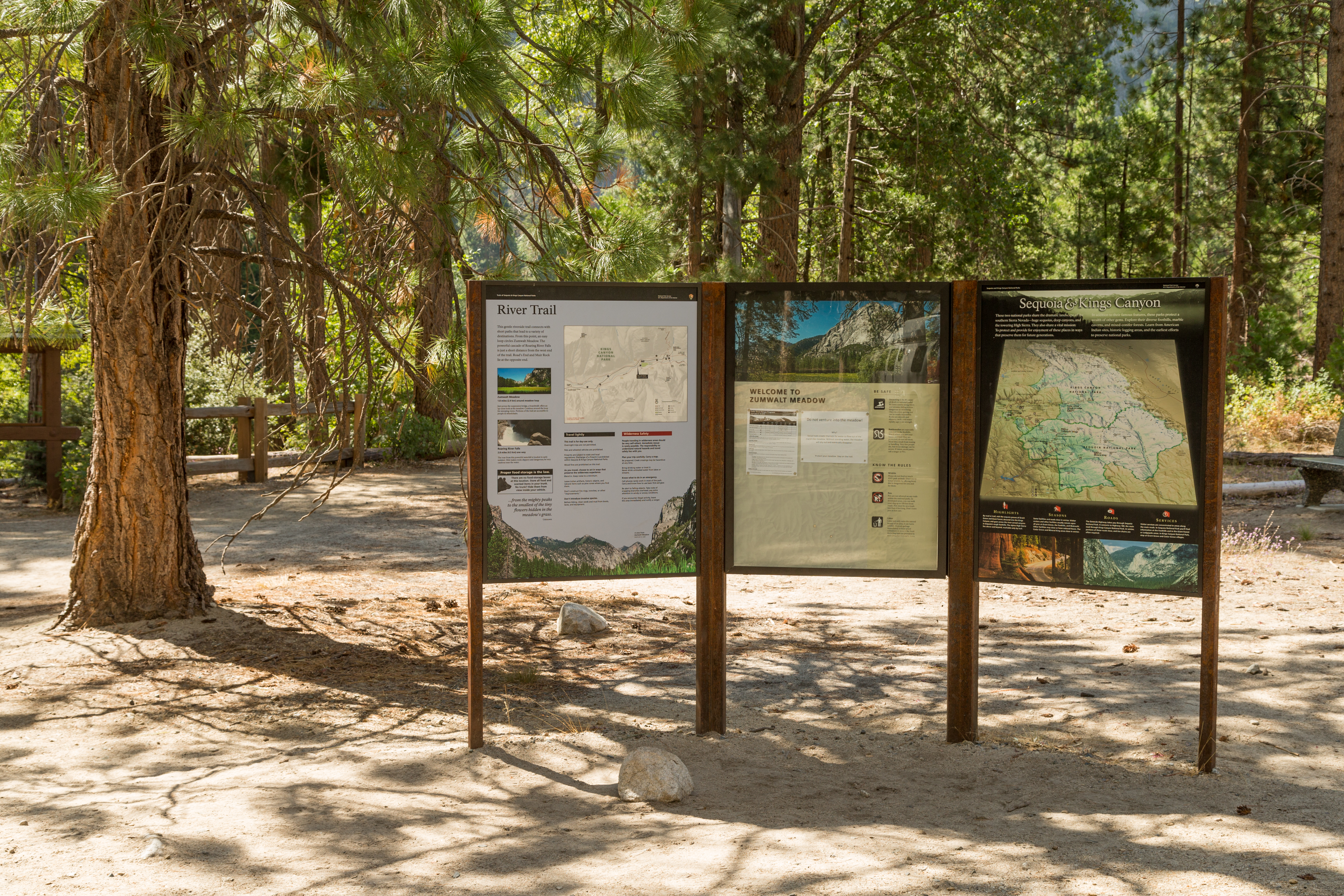
Zumwalt Meadow Trailhead
~5 min drive
<p> </p> <p>This trailhead orientation panel shows a map and images of the Zumwalt Meadow area.</p> <h4>River Safety</h4> <p>Most of the year, the river flows gently along one side of the meadow, but in spring and early summer the water is cold an currents are swift. Be carefu…
Deer Cove
~16 min drive
Strenuous 18.8-mile backcountry trek with nearly 6,000 ft elevation gain.
Golden Trout Lake
~20 min drive
Steep alpine hike to a pristine high-elevation lake in the Sierra Nevada.
Matlock Lake
~19 min drive
Easy alpine lake hike with 324 ft gain near Matlock Lake, California.
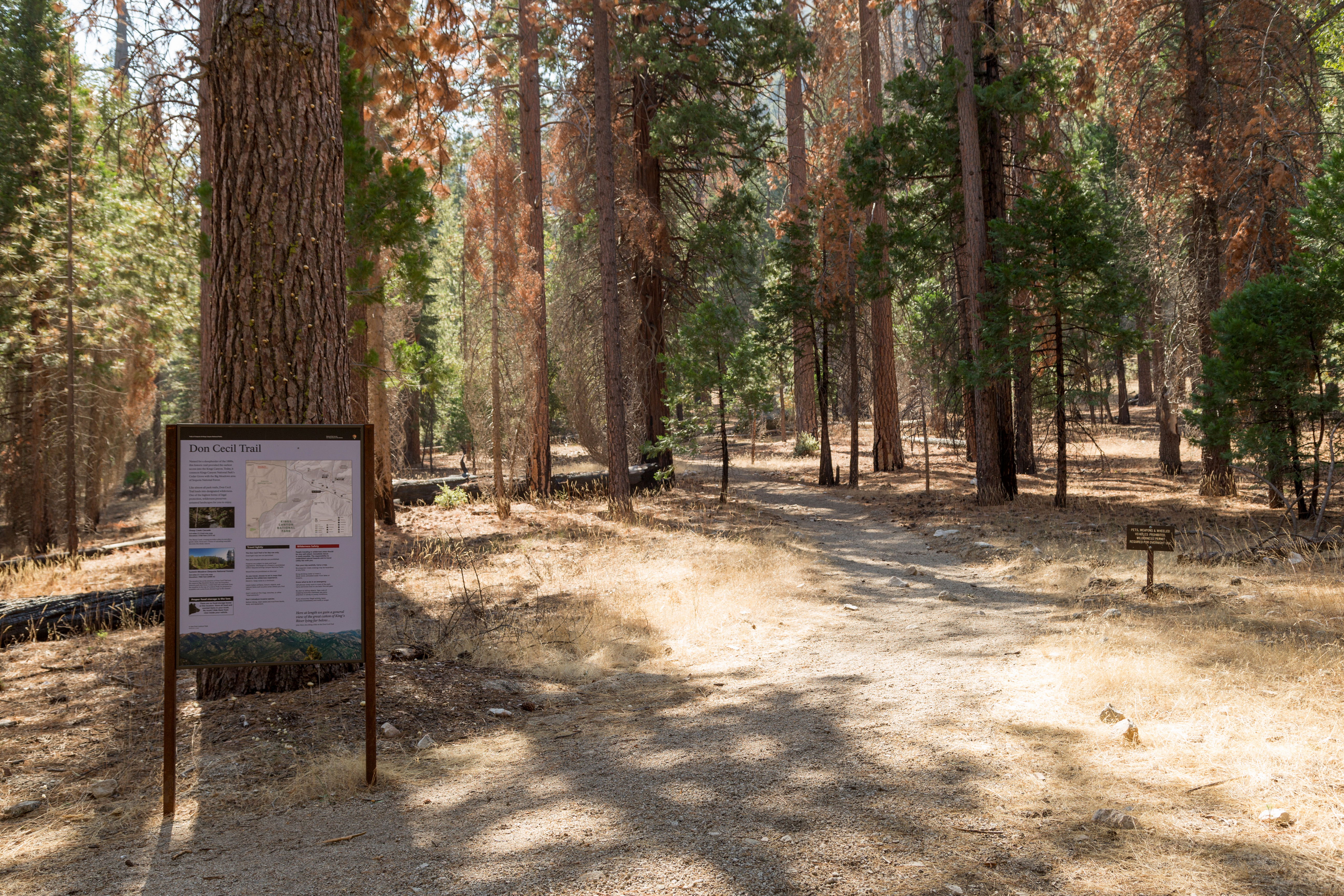
Don Cecil Trailhead
~12 min drive
<p>The 4.4 mile one-way (8.8 mile round-trip) Don Cecil Trail is a steep climb along the north-facing slope of Kings Canyon. If you're looking for a shorter hike, Sheep Creek Cascade is about a mile up the trail and offers a shady spot to sit and relax.<br /> <br /> This histo…
Baxter Pass
~17 min drive
Steep alpine scramble to a high Sierra pass with dramatic exposure.