Gardiner Basin Trail
 Photo: Kurt Minard, CC BY-SA 3.0 (via Wikimedia Commons)
- 6.6 mi
- round trip
- 5,919 ft
- climb
- 11,494 ft
- high point
- Out and back
- route
Is Gardiner Basin Trail open right now?
No closures listed
The National Park Service lists no closures for Kings Canyon National Park.
As of · Source: NPS · Kings Canyon National Park. Agencies don't list every closure — check before you go.
Gardiner Basin Trail is a 13.3-mile out-and-back hike in Kings Canyon National Park, California, within the Sequoia-Kings Canyon Wilderness. The route starts at about 10,615 feet and climbs steadily to a high point of 11,494 feet, with a total elevation gain of 5,919 feet over the course of the trip. The trail is rated expert, and the National Park Service manages the land. The climb is a steady one, and the round trip involves about 5,919 feet of gain and the same amount of loss. Plan on about 7.5 hours for the hike. Several other destinations sit within a few miles. Lower Sixty Lakes Basin is about 3.5 miles away, and Mist Falls is about 3.6 miles away. The Kearsarge Pass to Cedar Grove climbing area is about 3.8 miles away, and Onion Valley campground is about 8 miles away.
Local outfitters
- Glacier Lodge22 mi away
- Rainbow Pack Outfitters27 mi away
Not on Roamze yet. Their page has how to reach them.
 Lower Sixty Lakes BasinHikingPhoto: Matt Lavin, CC BY-SA 2.0 (via Flickr)3.5 mi
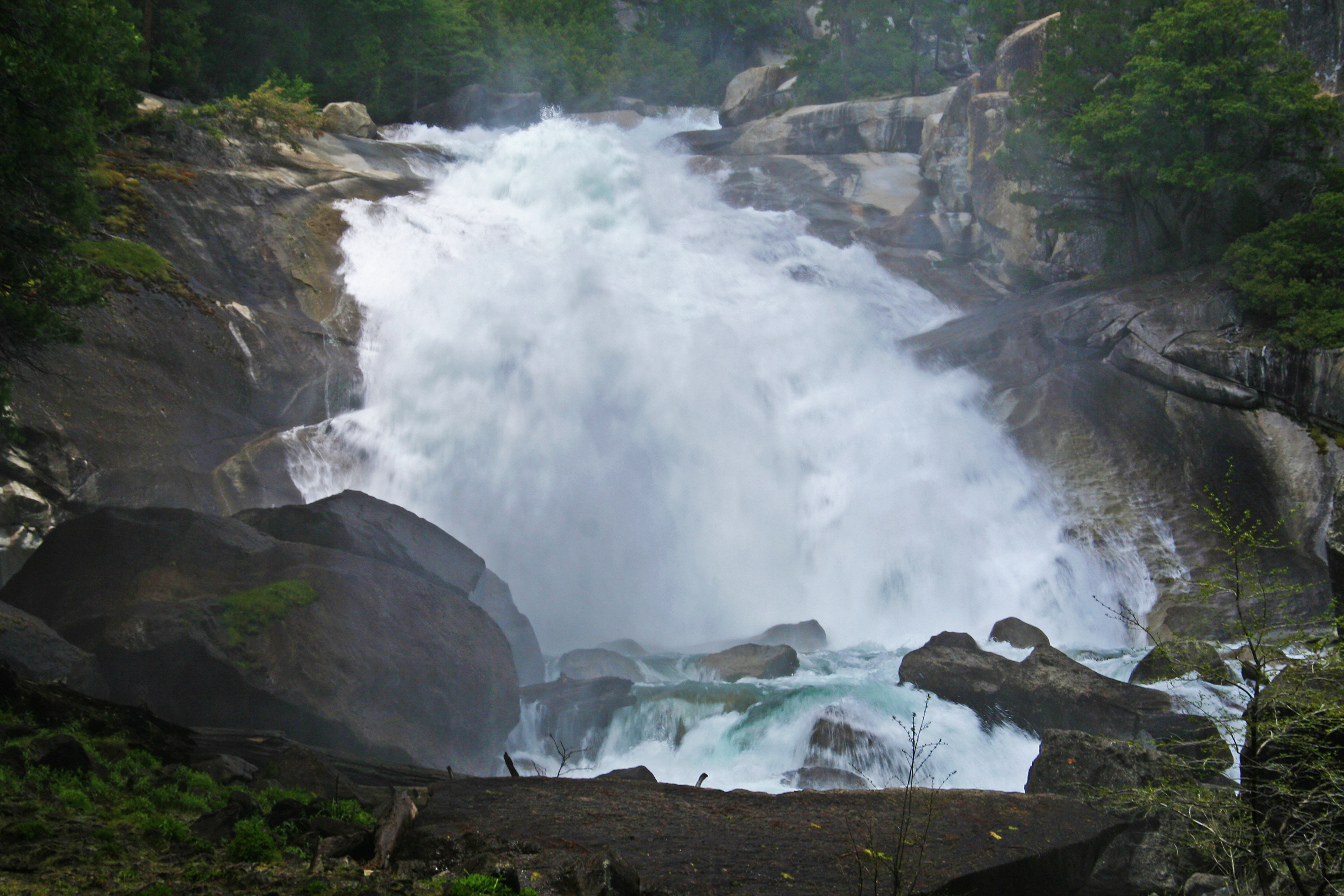 Mist FallsHiking3.6 mi
 Paradise ValleyHikingPhoto: lewinb, CC BY-SA 2.0 (via Flickr)3.7 mi
- Kearsarge Pass to Cedar GroveRock climbing3.8 mi
- Roads EndRock climbing5.4 mi
- Woods CreekCanoeing5.9 mi
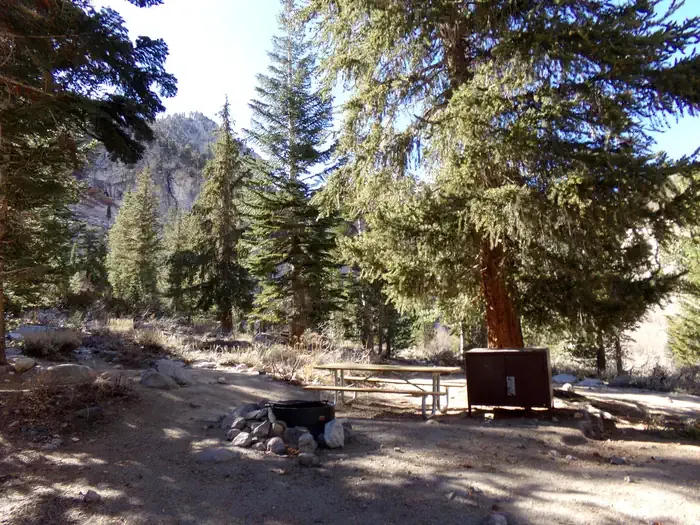 Onion ValleyCampingPhoto: Recreation.gov (RIDB) / public domain8 mi
- Roaring RiverCanoeing8.1 mi
Source: Roamze catalog (indexable pages within 10 miles, PostGIS distance)
- Lower Sixty Lakes BasinHiking · ~6 min drivePhoto: Matt Lavin, CC BY-SA 2.0 (via Flickr)
- Mist FallsHiking · ~6 min drive
 Bubbs Creek SwitchbacksHiking · ~7 min drivePhoto: ilya_ktsn, CC BY 2.0 (via Flickr)
 Bubbs CreekHiking · ~7 min drivePhoto: ilya_ktsn, CC BY 2.0 (via Flickr)
- Paradise ValleyHiking · ~6 min drivePhoto: lewinb, CC BY-SA 2.0 (via Flickr)
- Copper CreekHiking · ~9 min drive
- Mist FallsHiking · ~7 min drivePhoto: ilya_ktsn, CC BY 2.0 (via Flickr)
 Baxter PassHiking · ~8 min drivePhoto: Matt Lavin, CC BY-SA 2.0 (via Flickr)
 Charlotte LakeHiking · ~8 min drivePhoto: Matt Lavin, CC BY-SA 2.0 (via Flickr)
 Vidette SwitchbacksHiking · ~8 min drivePhoto: Matt Lavin, CC BY-SA 2.0 (via Flickr)
Also worth it near here
 Charlotte DomeSummit · ~2 min drivePhoto: Original by Will Keightley (feverblue), cropped by user:Droll, CC BY-SA 2.0 (via Wikimedia Commons)
- Gardiner LakesLake fishing · ~4 min drive
 North BeachRock climbing · ~10 min drivePhoto: Tom Hilton, CC BY 2.0 (via Flickr)
 Roaring River FallsWaterfall · ~13 min drivePhoto: ogwen, CC BY-SA 3.0 (via Wikimedia Commons)
Map and trail data © OpenStreetMap contributors
