Summit Trail
- 8.4 mi
- round trip
- 4,297 ft
- climb
- 9,069 ft
- high point
- Out and back
- route
Is Summit Trail open right now?
Closure in the area
There's a closure order in Sequoia National Forest. It doesn't name Summit Trail, so check the source for the area it covers (2 listed).
Tule River Glass Container Prohibition Area
Agency closure covering Sequoia National Forest · Order 0513-26-02 · USFS · Sequoia National Forest
Trail of 100 Giants Boardwalk and Area Closure
Agency closure covering Sequoia National Forest · Order 0513-26-03 · USFS · Sequoia National Forest
PUBLIC NUDITY PROHIBITION - Sequoia National Forest
Agency alert covering Sequoia National Forest · Order 0513-26-06 · USFS · Sequoia National Forest
Chico Flat Dispersed Camping Area Prohibition 26-27
Agency alert covering Sequoia National Forest · Order 0513-26-09 · USFS · Sequoia National Forest
Wildlife Alert - BEARS
Agency alert covering Sequoia National Forest · USFS · Sequoia National Forest
As of · Source: USFS · Sequoia National Forest. Agencies don't list every closure — check before you go.
Summit Trail is an out-and-back route in California's Sequoia National Forest, within the Western Divide Ranger District, managed by the Forest Service. The hike is about 17 miles long, and it gains about 500 feet from its start elevation of roughly 9,000 feet to a high point of about 9,070 feet. The trail is a moderate climb, and it starts at a high elevation. The route is shaped like a loop, with the high point near the middle, so the total gain is about 500 feet one way. That makes it a reasonable choice for a full day on the trail, with Bear Creek just 0.1 mile away for a short detour. For a place this high, summer is the most comfortable time to go. Typical averages from a nearby weather station run from highs in the mid-80s to low 90s in July and August, with winter highs in the low 50s. Coy Flat campground is about 2.7 miles away, and Dome Rock and Quaking Aspen are both about 3.2 miles out. The South Fork Tule River, about 10 miles away, offers canoeing.
Local outfitters
- Big Willi Mountaineering Company46 mi away
Not on Roamze yet. Their page has how to reach them.
- Bear CreekHiking0.1 mi
- Coy FlatCamping2.7 mi
- Dome RockRock climbing3.2 mi
- Quaking AspenCamping3.2 mi
- Quaking Aspen CabinCamping3.2 mi
- Bear Creek TrailHiking3.7 mi
- The Needles / Kern RiverRock climbing4.9 mi
- South Fork Tule RiverCanoeing9.8 mi
Source: Roamze catalog (indexable pages within 10 miles, PostGIS distance)
 NelsonHiking · ~6 min drivePhoto: npdoty, CC BY 2.0 (via Flickr)
 Summit TrailHiking · ~7 min drivePhoto: npdoty, CC BY 2.0 (via Flickr)
 Elephant KnobHiking · ~13 min drivePhoto: Klaus Eltrop, CC BY-SA 3.0 (via Wikimedia Commons)
 Rincon TrailHiking · ~17 min drivePhoto: RuggyBearLA, CC BY 2.0 (via Flickr)
- Freeman CreekHiking · ~7 min drivePhoto: npdoty, CC BY 2.0 (via Flickr)
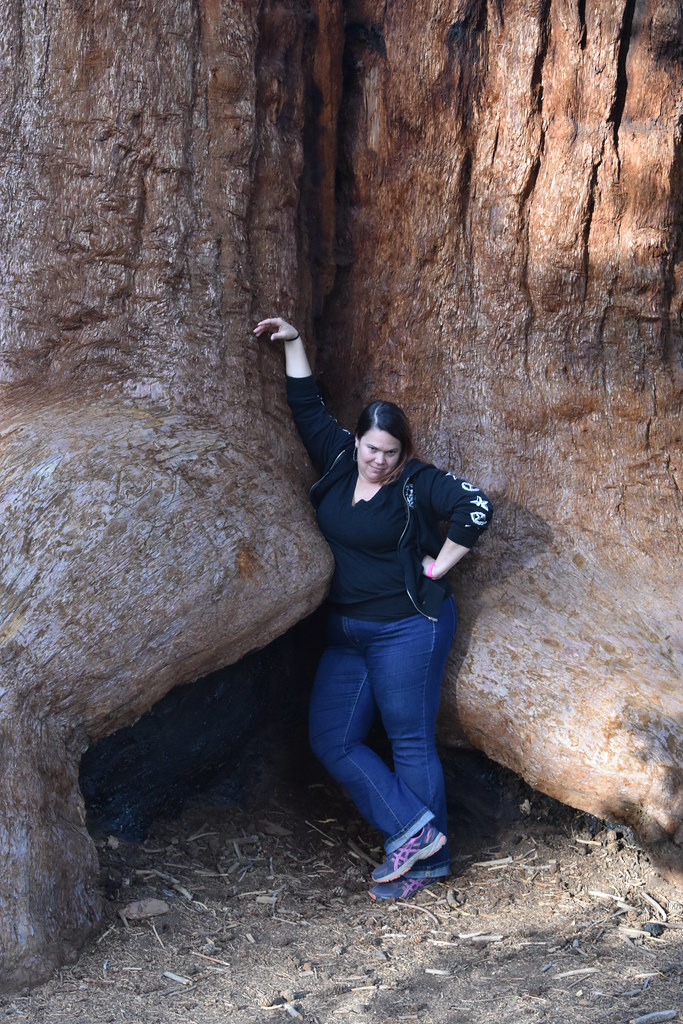 Trail of 100 GiantsHiking · ~13 min drivePhoto: reverendlukewarm — CC BY-SA 2.0 (via Flickr)
 Summit TrailHiking · ~5 min drivePhoto: npdoty, CC BY 2.0 (via Flickr)
- Bear Creek TrailHiking · ~6 min drive
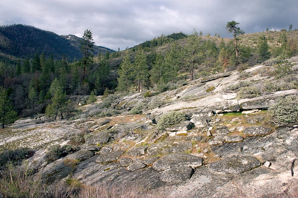 Speas RidgeHiking · ~14 min drivePhoto: David~O, CC BY 2.0 (via Flickr)
- Mule Peak LookoutHiking · ~9 min drive
Map and trail data © OpenStreetMap contributors
