Elephant Knob
 Photo: Klaus Eltrop, CC BY-SA 3.0 (via Wikimedia Commons)
- 3.6 mi
- round trip
- 274 ft
- climb
- 4,613 ft
- high point
- Out and back
- route
- Feb–Jun, Sep–Nov
- best months
Is Elephant Knob open right now?
Closure in the area
There's a closure order in Sequoia National Forest. It doesn't name Elephant Knob, so check the source for the area it covers (2 listed).
Tule River Glass Container Prohibition Area
Agency closure covering Sequoia National Forest · Order 0513-26-02 · USFS · Sequoia National Forest
Trail of 100 Giants Boardwalk and Area Closure
Agency closure covering Sequoia National Forest · Order 0513-26-03 · USFS · Sequoia National Forest
PUBLIC NUDITY PROHIBITION - Sequoia National Forest
Agency alert covering Sequoia National Forest · Order 0513-26-06 · USFS · Sequoia National Forest
Chico Flat Dispersed Camping Area Prohibition 26-27
Agency alert covering Sequoia National Forest · Order 0513-26-09 · USFS · Sequoia National Forest
Wildlife Alert - BEARS
Agency alert covering Sequoia National Forest · USFS · Sequoia National Forest
As of · Source: USFS · Sequoia National Forest. Agencies don't list every closure — check before you go.
Elephant Knob is a moderate 3.6-mile out-and-back hike on natural trail surface in the Western Divide Ranger District of Sequoia National Forest in California. The trail rises about 274 feet from a low point of 4,411 feet to a high of 4,613 feet, and it is managed by the Forest Service. Bikes and horses are both allowed, so the route works for riders and pack animals as well as hikers. Late spring and early fall are the most comfortable times to go. Typical averages from a nearby weather station in Glennville show May highs around 72°F and October highs around 73°F, while July and August average highs near 89°F and winter brings frequent snow days. That station sits well below the knob, so temperatures up high run cooler. The trail is open year-round, and the closest neighbors are Bean Camp, about 1.3 miles away, and the Kern River Upper, about 2.6 miles off. Brush Creek and Limestone campgrounds, both under 3 miles away, offer places to stay.
Local outfitters
- Big Willi Mountaineering Company48 mi away
Not on Roamze yet. Their page has how to reach them.
Best time to go · Feb–Jun, Sep–Nov
Best time to visit Elephant Knob
Best months: February–June and September–November. Best months have typical highs of 55–85 °F, lows of 30 °F or warmer (32 °F where the station doesn't record snow), at most one snowy day and no more than 12 wet days.
Jan
57° / 28°
9 wet · 1 snow
Feb
57° / 30°
9 wet · 1 snow
Mar
60° / 32°
8 wet · 1 snow
Apr
64° / 35°
6 wet
May
72° / 41°
4 wet
Jun
82° / 46°
1 wet
Jul
89° / 52°
1 wet
Aug
89° / 50°
1 wet
Sep
84° / 45°
1 wet
Oct
73° / 38°
3 wet
Nov
62° / 32°
6 wet
Dec
55° / 27°
8 wet · 1 snow
Typical high / low (°F) and days with rain or snow, 1991–2020. Measured at Glennville, CA, 21.8 mi away at 3,140 ft. The station sits about 1,500 ft lower than this place, so expect it a little cooler here. Source: NOAA NCEI U.S. Climate Normals 1991–2020.
Keep exploring — more trails worth the drive
 Photo: RuggyBearLA, CC BY 2.0 (via Flickr)
Rincon Trail
~4 min drive
24.1-mile out-and-back trail in California with 5,482 ft elevation gain
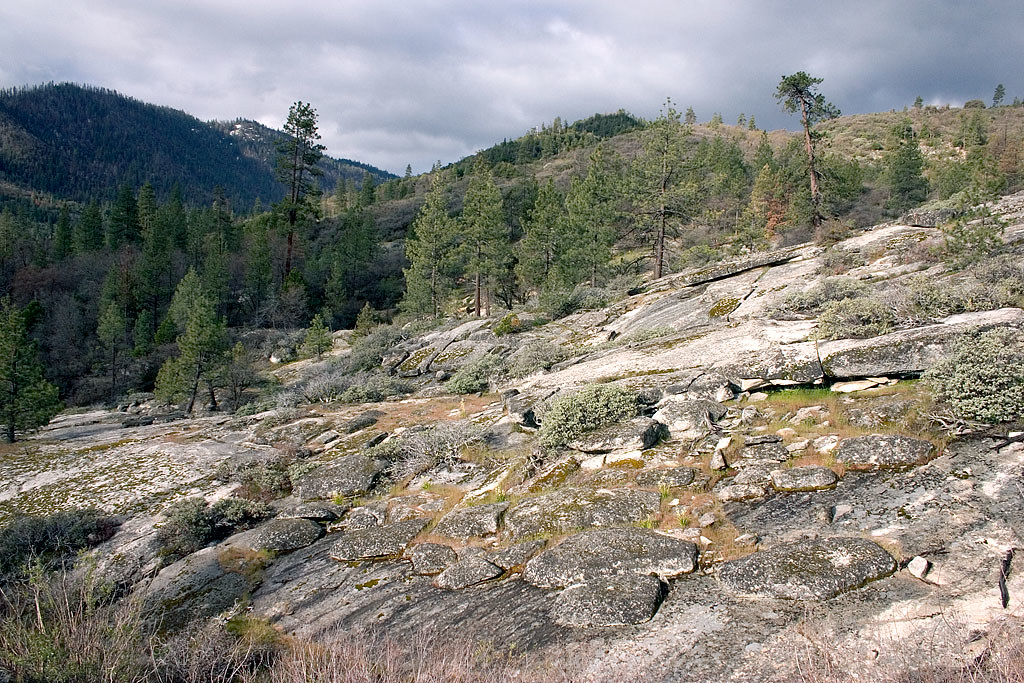 Photo: David~O, CC BY 2.0 (via Flickr)
Speas Ridge
~5 min drive
6-mile out-and-back trail in California with 2,632 ft of elevation gain.
 Photo: inkknife_2000 (7.5 million views +), CC BY-SA 2.0 (via Wikimedia Commons)
Packsaddle
~8 min drive
4.60-mile out-and-back trail in California with 1943 ft elevation gain.
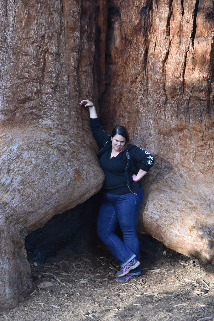 Photo: reverendlukewarm — CC BY-SA 2.0 (via Flickr)
Trail of 100 Giants
~10 min drive
1.33-mile out-and-back trail in California with 116 ft of elevation gain.
Photo: inkknife_2000 (7.5 million views +), CC BY-SA 2.0 (via Wikimedia Commons)Whiskey Flat
~8 min drive
Whiskey Flat is a 24.80-mile out-and-back trail in California with 1,563 feet of elevation gain.
 Photo: RuggyBearLA, CC BY 2.0 (via Flickr)
Sherman Peak
~13 min drive
4.20-mile out-and-back trail to Sherman Peak in California.
 Photo: npdoty, CC BY 2.0 (via Flickr)
Summit Trail
~17 min drive
1.38-mile out-and-back trail in California with 458 ft elevation gain and loss.
 Photo: inkknife_2000 (7.5 million views +), CC BY-SA 2.0 (via Wikimedia Commons)
Tobias Creek
~9 min drive
10.12-mile out-and-back trail in California with 3,703 ft of elevation gain.
 Photo: npdoty, CC BY 2.0 (via Flickr)
Summit Trail
~16 min drive
3.0-mile out-and-back trail in California with 1,358 ft gain and 7,377 ft max elevation.
 Photo: anon4809, Public Domain Dedication (CC0) (via Flickr)
Rincon
~13 min drive
2.00-mile out-and-back trail in California with 947 ft elevation gain.
