Speas Ridge
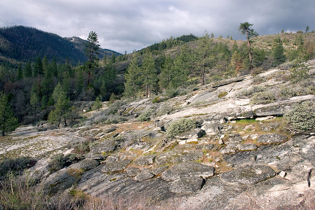 Photo: David~O, CC BY 2.0 (via Flickr)
- 6.0 mi
- round trip
- 2,386 ft
- climb
- 7,008 ft
- high point
- Out and back
- route
Caution at last check
Agency alerts are in effect for this area; weather is good · USFS, OpenWeather · checked 18 h ago
Is Speas Ridge open right now?
Closure in the area
There's a closure order in Sequoia National Forest. It doesn't name Speas Ridge, so check the source for the area it covers (2 listed).
Tule River Glass Container Prohibition Area
Agency closure covering Sequoia National Forest · Order 0513-26-02 · USFS · Sequoia National Forest
Trail of 100 Giants Boardwalk and Area Closure
Agency closure covering Sequoia National Forest · Order 0513-26-03 · USFS · Sequoia National Forest
PUBLIC NUDITY PROHIBITION - Sequoia National Forest
Agency alert covering Sequoia National Forest · Order 0513-26-06 · USFS · Sequoia National Forest
Chico Flat Dispersed Camping Area Prohibition 26-27
Agency alert covering Sequoia National Forest · Order 0513-26-09 · USFS · Sequoia National Forest
Wildlife Alert - BEARS
Agency alert covering Sequoia National Forest · USFS · Sequoia National Forest
As of · Source: USFS · Sequoia National Forest. Agencies don't list every closure — check before you go.
Speas Ridge is a 6-mile out-and-back hike in the Western Divide Ranger District of Sequoia National Forest in California, managed by the Forest Service. The trail rises from a low point of about 4,668 feet to a high of 7,008 feet, with a total elevation gain of 2,386 feet. It is a hard route, and the climb is spread across the full length of the trail. The trail is open year-round, and the surface is natural. Bikes and horses are both allowed, so the route works for riders and pack animals as well as hikers. For supplies and a place to stay, Upper Peppermint campground sits about 1.5 miles away, and Long Meadow Group and Redwood Meadow are within about 3 miles. The Trail of 100 Giants lies roughly 3.2 miles off.
- Upper PeppermintCamping1.5 mi
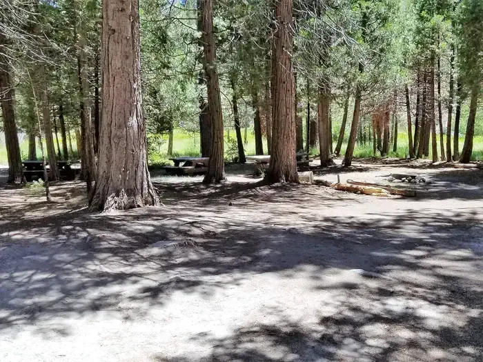 Long Meadow GroupCampingPhoto: Recreation.gov (RIDB) / public domain2.4 mi
- Redwood MeadowCamping3 mi
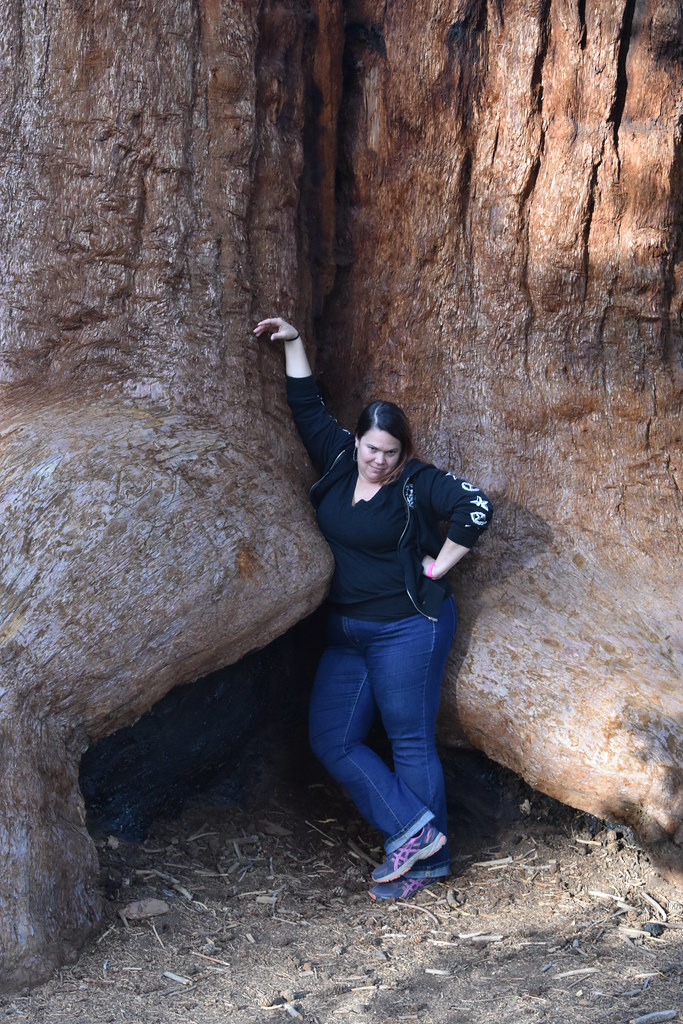 Trail of 100 GiantsHikingPhoto: reverendlukewarm — CC BY-SA 2.0 (via Flickr)3.2 mi
 Elephant KnobHikingPhoto: Klaus Eltrop, CC BY-SA 3.0 (via Wikimedia Commons)3.2 mi
 Whiskey FlatHikingPhoto: inkknife_2000 (7.5 million views +), CC BY-SA 2.0 (via Wikimedia Commons)3.8 mi
- The Needles / Kern RiverRock climbing5.2 mi
- Sherman PassRock climbing5.9 mi
Source: Roamze catalog (indexable pages within 10 miles, PostGIS distance)
 Tobias CreekHiking · ~7 min drivePhoto: inkknife_2000 (7.5 million views +), CC BY-SA 2.0 (via Wikimedia Commons)
 Rincon TrailHiking · ~8 min drivePhoto: RuggyBearLA, CC BY 2.0 (via Flickr)
- Elephant KnobHiking · ~5 min drivePhoto: Klaus Eltrop, CC BY-SA 3.0 (via Wikimedia Commons)
 RinconHiking · ~12 min drivePhoto: anon4809, Public Domain Dedication (CC0) (via Flickr)
 Flynn CanyonHiking · ~7 min drivePhoto: inkknife_2000 (7.5 million views +), CC BY-SA 2.0 (via Wikimedia Commons)
- PacksaddleHiking · ~7 min drivePhoto: inkknife_2000 (7.5 million views +), CC BY-SA 2.0 (via Wikimedia Commons)
- Trail of 100 GiantsHiking · ~5 min drivePhoto: reverendlukewarm — CC BY-SA 2.0 (via Flickr)
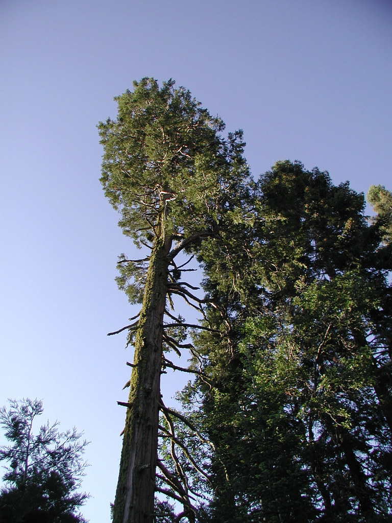 PowderhornHiking · ~8 min drivePhoto: selkovjr, CC BY 2.0 (via Flickr)
 Sherman PeakHiking · ~17 min drivePhoto: RuggyBearLA, CC BY 2.0 (via Flickr)
- PowderhornHiking · ~12 min drive
