Bear Creek
- 2.8 mi
- round trip
- 594 ft
- climb
- 8,999 ft
- high point
- Out and back
- route
Is Bear Creek open right now?
Closure in the area
There's a closure order in Sequoia National Forest. It doesn't name Bear Creek, so check the source for the area it covers (2 listed).
Tule River Glass Container Prohibition Area
Agency closure covering Sequoia National Forest · Order 0513-26-02 · USFS · Sequoia National Forest
Trail of 100 Giants Boardwalk and Area Closure
Agency closure covering Sequoia National Forest · Order 0513-26-03 · USFS · Sequoia National Forest
PUBLIC NUDITY PROHIBITION - Sequoia National Forest
Agency alert covering Sequoia National Forest · Order 0513-26-06 · USFS · Sequoia National Forest
Chico Flat Dispersed Camping Area Prohibition 26-27
Agency alert covering Sequoia National Forest · Order 0513-26-09 · USFS · Sequoia National Forest
Wildlife Alert - BEARS
Agency alert covering Sequoia National Forest · USFS · Sequoia National Forest
As of · Source: USFS · Sequoia National Forest. Agencies don't list every closure — check before you go.
Bear Creek is an easy out-and-back hike in the Western Divide Ranger District of Sequoia National Forest in California, about 2.8 miles long with a one-way elevation gain of 594 feet. The trail runs on natural surface and is open year-round, and it is managed by the Forest Service. It is a short, low-commitment outing that makes a good addition to a day in the district. The climb begins at a low point of about 8,388 feet and reaches a high point of about 8,999 feet. That means the trail stays comfortably within the upper forest zone, and the natural surface makes for an easy walk. Bikes are allowed, so it works well for a ride as well as a foot hike. The Summit Trail starts just 0.1 mile away, making it easy to pair the two. Coy Flat campground is about 2.7 miles off, and Quaking Aspen campground and the Dome Rock climbing area are both about 3.2 miles away.
Local outfitters
- Big Willi Mountaineering Company46 mi away
Not on Roamze yet. Their page has how to reach them.
Keep exploring — more trails worth the drive
 Photo: npdoty, CC BY 2.0 (via Flickr)
Summit Trail
~5 min drive
3.0-mile out-and-back trail in California with 1,358 ft gain and 7,377 ft max elevation.
 Photo: npdoty, CC BY 2.0 (via Flickr)
Nelson
~6 min drive
7.20-mile out-and-back trail in California with 2,029 ft gain.
 Photo: npdoty, CC BY 2.0 (via Flickr)
Summit Trail
~7 min drive
1.38-mile out-and-back trail in California with 458 ft elevation gain and loss.
 Photo: RuggyBearLA, CC BY 2.0 (via Flickr)
Rincon Trail
~17 min drive
24.1-mile out-and-back trail in California with 5,482 ft elevation gain
 Photo: Klaus Eltrop, CC BY-SA 3.0 (via Wikimedia Commons)
Elephant Knob
~13 min drive
3.60-mile out-and-back trail in California with 349 ft elevation gain.
Photo: npdoty, CC BY 2.0 (via Flickr)Freeman Creek
~7 min drive
10.40-mile out-and-back trail in California with 609 ft gain
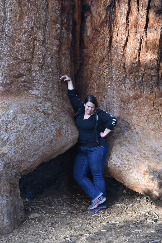 Photo: reverendlukewarm — CC BY-SA 2.0 (via Flickr)
Trail of 100 Giants
~13 min drive
1.33-mile out-and-back trail in California with 116 ft of elevation gain.
HIKE
Bear Creek Trail
~6 min drive
12.74-mile out-and-back trail in California with 5,552 ft gain and 9,041 ft max elevation.
HIKE
Summit Trail
~8 min drive
3.9-mile out-and-back hike in California with 1,945 ft elevation gain and loss.
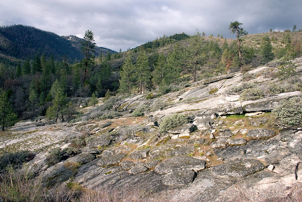 Photo: David~O, CC BY 2.0 (via Flickr)
Speas Ridge
~14 min drive
6-mile out-and-back trail in California with 2,632 ft of elevation gain.
Also worth it near here
