Coy Flat
Campground
Campground · < 0.1 mi from the trail
Closure in the area
There's a closure order in Sequoia National Forest. It doesn't name Coy Flat, so check the source for the area it covers (2 listed).
Tule River Glass Container Prohibition Area
Agency closure covering Sequoia National Forest · Order 0513-26-02 · USFS · Sequoia National Forest
Trail of 100 Giants Boardwalk and Area Closure
Agency closure covering Sequoia National Forest · Order 0513-26-03 · USFS · Sequoia National Forest
PUBLIC NUDITY PROHIBITION - Sequoia National Forest
Agency alert covering Sequoia National Forest · Order 0513-26-06 · USFS · Sequoia National Forest
Chico Flat Dispersed Camping Area Prohibition 26-27
Agency alert covering Sequoia National Forest · Order 0513-26-09 · USFS · Sequoia National Forest
Wildlife Alert - BEARS
Agency alert covering Sequoia National Forest · USFS · Sequoia National Forest
As of · Source: USFS · Sequoia National Forest. Agencies don't list every closure — check before you go.
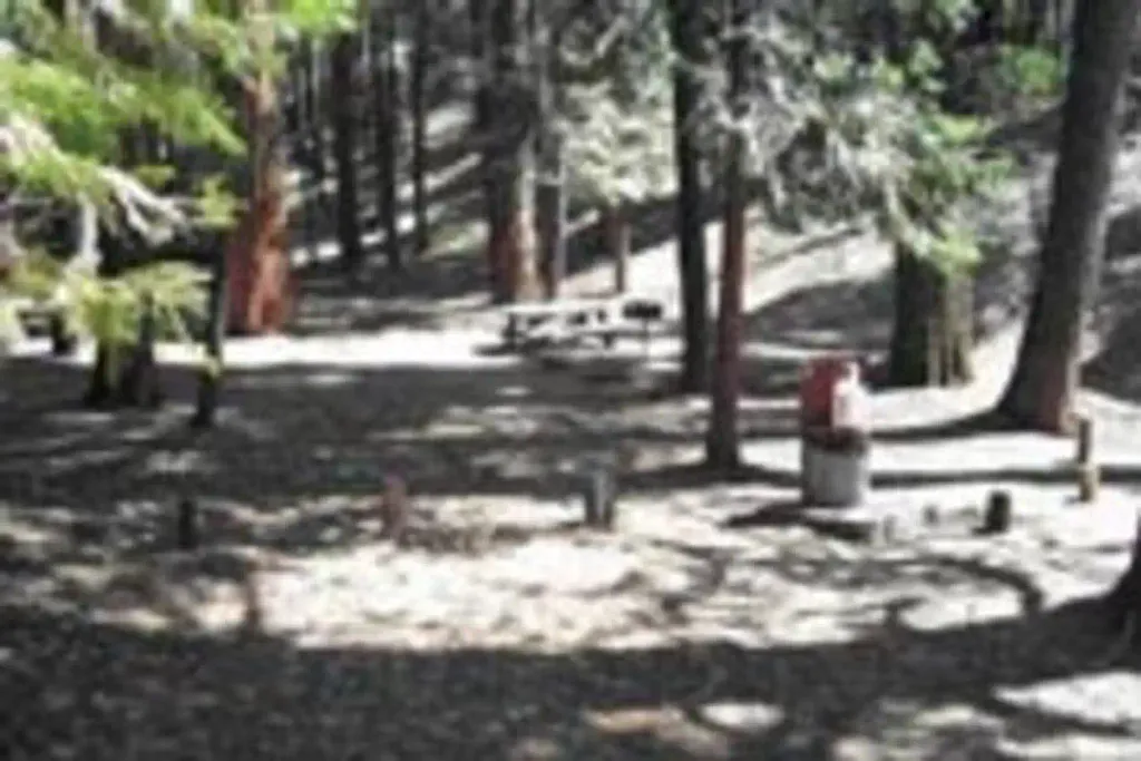
Located 20 miles east of Springville, CA, near Camp Nelson via State Highway 190. The campground has 19 single family units and 1 double family unit. Some units can accommodate recreational vehicles up to maximum length of 24 feet. Sanitary facilities, potable water, tables, and BBQ stoves are provided. Open from May 15th through October 15th dependent upon weather conditions. Elevation is 5,000 feet. Hiking trails pass through nearby giant sequoia groves. The Middle Fork of the Tule River and Bear Creek are within a short walking or driving distance. Fishing is available year around on the Tule River Drainage. Consult the CA Department of Fish and Game for specific regulations. Supplies are available at Camp Nelson and Pierpoint Springs located within 2 miles of the campground. Rocky Mountain Recreation (RMR)All developed campground areas on the Forest operate under a concessionaire permit with RMR. For additional information, please visit https://rockymountainrec.com, or call their home office at (661) 702-1420, or their Lake Isabella office at760-376-1269.
Coy Flat
Campground
 BelknapCampingPhoto: Recreation.gov (RIDB) / public domain2.5 mi
 NelsonHikingPhoto: npdoty, CC BY 2.0 (via Flickr)2.6 mi
Source: Roamze catalog (indexable pages within 10 miles, PostGIS distance)
Best months: June–October. Best months have typical highs of 55–85 °F, lows of 30 °F or warmer (32 °F where the station doesn't record snow), at most one snowy day and no more than 12 wet days.
Jan
39° / 17°
9 wet · 8 snow
Feb
41° / 18°
10 wet · 8 snow
Mar
45° / 22°
10 wet · 8 snow
Apr
50° / 26°
8 wet · 5 snow
May
58° / 33°
5 wet · 2 snow
Jun
68° / 40°
3 wet
Jul
76° / 46°
2 wet
Aug
76° / 44°
2 wet
Sep
70° / 39°
2 wet
Oct
59° / 31°
4 wet · 1 snow
Nov
47° / 23°
6 wet · 4 snow
Dec
37° / 17°
8 wet · 6 snow
Typical high / low (°F) and days with rain or snow, 1991–2020. Measured at Lodgepole, CA, 34.7 mi away at 6,735 ft. The station sits about 800 ft higher than this place, so expect it a little warmer here. Source: NOAA NCEI U.S. Climate Normals 1991–2020.

