Rincon Trail
 Photo: RuggyBearLA, CC BY 2.0 (via Flickr)
- 12.1 mi
- round trip
- 5,482 ft
- climb
- 5,699 ft
- high point
- Out and back
- route
Is Rincon Trail open right now?
Closure in the area
There's a closure order in Sequoia National Forest. It doesn't name Rincon Trail, so check the source for the area it covers (2 listed).
Tule River Glass Container Prohibition Area
Agency closure covering Sequoia National Forest · Order 0513-26-02 · USFS · Sequoia National Forest
Trail of 100 Giants Boardwalk and Area Closure
Agency closure covering Sequoia National Forest · Order 0513-26-03 · USFS · Sequoia National Forest
PUBLIC NUDITY PROHIBITION - Sequoia National Forest
Agency alert covering Sequoia National Forest · Order 0513-26-06 · USFS · Sequoia National Forest
Chico Flat Dispersed Camping Area Prohibition 26-27
Agency alert covering Sequoia National Forest · Order 0513-26-09 · USFS · Sequoia National Forest
Wildlife Alert - BEARS
Agency alert covering Sequoia National Forest · USFS · Sequoia National Forest
As of · Source: USFS · Sequoia National Forest. Agencies don't list every closure — check before you go.
Rincon Trail is a long, steep out-and-back hike in California's Sequoia National Forest, on the Kern River Ranger District. The route is about 24 miles long, with a total elevation gain of roughly 5,500 feet over the round trip. The high point sits at about 5,700 feet, and the climb is steady from start to finish, with the steepest stretch coming within the first mile at about 20% grade. The trail begins at an elevation of about 4,850 feet and ends at the same level, so the full route includes roughly 5,500 feet of ascent and descent. Plan for about 11 hours on foot, and expect the climb to be a test of endurance as much as a test of pace. Sherman Pass, a climbing area, lies about a mile from the trail. Limestone and Brush Creek campgrounds are each about 1.8 miles away, and the Kern River Upper hike starts about 2 miles off.
Local outfitters
- Big Willi Mountaineering Company48 mi away
Not on Roamze yet. Their page has how to reach them.
- Sherman PassRock climbing1.1 mi
- Brush CreekCamping1.8 mi
- LimestoneCamping1.8 mi
- Kern River UpperHiking2 mi
 Elephant KnobHikingPhoto: Klaus Eltrop, CC BY-SA 3.0 (via Wikimedia Commons)2.4 mi
- Bean CampHiking2.5 mi
- The Needles / Kern RiverRock climbing5 mi
- Rattlesnake CreekCanoeing9.6 mi
Source: Roamze catalog (indexable pages within 10 miles, PostGIS distance)
- Elephant KnobHiking · ~4 min drivePhoto: Klaus Eltrop, CC BY-SA 3.0 (via Wikimedia Commons)
 Whiskey FlatHiking · ~8 min drivePhoto: inkknife_2000 (7.5 million views +), CC BY-SA 2.0 (via Wikimedia Commons)
 RinconHiking · ~11 min drivePhoto: anon4809, Public Domain Dedication (CC0) (via Flickr)
- PacksaddleHiking · ~7 min drivePhoto: inkknife_2000 (7.5 million views +), CC BY-SA 2.0 (via Wikimedia Commons)
 Tobias CreekHiking · ~8 min drivePhoto: inkknife_2000 (7.5 million views +), CC BY-SA 2.0 (via Wikimedia Commons)
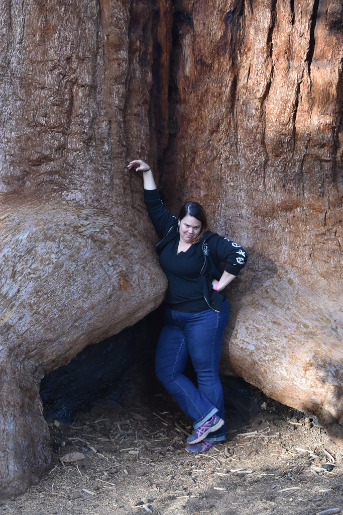 Trail of 100 GiantsHiking · ~13 min drivePhoto: reverendlukewarm — CC BY-SA 2.0 (via Flickr)
 Sherman PeakHiking · ~9 min drivePhoto: RuggyBearLA, CC BY 2.0 (via Flickr)
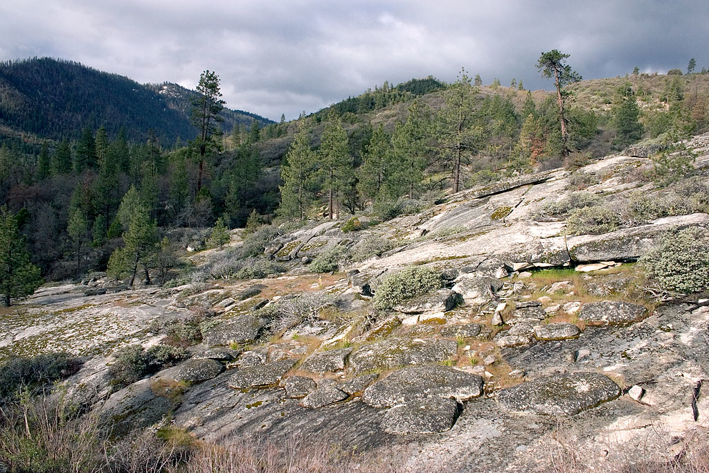 Speas RidgeHiking · ~8 min drivePhoto: David~O, CC BY 2.0 (via Flickr)
- Durwood CampHiking · ~8 min drive
- North Meadow Pass TrailHiking · ~9 min drive
Map and trail data © OpenStreetMap contributors
