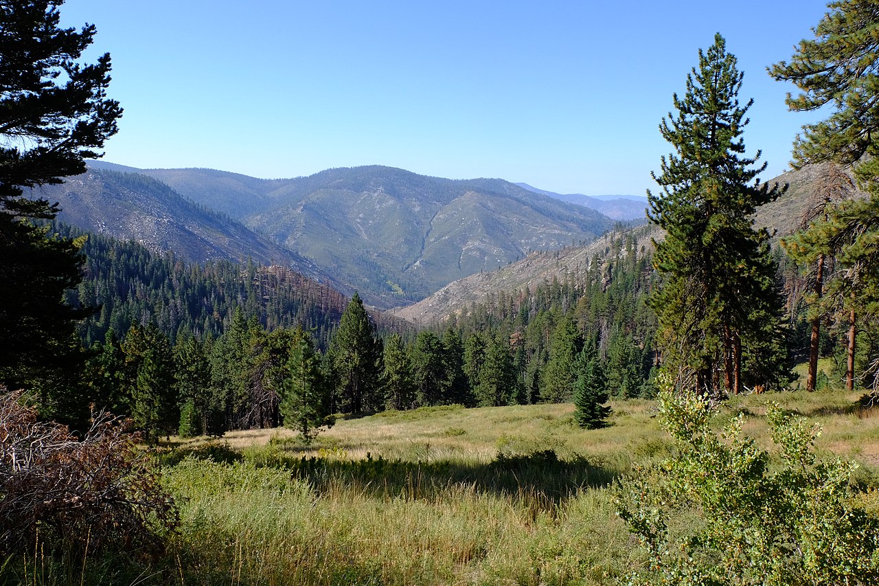
Osa Meadow
- 2.7 mi
- round trip
- 747 ft
- climb
- 9,109 ft
- high point
- Out and back
- route
Is Osa Meadow open right now?
Alert in the area
The Forest Service lists 3 alerts for Inyo National Forest.
Help Halt Golden Mussel Invasion
Agency alert covering Inyo National Forest · USFS · Inyo National Forest
Ansel Adams and John Muir Wilderness Campfire Restrictions
Agency alert covering Inyo National Forest · Order 05-04-50-25-04 · USFS · Inyo National Forest
Golden Trout and Hoover Wilderness Campfire Restrictions
Agency alert covering Inyo National Forest · Order 05-04-50-25-05 · USFS · Inyo National Forest
As of · Source: USFS · Inyo National Forest. Agencies don't list every closure — check before you go.
Osa Meadow is a 2.7-mile out-and-back hike in the Golden Trout Wilderness, part of the Mt. Whitney Ranger District of Inyo National Forest in California. The Forest Service manages the land, and the trail is rated easy, with a one-way climb of about 750 feet from a low point of roughly 8,350 feet to a high of about 9,100 feet. The trail is natural-surfaced and allows horses. It is not an accessible route. Several other trails start within a tenth of a mile, including River Springs Trail, Casa Vieja Trail and Black Rock to Kern River Trail. Troy Meadow Campground sits about 9.5 miles away.
Local outfitters
- Big Willi Mountaineering Company30 mi away
Not on Roamze yet. Their page has how to reach them.
Keep exploring — more trails worth the drive
 Photo: Paul Mono, CC BY-SA 3.0 (via Wikimedia Commons)
Soda Creek
~6 min drive
5.02-mile out-and-back trail in California with 175 ft elevation gain.
 Photo: Moo.The.Cow, CC BY 2.0 (via Flickr)
Blackrock Mountain Trail
~6 min drive
16.7-mile out-and-back trail in California with 2,901 ft elevation gain and loss.
HIKE
Casa Vieja Trail
Next door
4.1-mile out-and-back trail in California with 876 ft elevation gain and loss.
HIKE
Snake Creek
~2 min drive
3.38-mile out-and-back trail in California with 274 ft gain.
Photo: Moo.The.Cow, CC BY 2.0 (via Flickr)Fish Creek
~7 min drive
6.20-mile out-and-back trail in California with 380 ft gain.
HIKE
BLACKROCK MOUNTAIN
~4 min drive
16.9-mile out-and-back trail in California with 3,526 ft elevation gain and loss, reaching 9,261 ft.
HIKE
CASA-BIG DRY MDW CUTOFF
~1 min drive
1.34-mile out-and-back trail in California with 367 ft elevation gain and loss.
HIKE
Smith Meadow
~3 min drive
5.40-mile out-and-back trail in California with 72 ft of elevation gain.
HIKE
Black Rock to Kern River Trail
Next door
6.18-mile out-and-back hike in California with 2,514 ft elevation gain/loss.
HIKE
CASA VIEJA CUTOFF
~3 min drive
2.04-mile out-and-back trail in California with 271 ft elevation gain and loss.
Also worth it near here