Mount Whitney Trailhead Campground
Campground
Campground · 0.7 mi from the trail
 Photo: Ken Lund — CC BY-SA 2.0 (via Flickr)
Alert in the area
The Forest Service lists 3 alerts for Inyo National Forest.
Help Halt Golden Mussel Invasion
Agency alert covering Inyo National Forest · USFS · Inyo National Forest
Ansel Adams and John Muir Wilderness Campfire Restrictions
Agency alert covering Inyo National Forest · Order 05-04-50-25-04 · USFS · Inyo National Forest
Golden Trout and Hoover Wilderness Campfire Restrictions
Agency alert covering Inyo National Forest · Order 05-04-50-25-05 · USFS · Inyo National Forest
As of · Source: USFS · Inyo National Forest. Agencies don't list every closure — check before you go.
North Fork Lone Pine Creek is a hard hike in the John Muir Wilderness, part of the Mt. Whitney Ranger District of Inyo National Forest in California. The route is a 6.7-mile out-and-back on a natural surface, and it is not an accessible trail. This is a big-mountain day. The climb gains about 3,300 feet one way, starting near 9,360 feet and topping out around 12,630 feet. Hikers return the same way they came, so the descent mirrors the long ascent. Expect to spend the entire outbound leg working uphill at high elevation. The Beach climbing area sits just 0.2 miles away, and Mount Carillon is about 0.6 miles off for another summit objective. For camping, Whitney Trailhead Walk In Campground is about 0.7 miles away, and Lone Pine Group Campground is about a mile away.
Mount Whitney Trailhead Campground
Campground
Whitney Portal Store
Restaurant
Kern Hot Spring
Hot spring
Places © OpenStreetMap contributors
More in Silver CityNot on Roamze yet. Their page has how to reach them.
 The BeachRock climbingPhoto: GSEC, CC BY 2.0 (via Flickr)0.2 mi
 Mount CarillonHikingPhoto: Seth Tisue, CC BY-SA 2.0 (via Flickr)0.6 miMount YoungHikingPhoto: Seth Tisue, CC BY-SA 2.0 (via Flickr)0.6 miMount MorgensonHikingPhoto: Seth Tisue, CC BY-SA 2.0 (via Flickr)0.6 mi
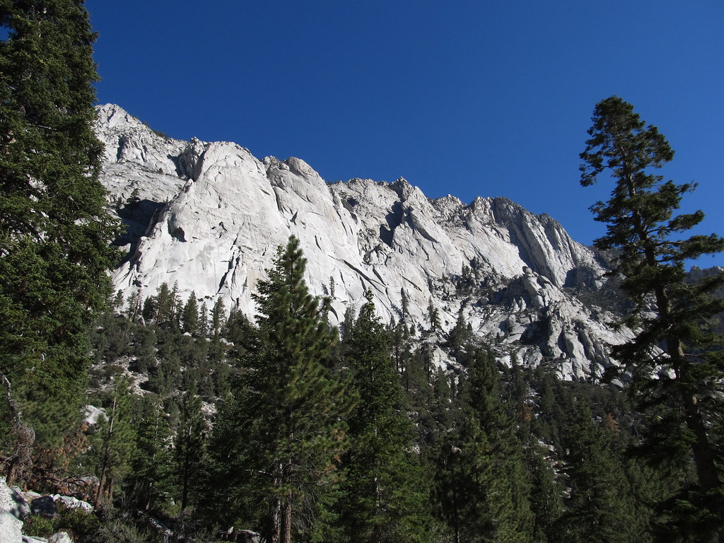 Whitney Trailhead Walk In CampgroundCampingPhoto: Ken Lund — CC BY-SA 2.0 (via Flickr)0.7 mi
Source: Roamze catalog (indexable pages within 10 miles, PostGIS distance)
Mount McAdieHiking · Next doorPhoto: Seth Tisue, CC BY-SA 2.0 (via Flickr) Meysan LakesHiking · ~2 min drivePhoto: inkknife_2000 (7.5 million views +), CC BY-SA 2.0 (via Wikimedia Commons)
 Soldier LakeHiking · ~11 min drivePhoto: NPS staff, Public domain (via Wikimedia Commons)
 Rock CreekHiking · ~13 min drivePhoto: Matt Lavin, CC BY-SA 2.0 (via Flickr)Mount MuirHiking · Next doorPhoto: Seth Tisue, CC BY-SA 2.0 (via Flickr)
 Crabtree LakesHiking · ~10 min drivePhoto: Matt Lavin, CC BY-SA 2.0 (via Flickr)
 New Army PassHiking · ~13 min drivePhoto: kalestews, CC BY 2.0 (via Flickr)
 Cottonwood PassHiking · ~13 min drivePhoto: Jesse Wagstaff, CC BY 2.0 (via Flickr)Mount YoungHiking · Next doorPhoto: Seth Tisue, CC BY-SA 2.0 (via Flickr)
 Old Army PassHiking · ~11 min drivePhoto: Matt Lavin, CC BY-SA 2.0 (via Flickr)
Also worth it near here
The BeachRock climbing · Next doorPhoto: GSEC, CC BY 2.0 (via Flickr)Whitney Trailhead Walk In CampgroundCamping · ~1 min drivePhoto: Ken Lund — CC BY-SA 2.0 (via Flickr) Mount RussellSummit · ~4 min drivePhoto: Will Beback at en.wikipedia, CC BY-SA 3.0 (via Wikimedia Commons)
