Trail Camp
Campground
Campground · 5.3 mi from the trail
 Photo: Matt Lavin, CC BY-SA 2.0 (via Flickr)
No closures listed
The National Park Service lists no closures for Sequoia National Park.
As of · Source: NPS · Sequoia National Park. Agencies don't list every closure — check before you go.
Rock Creek is a 7.3-mile out-and-back hike in California's Sequoia National Park, within the Sequoia-Kings Canyon Wilderness. The route rises from about 9,500 feet to a high point of 10,925 feet, with a total elevation gain of 1,390 feet. The National Park Service manages the land, and the hike is rated moderate. The trail starts close to Rock Creek Lake, which sits just 0.1 mile away. Funston Lake and Miter Basin are both within about 2.3 miles. For climbers, the Whitney & Surrounding Peaks area is roughly 5.8 miles off, and Whitney Trailhead Walk In Campground is about 7.8 miles away.
Trail Camp
Campground
Whitney Portal Store
Restaurant
Kern Hot Spring
Hot spring
Places © OpenStreetMap contributors
More in Silver CityNot on Roamze yet. Their page has how to reach them.
Rock Creek LakeHikingPhoto: Matt Lavin, CC BY-SA 2.0 (via Flickr)0.1 mi Miter BasinHikingPhoto: NPS staff, Public domain (via Wikimedia Commons)2.3 mi
 Whitney & Surrounding PeaksRock climbingPhoto: GSEC, CC BY 2.0 (via Flickr)5.8 mi
 Mt. WhitneyRock climbingPhoto: Moo.The.Cow, CC BY 2.0 (via Flickr)6 mi
 Lone Pine AreaRock climbingPhoto: Jesse Wagstaff, CC BY 2.0 (via Flickr)6.4 mi
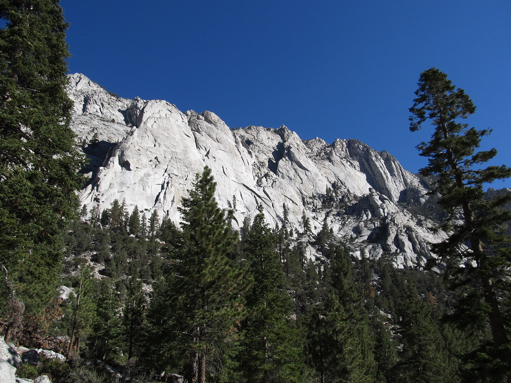 Whitney Trailhead Walk In CampgroundCampingPhoto: Ken Lund — CC BY-SA 2.0 (via Flickr)7.8 mi
Source: Roamze catalog (indexable pages within 10 miles, PostGIS distance)
Miter BasinHiking · ~4 min drivePhoto: NPS staff, Public domain (via Wikimedia Commons)Soldier LakeHiking · ~5 min drivePhoto: NPS staff, Public domain (via Wikimedia Commons) Cottonwood PassHiking · ~5 min drivePhoto: Jesse Wagstaff, CC BY 2.0 (via Flickr)
 Mount WhitneyHiking · ~9 min drivePhoto: Ken Lund from Reno, Nevada, USA, CC BY-SA 2.0 (via Wikimedia Commons)
 Crabtree - Rock CreekHiking · ~4 min drivePhoto: Matt Lavin, CC BY-SA 2.0 (via Flickr)
 Little Whitney to Big Whitney Meadow TrailHiking · ~8 min drivePhoto: danhurt, CC BY-SA 2.0 (via Flickr)
 Siberian Pass TrailHiking · ~8 min drivePhoto: danhurt, CC BY-SA 2.0 (via Flickr)
 Mount CarillonHiking · ~13 min drivePhoto: Seth Tisue, CC BY-SA 2.0 (via Flickr)
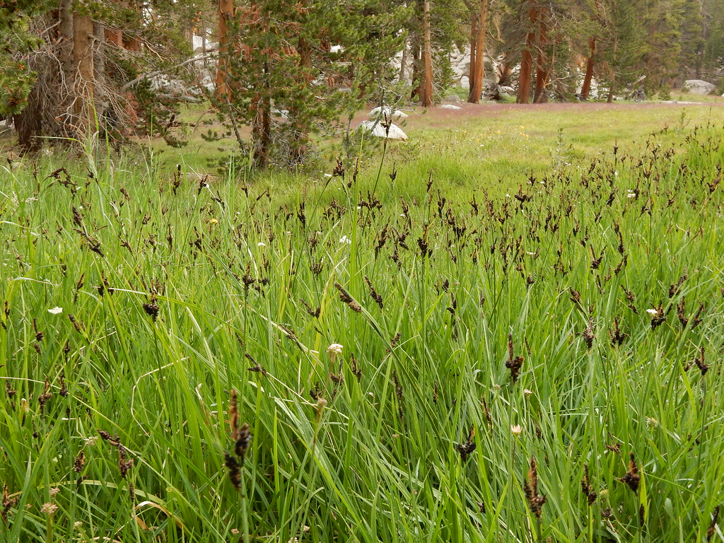 Upper Rock CreekHiking · ~5 min drivePhoto: Matt Lavin, CC BY-SA 2.0 (via Flickr)Siberian Pass TrailHiking · ~8 min drivePhoto: danhurt, CC BY-SA 2.0 (via Flickr)

