Nadeau Trail
- 6.5 mi
- round trip
- 986 ft
- climb
- 2,410 ft
- high point
- Out and back
- route
- Nov–Apr
- best months
Nadeau Trail is a hard hike in California's State Department of Land, an out-and-back route that reaches a high point of 2,410 feet from a low of 1,874 feet. The climb is front-loaded, with the steepest stretch at about 0.33 miles from the trailhead, where the grade reaches 8%, and the total gain of 986 feet is matched by an equal descent on the way back. The trail is about 13 miles long and takes roughly five hours. Spring and fall are the most comfortable times to go. At the nearby Trona weather station, typical averages run from highs around 81°F in April to 86°F in October, while summer highs climb into the 100s. Nearby, the Pack Trail and China Wall Trail both lie about 7 miles away.
Local outfitters
- Big Willi Mountaineering Company49 mi away
Not on Roamze yet. Their page has how to reach them.
Source: Roamze catalog (indexable pages within 10 miles, PostGIS distance)
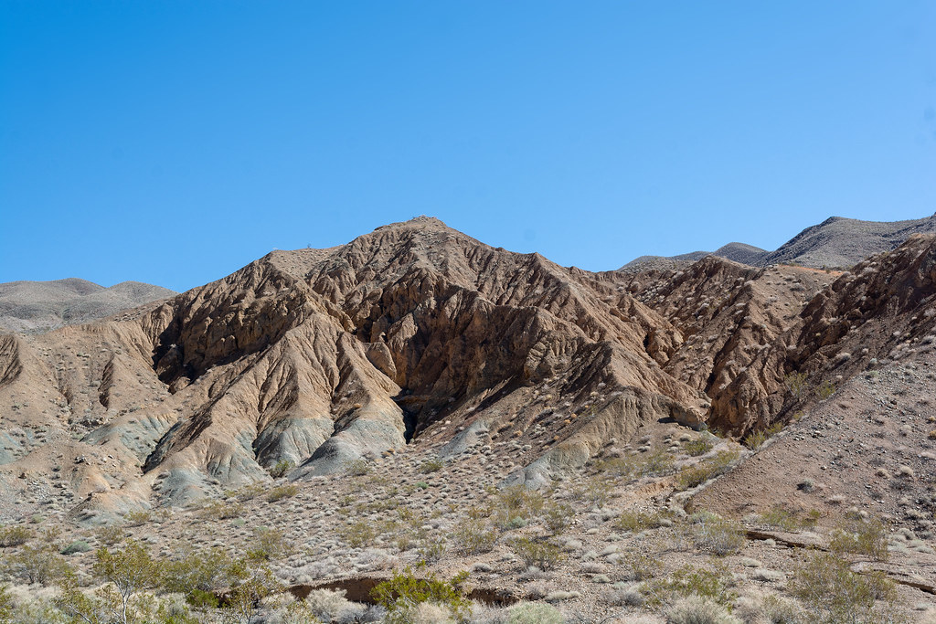 Nemo CanyonHiking · ~19 min drivePhoto: RuggyBearLA, CC BY 2.0 (via Flickr)
- Darwin FallsHiking · ~25 min drive
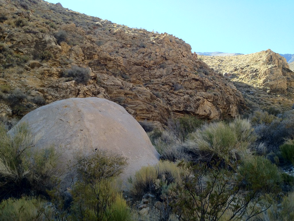 Hungry Bill's RanchHiking · ~37 min drivePhoto: stevelyon, CC BY-SA 2.0 (via Flickr)
 Telephone CanyonHiking · ~44 min drivePhoto: GSEC, CC BY 2.0 (via Flickr)
 Nadeau TrailHiking · ~21 min drivePhoto: Juhele_CZ, Public Domain Dedication (CC0) (via Flickr)
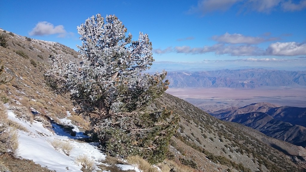 X-country route to Rogers PeakHiking · ~30 min drivePhoto: theforestprimeval, CC BY-SA 2.0 (via Flickr)
- Fish Canyon Escape TrailHiking · ~33 min drive
 Mosaic Canyon TrailHiking · ~55 min drivePhoto: Greg Willis from Denver, CO, usa, CC BY-SA 2.0 (via Wikimedia Commons)
 Surprise Canyon hiking routeHiking · ~21 min drivePhoto: Roebot, CC BY-SA 2.0 (via Flickr)
 Fossil Falls TrailHiking · ~54 min drivePhoto: Alexander Hatley, CC BY 2.0 (via Flickr)
Best time to visit Nadeau Trail
Best months: November–April. Best months have typical highs of 55–85 °F, lows of 30 °F or warmer (32 °F where the station doesn't record snow), at most one snowy day and no more than 12 wet days.
Jan
60° / 35°
3 wet
Feb
66° / 39°
3 wet
Mar
73° / 45°
2 wet
Apr
81° / 51°
1 wet
May
90° / 59°
1 wet
Jun
100° / 68°
0 wet
Jul
107° / 74°
1 wet
Aug
106° / 74°
1 wet
Sep
99° / 67°
1 wet
Oct
86° / 55°
1 wet
Nov
71° / 42°
1 wet
Dec
60° / 34°
2 wet
Typical high / low (°F) and days with rain or snow, 1991–2020. Measured at Trona, CA, 26.4 mi away at 1,695 ft. The station sits about 700 ft lower than this place, so expect it a little cooler here. Source: NOAA NCEI U.S. Climate Normals 1991–2020.
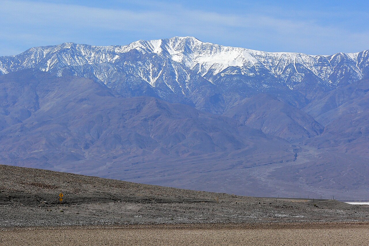
Map and trail data © OpenStreetMap contributors
