Fish Canyon Escape Trail
- 8.2 mi
- round trip
- 3,306 ft
- climb
- 3,050 ft
- high point
- Out and back
- route
- Nov–Apr
- best months
Fish Canyon Escape Trail is an out-and-back hike in California's Ridgecrest Field Office, managed by the Bureau of Land Management. The route covers about 16.4 miles, with a total elevation gain of 3,306 feet. The trail's high point reaches 3,050 feet, and the climb is steady, with the steepest stretch around the 5-mile mark, where the grade reaches 20 percent. Spring is the most comfortable time to go. Typical averages from the nearby Trona weather station, which sits well below the trail, run to highs of about 73°F in March and 81°F in April, with the hottest months peaking near 107°F in July and August. Winter brings highs around 60°F and the fewest wet days of the year. The trip takes about 7 hours. The trail starts at roughly 1,941 feet and descends back to that point, so plan for a full day on foot.
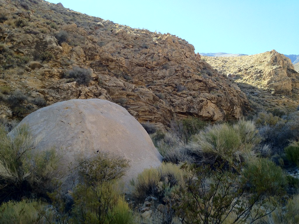
 Surprise Canyon hiking routeHiking · ~26 min drivePhoto: Roebot, CC BY-SA 2.0 (via Flickr)
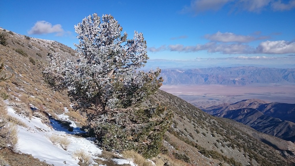
 Hungry Bill's RanchHiking · ~30 min drivePhoto: stevelyon, CC BY-SA 2.0 (via Flickr)
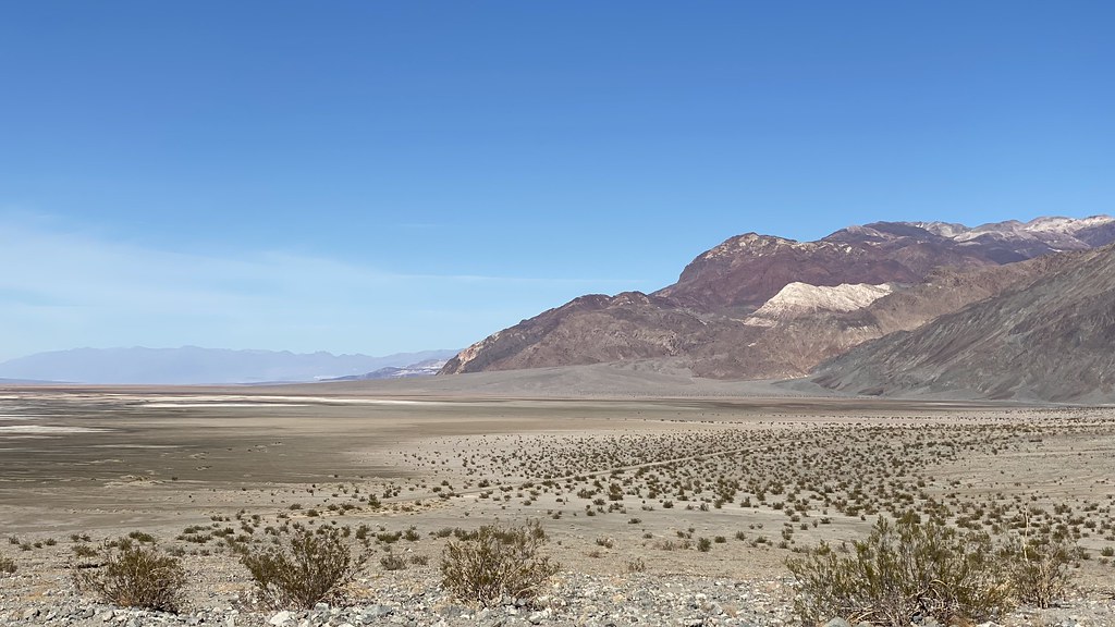
 X-country route to Rogers PeakHiking · ~39 min drivePhoto: theforestprimeval, CC BY-SA 2.0 (via Flickr)
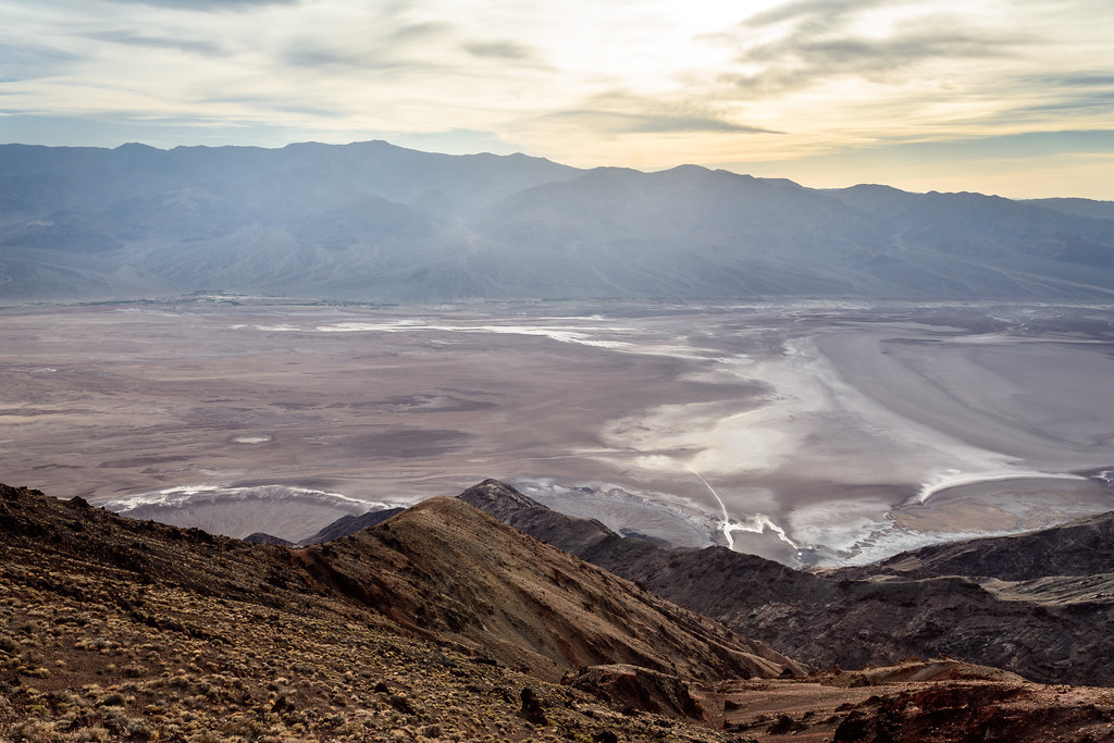
 Sidewinder CanyonHiking · ~50 min drivePhoto: lamblukas, CC BY 2.0 (via Flickr)
 Dantes PeakHiking · ~1h 1m drivePhoto: dconvertini, CC BY-SA 2.0 (via Flickr)
- Telescope PeakHiking · ~34 min drive
- Hanaupah Canyon hiking routeHiking · ~37 min drive
- Darwin FallsHiking · ~58 min drive
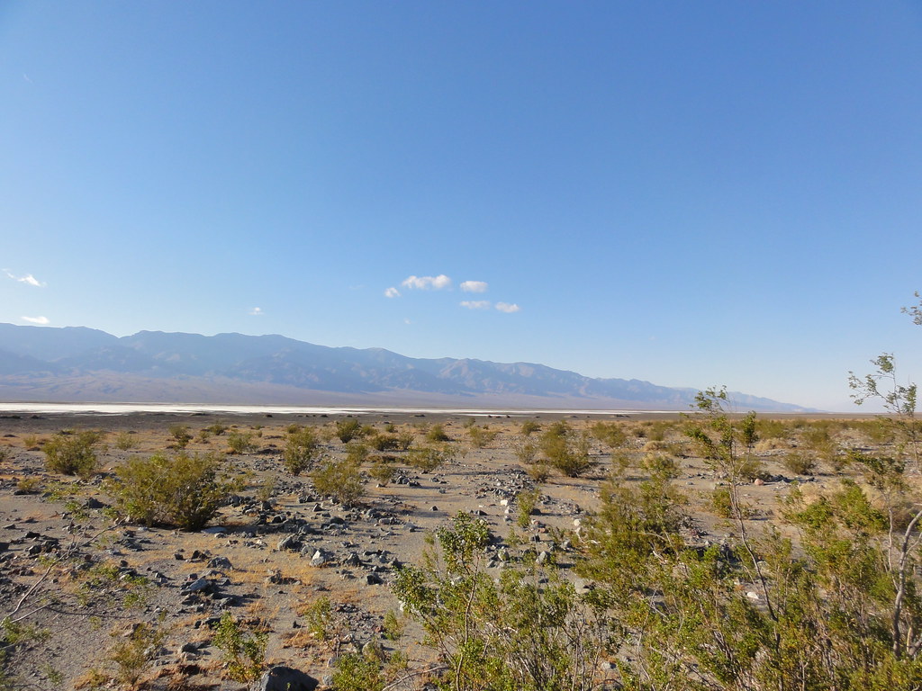 Willow CanyonHiking · ~50 min drivePhoto: inazakira, CC BY-SA 2.0 (via Flickr)
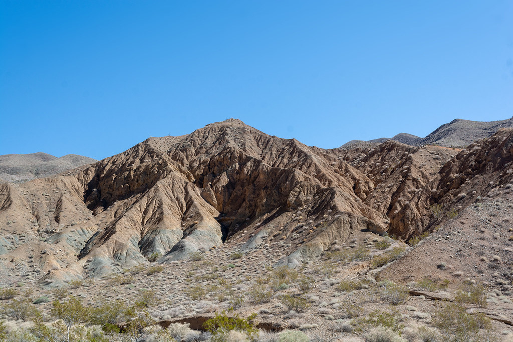 Nemo CanyonHiking · ~42 min drivePhoto: RuggyBearLA, CC BY 2.0 (via Flickr)
Also worth it near here
Best time to visit Fish Canyon Escape Trail
Best months: November–April. Best months have typical highs of 55–85 °F, lows of 30 °F or warmer (32 °F where the station doesn't record snow), at most one snowy day and no more than 12 wet days.
Jan
60° / 35°
3 wet
Feb
66° / 39°
3 wet
Mar
73° / 45°
2 wet
Apr
81° / 51°
1 wet
May
90° / 59°
1 wet
Jun
100° / 68°
0 wet
Jul
107° / 74°
1 wet
Aug
106° / 74°
1 wet
Sep
99° / 67°
1 wet
Oct
86° / 55°
1 wet
Nov
71° / 42°
1 wet
Dec
60° / 34°
2 wet
Typical high / low (°F) and days with rain or snow, 1991–2020. Measured at Trona, CA, 13.4 mi away at 1,695 ft. The station sits about 1,400 ft lower than this place, so expect it a little cooler here. Source: NOAA NCEI U.S. Climate Normals 1991–2020.
Map and trail data © OpenStreetMap contributors
