Nadeau Trail
 Photo: Juhele_CZ, Public Domain Dedication (CC0) (via Flickr)
- 6.4 mi
- round trip
- 1,372 ft
- climb
- 2,497 ft
- high point
- Out and back
- route
- Mar–May, Oct–Nov
- best months
Nadeau Trail is a hard out-and-back hike of about 13 miles on Bureau of Land Management land in the Ridgecrest Field Office in California, roughly 6 miles from the town of Ridgecrest. The route starts at an elevation of about 2,276 feet and climbs to a high point of about 2,497 feet before descending back to the start. Spring and fall are the most comfortable times to go. Typical averages from a nearby weather station in Haiwee put May highs around 78°F and October highs around 74°F, while July highs reach about 94°F and winter nights drop to around 27°F. That station sits about 1,300 feet lower than the trail, so temperatures on the route run cooler. The hike takes about five hours to complete. Near the trail are the China Wall Trail, about 5 miles away, and the Pack Trail, about 5.3 miles away, along with Darwin Falls, about 6.6 miles off.
Local outfitters
- Big Willi Mountaineering Company42 mi away
Not on Roamze yet. Their page has how to reach them.
- China Wall TrailHiking5.2 mi
- Pack TrailHiking5.3 mi
 Darwin FallsHikingPhoto: NPS / public domain6.6 mi
Source: Roamze catalog (indexable pages within 10 miles, PostGIS distance)
- Darwin FallsHiking · ~11 min drive
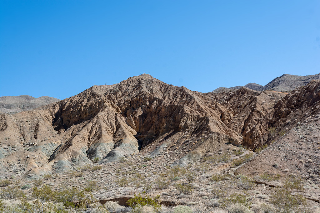 Nemo CanyonHiking · ~19 min drivePhoto: RuggyBearLA, CC BY 2.0 (via Flickr)
 Telephone CanyonHiking · ~28 min drivePhoto: GSEC, CC BY 2.0 (via Flickr)
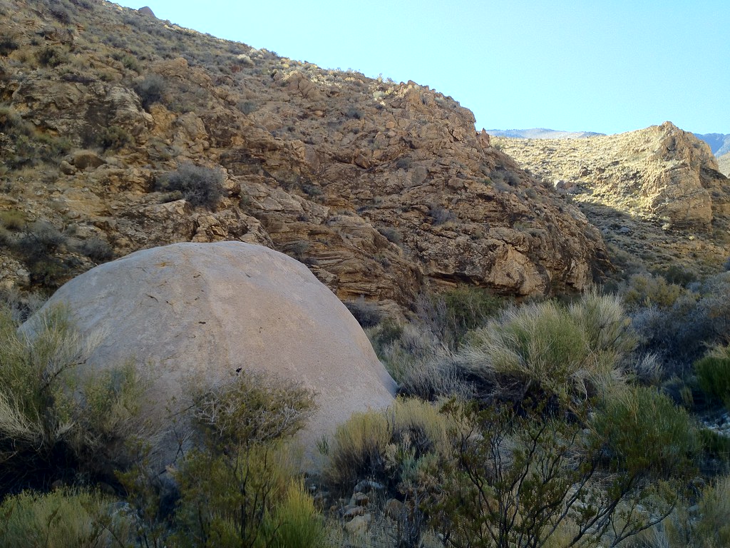 Hungry Bill's RanchHiking · ~47 min drivePhoto: stevelyon, CC BY-SA 2.0 (via Flickr)
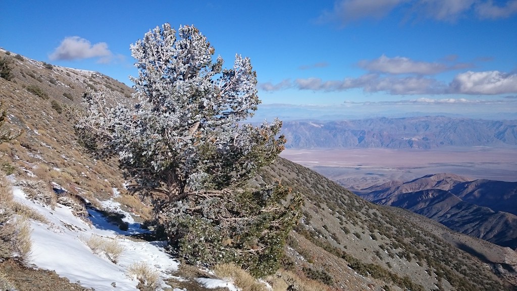 X-country route to Rogers PeakHiking · ~33 min drivePhoto: theforestprimeval, CC BY-SA 2.0 (via Flickr)
 Upper Marble Canyon TrailHiking · ~31 min drivePhoto: ilya_ktsn, CC BY 2.0 (via Flickr)
 Mosaic Canyon TrailHiking · ~39 min drivePhoto: Greg Willis from Denver, CO, usa, CC BY-SA 2.0 (via Wikimedia Commons)
- Cottonwood Marble Canyon TrailHiking · ~28 min drive
 Mesquite Flat DunesHiking · ~44 min drivePhoto: Juhele_CZ, Public Domain Dedication (CC0) (via Flickr)
 Upper Trail CanyonHiking · ~33 min drivePhoto: GSEC, CC BY 2.0 (via Flickr)
Best time to visit Nadeau Trail
Best months: March–May and October–November. Best months have typical highs of 55–85 °F, lows of 30 °F or warmer (32 °F where the station doesn't record snow), at most one snowy day and no more than 12 wet days.
Jan
51° / 27°
4 wet
Feb
55° / 29°
4 wet
Mar
62° / 34°
3 wet
Apr
69° / 39°
2 wet
May
78° / 47°
2 wet
Jun
89° / 56°
1 wet
Jul
94° / 62°
1 wet
Aug
93° / 61°
1 wet
Sep
86° / 54°
1 wet
Oct
74° / 43°
1 wet
Nov
60° / 33°
2 wet
Dec
50° / 26°
4 wet
Typical high / low (°F) and days with rain or snow, 1991–2020. Measured at Haiwee, CA, 32.9 mi away at 3,825 ft. The station sits about 1,300 ft higher than this place, so expect it a little warmer here. This station doesn't record snowfall. Source: NOAA NCEI U.S. Climate Normals 1991–2020.
Map and trail data © OpenStreetMap contributors
