Mount Whitney Trailhead Campground
Campground
Campground · < 0.1 mi from the trail
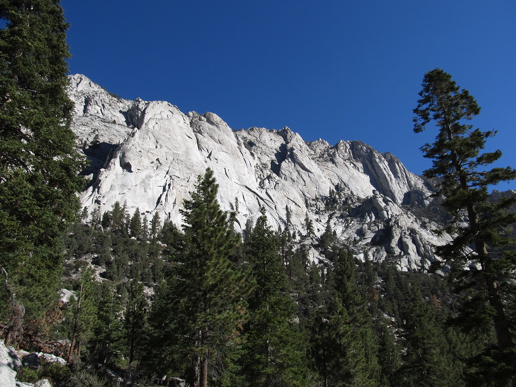
 Photo: daveynin — CC BY 2.0 (via Flickr)
Mount Whitney (Whitney Zone) · overnight
Reserve on Recreation.govAlert in the area
The Forest Service lists 3 alerts for Inyo National Forest.
Help Halt Golden Mussel Invasion
Agency alert covering Inyo National Forest · USFS · Inyo National Forest
Ansel Adams and John Muir Wilderness Campfire Restrictions
Agency alert covering Inyo National Forest · Order 05-04-50-25-04 · USFS · Inyo National Forest
Golden Trout and Hoover Wilderness Campfire Restrictions
Agency alert covering Inyo National Forest · Order 05-04-50-25-05 · USFS · Inyo National Forest
As of · Source: USFS · Inyo National Forest. Agencies don't list every closure — check before you go.
Mount Whitney is a classic out-and-back peak in California's Inyo National Forest, rising to 14,500 feet in the Mt. Whitney Ranger District. The hike is long and steep, with a one-way distance of about 21.4 miles and a total elevation gain of roughly 7,332 feet. The climb is rated expert, and the trip takes about 11 hours to complete. The trailhead sits within the Whitney Trailhead Walk In Campground, about a tenth of a mile from the summit. That campground is the starting point for most people, and Lone Pine Group Campground lies about 0.3 miles away. Climbers will find the Candlelight Buttress and Poolhall Wall climbing areas within a tenth of a mile of the trail. The route is a single, continuous climb to the top and back down, with the high point at the summit. Because the trail is so long and the elevation gain is so high, it is a full-day commitment. Plan for food, water and gear for the whole trip.
Mount Whitney Trailhead Campground
Campground
Whitney Portal Store
Restaurant
Kern Hot Spring
Hot spring
Places © OpenStreetMap contributors
More in Silver CityNot on Roamze yet. Their page has how to reach them.
Daily highs and lows, wind and the chance of precipitation at the summit and route start for the next 7 days, from the Open-Meteo model.
 Whitney Trailhead Walk In CampgroundCampingPhoto: Ken Lund — CC BY-SA 2.0 (via Flickr)0.1 mi
 Mount CarillonHikingPhoto: Seth Tisue, CC BY-SA 2.0 (via Flickr)0.1 miMount YoungHikingPhoto: Seth Tisue, CC BY-SA 2.0 (via Flickr)0.1 miMount MorgensonHikingPhoto: Seth Tisue, CC BY-SA 2.0 (via Flickr)0.1 mi
Source: Roamze catalog (indexable pages within 10 miles, PostGIS distance)
Mount McAdieHiking · Next doorPhoto: Seth Tisue, CC BY-SA 2.0 (via Flickr) Meysan LakesHiking · Next doorPhoto: inkknife_2000 (7.5 million views +), CC BY-SA 2.0 (via Wikimedia Commons)
 North Fork Lone Pine CreekHiking · ~1 min drivePhoto: Ken Lund — CC BY-SA 2.0 (via Flickr)
 Cottonwood PassHiking · ~13 min drivePhoto: Jesse Wagstaff, CC BY 2.0 (via Flickr)Mount YoungHiking · Next doorPhoto: Seth Tisue, CC BY-SA 2.0 (via Flickr)
 Old Army PassHiking · ~11 min drivePhoto: Matt Lavin, CC BY-SA 2.0 (via Flickr)
 Soldier LakeHiking · ~11 min drivePhoto: NPS staff, Public domain (via Wikimedia Commons)Mount MorgensonHiking · Next doorPhoto: Seth Tisue, CC BY-SA 2.0 (via Flickr)
 Crabtree LakesHiking · ~11 min drivePhoto: Matt Lavin, CC BY-SA 2.0 (via Flickr)
Also worth it near here
Whitney Trailhead Walk In CampgroundCamping · Next doorPhoto: Ken Lund — CC BY-SA 2.0 (via Flickr) Whitney Portal ButtressRock climbing · Next doorPhoto: Ken Lund, CC BY-SA 2.0 (via Flickr)
 Lone Pine PeakSummit · ~3 min drivePhoto: UFGS Region 5, CC BY 2.0 (via Wikimedia Commons)
Next lottery expected to open Monday, February 1
For May 1 – November 1, 2027. Recreation.gov hasn't announced this date yet.
One lottery in February for day hikes and overnight trips from May through October. Dates nobody claims go on sale in late April.
Apply on Recreation.gov · Dates checked Oct 22
About 21.4 mi round trip from Whitney Portal.
About 7,332 ft of climbing round trip.
It is rated expert.
Whitney Portal.
2: Mount Whitney and Mount Whitney.
© openrouteservice.org by HeiGIT | Map data © OpenStreetMap contributors
