Fir Glade Trail
- 3.4 mi
- round trip
- 2,873 ft
- climb
- 5,959 ft
- high point
- Out and back
- route
Is Fir Glade Trail open right now?
Closure in the area
There's a closure order in Siskiyou Mountains Ranger District. It doesn't name Fir Glade Trail, so check the source for the area it covers.
Ashland Municipal Watershed Camping and Fire Prohibition
Agency closure covering Siskiyou Mountains Ranger District · Order 06-10-20-23-52 · USFS · Siskiyou Mountains Ranger District
As of · Source: USFS · Siskiyou Mountains Ranger District. Agencies don't list every closure — check before you go.
Fir Glade Trail is a hard hike in California's Red Buttes Wilderness, part of the Siskiyou Mountains Ranger District of the Rogue River-Siskiyou National Forests. The trail is an out-and-back route of about 6.8 miles, with a total elevation gain of 2,873 feet. The climb is front-loaded, and the steepest stretch comes at about 3 miles in, where the grade reaches 18 percent. The trail starts at an elevation of about 5,246 feet and reaches a high point of 5,959 feet. Because the route is out and back, the total gain and loss are both about 2,873 feet. Plan on about 3.5 hours for the trip. The trail lies within designated wilderness, and the Forest Service manages the surrounding land. The nearest neighbors are the Steve Fork Trail, about 0.8 miles away, and the Butte Fork Trail, about 1.5 miles away. Across the line in Oregon, the Hinkle Lake Trail is about 1.8 miles off, and the Applegate River offers paddling about 7.7 miles away.
Local outfitters
- Applegate Trail Rides16 mi away
- Huntfluent Guide Service31 mi away
Not on Roamze yet. Their page has how to reach them.
- Steve Fork TrailHiking0.8 mi
- Butte Fork TrailHiking1.5 mi
- Hinkle Lake TrailHiking1.8 mi
- Thompson CreekCanoeing4.6 mi
- Bolan Mountain LookoutCamping7.6 mi
- Bolan Lake CgCamping7.6 mi
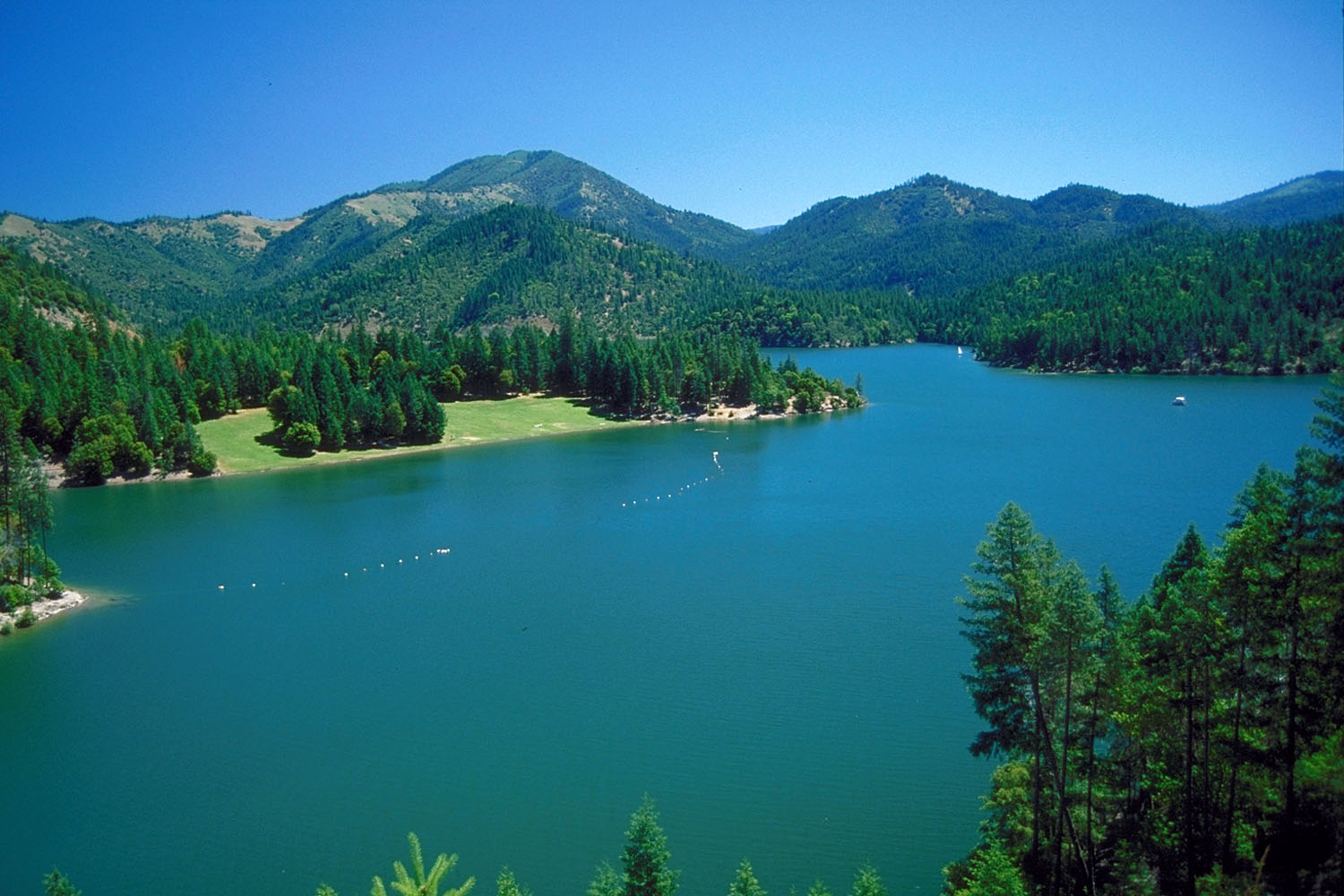 Applegate RiverCanoeingPhoto: Bill Johnson, U.S. Army Corps of Engineers, Public domain (via Wikimedia Commons)7.7 mi
- Watkins CampgroundCamping8.6 mi
Source: Roamze catalog (indexable pages within 10 miles, PostGIS distance)
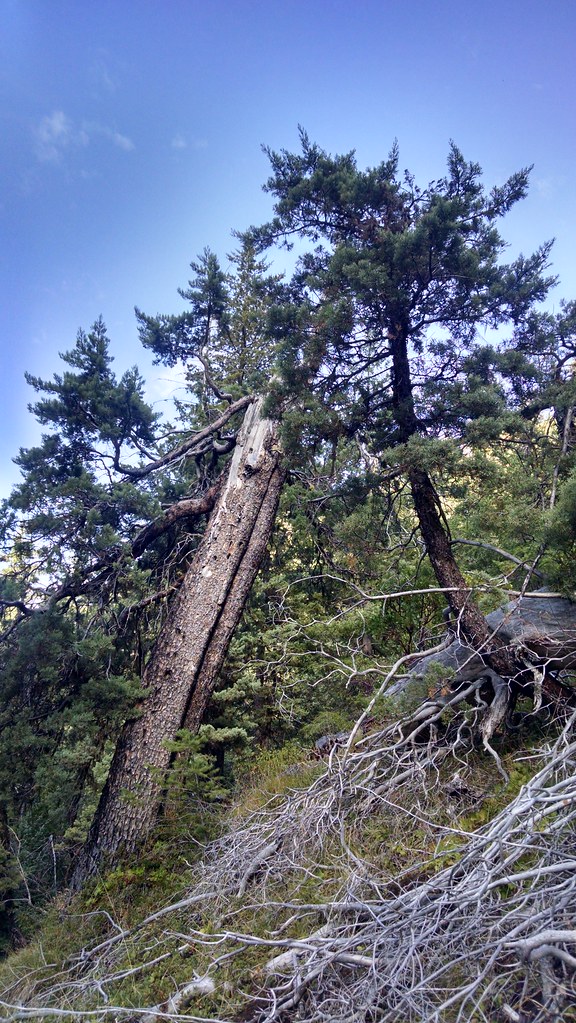 Miller LakeHiking · ~10 min drivePhoto: theforestprimeval, CC BY-SA 2.0 (via Flickr)
 Kings SaddleHiking · ~12 min drivePhoto: Forest Service Pacific Northwest Region, Public Domain Mark (via Flickr)
 Cliff Nature TrailHiking · ~15 min drivePhoto: James Wellington, CC BY 2.0 (via Flickr)
- Boundary TrailHiking · ~4 min drive
 Da-Ku-Be-Te-DeHiking · ~15 min drivePhoto: n.p.young, CC BY 3.0 (via Wikimedia Commons)
- No Name TrailHiking · ~15 min drivePhoto: James Wellington, CC BY 2.0 (via Flickr)
- Butte Fork TrailHiking · ~3 min drive
- Horse Camp TrailHiking · ~14 min drive
 PayetteHiking · ~16 min drivePhoto: n.p.young, CC BY 3.0 (via Wikimedia Commons)
- Steve Fork TrailHiking · ~1 min drive
Map and trail data © OpenStreetMap contributors
