Copper Boat Ramp
- Mar–Jun, Sep–Nov
- best months
Is Copper Boat Ramp open right now?
Closure in the area
There's a closure order in Siskiyou Mountains Ranger District. It doesn't name Copper Boat Ramp, so check the source for the area it covers.
Ashland Municipal Watershed Camping and Fire Prohibition
Agency closure covering Siskiyou Mountains Ranger District · Order 06-10-20-23-52 · USFS · Siskiyou Mountains Ranger District
As of · Source: USFS · Siskiyou Mountains Ranger District. Agencies don't list every closure — check before you go.
Copper Boat Ramp is a Forest Service boat launch in the Siskiyou Mountains Ranger District of the Rogue River-Siskiyou National Forests in southwest Oregon, about 15 miles from the town of Ruch. The ramp sits in a cluster of trails and campgrounds. Payette is a hike just 0.4 miles away, and Watkins Campground is 0.5 miles off. Tipsu Tyee Campground is about 1.4 miles away, and Carberry Creek, a canoeing spot, is roughly 2.4 miles from the ramp. For comfortable weather, aim for late spring or early fall. Typical averages from a nearby weather station in Ruch show May highs around 75°F and October highs around 72°F, while July and August average in the low 90s. Other paddling is close by, with the Applegate River about 2.6 miles away across the California line.
- Managed by
- Forest Service
 PayetteHikingPhoto: n.p.young, CC BY 3.0 (via Wikimedia Commons)0.4 mi
- Watkins CampgroundCamping0.5 mi
 Da-Ku-Be-Te-DeHikingPhoto: n.p.young, CC BY 3.0 (via Wikimedia Commons)0.6 mi
- Cut OffHikingPhoto: n.p.young, CC BY 3.0 (via Wikimedia Commons)1.2 mi
- Tipsu Tyee CampgroundCamping1.4 mi
- Harr Point CampgroundCamping1.9 mi
- Carberry CreekCanoeing2.4 mi
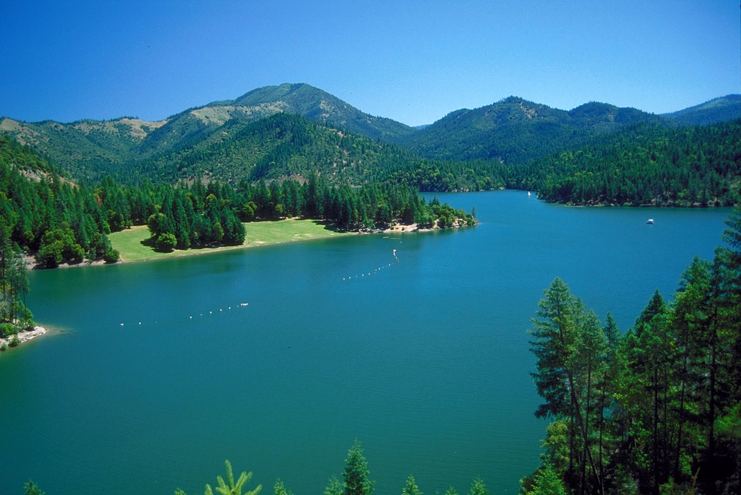 Applegate RiverCanoeingPhoto: Bill Johnson, U.S. Army Corps of Engineers, Public domain (via Wikimedia Commons)2.6 mi
Source: Roamze catalog (indexable pages within 10 miles, PostGIS distance)
- Applegate RiverCanoeing · ~5 min drivePhoto: Bill Johnson, U.S. Army Corps of Engineers, Public domain (via Wikimedia Commons)
- French Gulch Boating SiteBoat launch · ~5 min drive
- Sarah Totten CampgroundFloat trip · ~30 min drive
- HART-TISH PARK at APPLEGATE LAKEStand up paddleboarding · ~4 min drive
 Bear CreekCanoeing · ~42 min drivePhoto: ZabMilenko at English Wikipedia, Public domain (via Wikimedia Commons)
- Rocky Bar River AccessBoat launch · ~25 min drive
- Jackson Campground On The Applegate RiverStand up paddleboarding · ~12 min drive
- Carberry CreekCanoeing · ~4 min drive
- Seattle Creek Boating SiteBoat launch · ~26 min drive
- Seiad CreekCanoeing · ~19 min drive
Best time to visit Copper Boat Ramp
Best months: March–June and September–November. Best months have typical highs of 55–85 °F, lows of 30 °F or warmer (32 °F where the station doesn't record snow), at most one snowy day and no more than 12 wet days.
Jan
50° / 30°
Feb
55° / 31°
Mar
60° / 33°
Apr
65° / 36°
May
75° / 42°
Jun
82° / 47°
Jul
92° / 52°
Aug
91° / 51°
Sep
85° / 45°
Oct
72° / 38°
Nov
56° / 33°
Dec
49° / 30°
Typical high / low (°F) and days with rain or snow, 1991–2020. Measured at Ruch, OR, 14.4 mi away at 1,550 ft. This station doesn't record snowfall. Source: NOAA NCEI U.S. Climate Normals 1991–2020.
Closures we've recorded since August 2026
Stage 2 Public Use Fire Restrictions (Forest-wide)
Rogue River-Siskiyou National Forests · Order dated September 4, 2026; seen Sep 3, 2026 → lifted Oct 28, 2026 · Forest Service
Stage 3 Public Use Fire Restrictions (Forest-wide)
Rogue River-Siskiyou National Forests · Order dated July 17, 2026; seen Aug 23, 2026 → lifted Sep 3, 2026 · Forest Service

Map and trail data © OpenStreetMap contributors
