D J Trail
- 0.8 mi
- round trip
- 542 ft
- climb
- 3,185 ft
- high point
- Out and back
- route
- Mar–Jun, Sep–Nov
- best months
Caution today
Weather is marginal · OpenWeather · checked just now
D J Trail is a short, easy hike in California, about 3.3 miles from the town of Copco. The trail is an out-and-back route of about 1.6 miles, with a total climb of 542 feet and a high point of 3,185 feet. The climb is front-loaded, with the steepest stretch at about 0.27 miles from the start, where the grade reaches 22 percent. Late spring and early fall are the most comfortable times to go. Typical averages from a nearby weather station at Copco #1 Dam show May highs around 74°F and October highs around 70°F, while July and August average about 93°F. The Klamath River, about 3.9 miles away, offers canoeing. Across the state line in Oregon, Boccard Point Trail and Lone Pilot Trail are both within about 6 miles, and Jenny Creek, a paddling spot, is about 7.5 miles away.
Local outfitters
- Momentum River Expeditions20 mi away
- Ashland Family YMCA20 mi away
Not on Roamze yet. Their page has how to reach them.
 Klamath RiverCanoeingPhoto: Kid Cowboy, CC BY-SA 2.0 (via Wikimedia Commons)3.9 mi
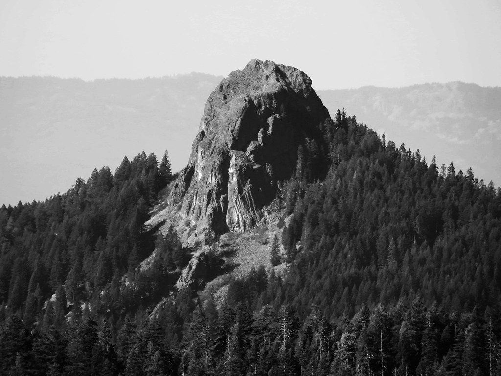 Boccard Point TrailHikingPhoto: BLM Oregon & Washington, CC BY-SA 2.0 (via Flickr)5.1 mi
 Lone Pilot TrailHikingPhoto: BLM Oregon & Washington, CC BY 2.0 (via Wikimedia Commons)5.6 mi
- Jenny CreekCanoeing7.5 mi
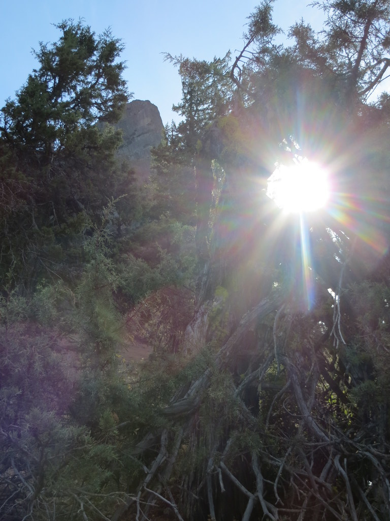 Pilot RockHikingPhoto: BLM Oregon & Washington, CC BY-SA 2.0 (via Flickr)7.8 mi
- Pct - Oregon Section BHikingPhoto: BLM Oregon & Washington, CC BY-SA 2.0 (via Flickr)7.9 mi
- Keene CreekCanoeing8.8 mi
- GreenspringsRock climbing9.7 mi
Source: Roamze catalog (indexable pages within 10 miles, PostGIS distance)
- Boccard Point TrailHiking · ~9 min drivePhoto: BLM Oregon & Washington, CC BY-SA 2.0 (via Flickr)
- Lone Pilot TrailHiking · ~10 min drivePhoto: BLM Oregon & Washington, CC BY 2.0 (via Wikimedia Commons)
- Pilot RockHiking · ~13 min drivePhoto: BLM Oregon & Washington, CC BY-SA 2.0 (via Flickr)
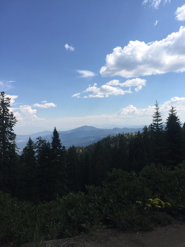 GROUSE CREEK NORDICHiking · ~27 min drivePhoto: zappowbang, CC BY-SA 2.0 (via Flickr)
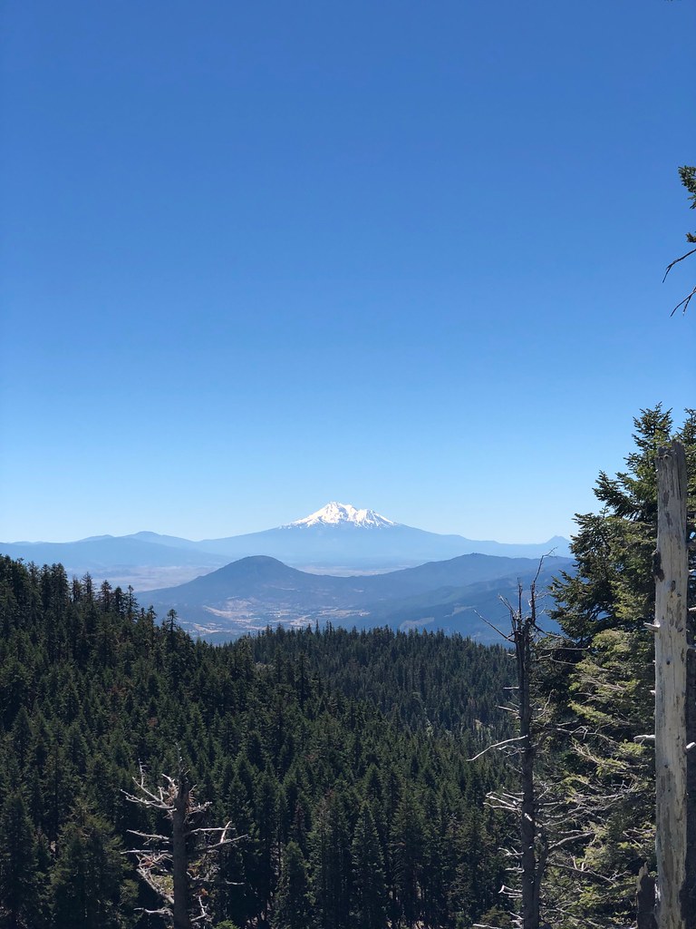 CREST LOOP NORDICHiking · ~25 min drivePhoto: zappowbang, CC BY-SA 2.0 (via Flickr)
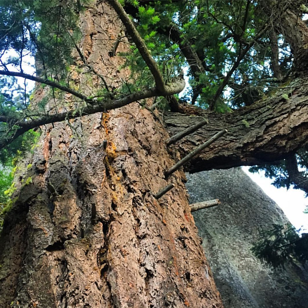 Pacific Crest National Scenic TrailHiking · ~19 min drivePhoto: gregor_y, CC BY-SA 2.0 (via Flickr)
- Green Springs Mountain LoopHiking · ~19 min drivePhoto: gregor_y, CC BY-SA 2.0 (via Flickr)
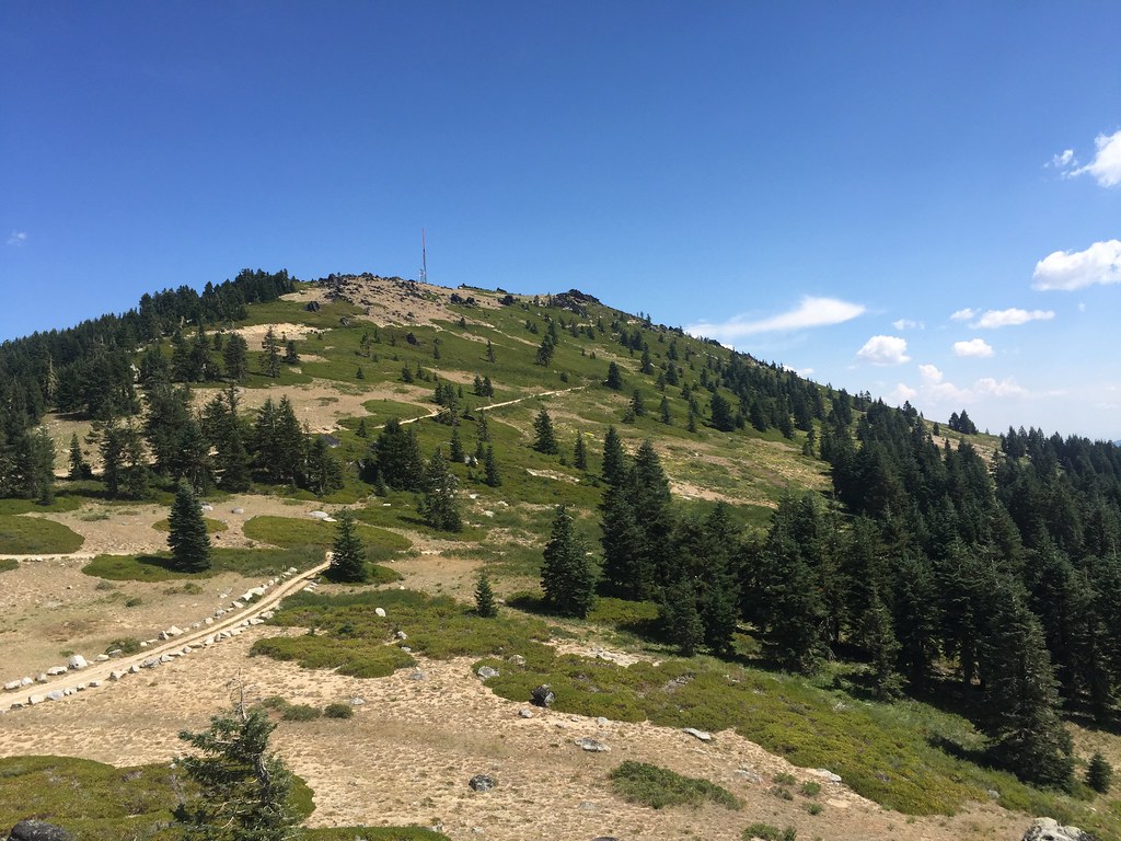 Split RockHiking · ~30 min drivePhoto: zappowbang, CC BY-SA 2.0 (via Flickr)
- SummitHiking · ~27 min drivePhoto: zappowbang, CC BY-SA 2.0 (via Flickr)
- Pct - Oregon Section BHiking · ~14 min drivePhoto: BLM Oregon & Washington, CC BY-SA 2.0 (via Flickr)
Also worth it near here
Best time to visit D J Trail
Best months: March–June and September–November. Best months have typical highs of 55–85 °F, lows of 30 °F or warmer (32 °F where the station doesn't record snow), at most one snowy day and no more than 12 wet days.
Jan
48° / 26°
13 wet
Feb
53° / 29°
11 wet
Mar
58° / 32°
12 wet
Apr
64° / 35°
10 wet
May
74° / 42°
8 wet
Jun
82° / 49°
4 wet
Jul
93° / 56°
2 wet
Aug
93° / 55°
2 wet
Sep
85° / 49°
3 wet
Oct
70° / 39°
6 wet
Nov
56° / 32°
11 wet
Dec
47° / 26°
13 wet
Typical high / low (°F) and days with rain or snow, 1991–2020. Measured at Copco #1 Dam, CA, 4.5 mi away at 2,703 ft. This station doesn't record snowfall. Source: NOAA NCEI U.S. Climate Normals 1991–2020.

Map and trail data © OpenStreetMap contributors
