Boundary Trail 4E50
 Photo: chloe_and_trevor, CC BY 4.0 (via Wikimedia Commons)
- 9.8 mi
- round trip
- 5,748 ft
- climb
- 5,569 ft
- high point
- Out and back
- route
Caution today
Agency alerts are in effect for this area; weather is marginal · USFS, OpenWeather · checked 6 h ago
Is Boundary Trail 4E50 open right now?
Alert in the area
The Forest Service lists an alert for Ukonom Ranger District.
Ishi Pishi River Area Use Restriction
Agency alert covering Ukonom Ranger District · Order 05-05-58-26-04 · USFS · Ukonom Ranger District
As of · Source: USFS · Ukonom Ranger District. Agencies don't list every closure — check before you go.
Boundary Trail 4E50 is a 19.7-mile out-and-back route in the Siskiyou Wilderness, part of the Ukonom Ranger District of Six Rivers National Forest in northern California. It is an expert-level hike with a total elevation gain of 5,748 feet, starting and ending at about 4,291 feet. The high point on the route reaches 5,569 feet, and the climb is steady throughout. The trail lies within designated wilderness, and the land is managed by the Forest Service. Plan on about nine and a half hours for the round trip. The Boundary Trail is about 1.9 miles away, and paddlers can find Eightmile Creek, Harrington Creek and Williams Creek within about 4 miles. Dillon Creek Campground, roughly 9 miles off, offers a place to stay.
Local outfitters
- Applegate Trail Rides48 mi away
Not on Roamze yet. Their page has how to reach them.
- Boundary TrailHiking1.9 mi
- Eightmile CreekCanoeing3.2 mi
- Harrington CreekCanoeing3.4 mi
- Williams CreekCanoeing3.7 mi
- Forks of Blue CreekHiking4.3 mi
- Bear WallowHiking4.7 mi
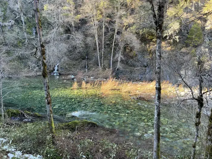 Dillon Creek CampgroundCampingPhoto: Recreation.gov (RIDB) / public domain8.9 mi
- DillonCamping9 mi
Source: Roamze catalog (indexable pages within 10 miles, PostGIS distance)
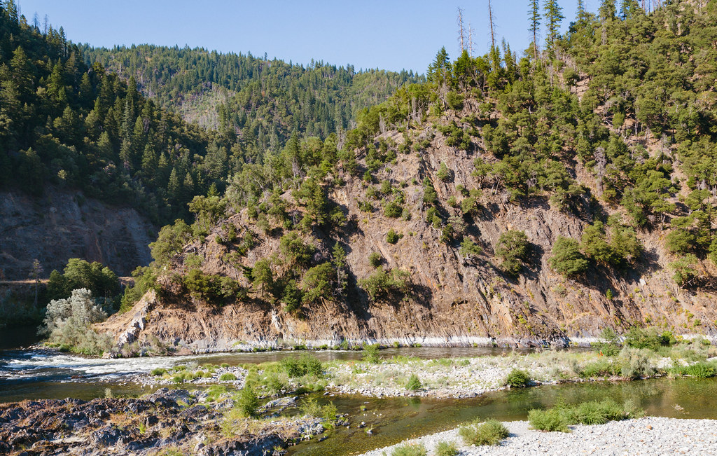 Dillon CreekHiking · ~15 min drivePhoto: Tony Webster, CC BY 2.0 (via Flickr)
 Doe FlatHiking · ~24 min drivePhoto: cm195902, CC BY 2.0 (via Flickr)
 Devil's PunchbowlHiking · ~25 min drivePhoto: Miguel Vieira from Walnut Creek, CA, USA, CC BY 2.0 (via Wikimedia Commons)
- Boundary TrailHiking · ~3 min drive
- Buck Lake (To Clear Cr.)Hiking · ~24 min drivePhoto: Miguel Vieira from Walnut Creek, CA, USA, CC BY 2.0 (via Wikimedia Commons)
- Buck LakeHiking · ~24 min drivePhoto: Miguel Vieira from Walnut Creek, CA, USA, CC BY 2.0 (via Wikimedia Commons)
- SUMMIT VALLEYHiking · ~11 min drive
- South Kelsey National Recreation TrailHiking · ~10 min drive
 Little Bald HillsHiking · ~29 min drivePhoto: BLUE • ǝnןq, CC BY 2.0 (via Flickr)
- ParadiseHiking · ~29 min drivePhoto: BLUE • ǝnןq, CC BY 2.0 (via Flickr)
Map and trail data © OpenStreetMap contributors
