Bingham Lake
- 1.0 mi
- round trip
- 357 ft
- climb
- 7,429 ft
- high point
- Out and back
- route
Is Bingham Lake open right now?
Alert in the area
The Forest Service lists 2 alerts for Klamath National Forest.
Temporarily closure of approximately 3.5 miles of National Forest System Roads 47N01
Agency alert covering Klamath National Forest · Order 05-05-00-26-08 · USFS · Klamath National Forest
Grayback Road Repairs
Agency alert covering Klamath National Forest · USFS · Klamath National Forest
As of · Source: USFS · Klamath National Forest. Agencies don't list every closure — check before you go.
Bingham Lake is an easy, out-and-back hike of about 2 miles in the Scott River Ranger District of Klamath National Forest in northern California. The trailhead is named Bingham Lake Trailhead, and the route rises from a low point of about 7,063 feet to a high of about 7,429 feet, with a total elevation gain of about 357 feet. The trail is a natural-surface route, and the Forest Service manages the land. It makes a straightforward outing for a day on foot in the forest, with the lake itself the destination. The closest neighbors are Sugar Lake, about 1.9 miles away, and Little Duck Lake, about 3 miles off. Carter Meadows Horse Group campground sits about 3.5 miles away, and paddlers can reach the East Fork South Fork Salmon River about 6.5 miles from the trailhead.
- Sugar LakeHiking1.9 mi
 Little Duck LakeHikingPhoto: theforestprimeval, CC BY-SA 2.0 (via Flickr)3 mi
- Sugar Lake TrailHiking3.1 mi
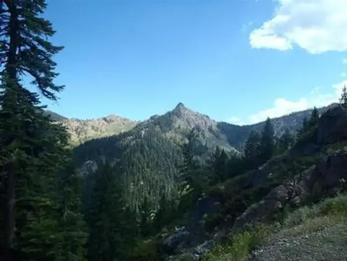 Carter Meadows Horse GroupCampingPhoto: Recreation.gov (RIDB) / public domain3.5 mi
- East Fork South Fork Salmon RiverCanoeing6.5 mi
- IdlewildCamping7.9 mi
- North Russian CreekCanoeing7.9 mi
- French CreekCanoeing8.2 mi
Source: Roamze catalog (indexable pages within 10 miles, PostGIS distance)
- Little Duck LakeHiking · ~5 min drivePhoto: theforestprimeval, CC BY-SA 2.0 (via Flickr)
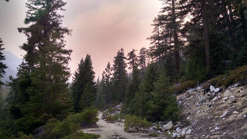 Eaton LakeHiking · ~6 min drivePhoto: theforestprimeval, CC BY-SA 2.0 (via Flickr)
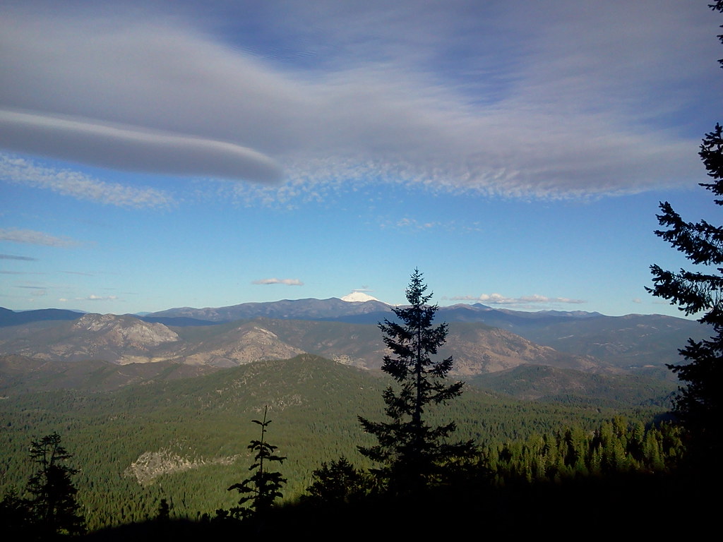 Duck LakeHiking · ~8 min drivePhoto: theforestprimeval, CC BY-SA 2.0 (via Flickr)
- Pacific Crest National Scenic TrailHiking · ~7 min drive
- HorseshoeHiking · ~6 min drivePhoto: theforestprimeval, CC BY-SA 2.0 (via Flickr)
 Horse Range Creek TrailHiking · ~7 min drivePhoto: Calaina, CC BY-SA 3.0 (via Wikimedia Commons)
- Long GulchHiking · ~6 min drive
 Horse Range TrailHiking · ~8 min drivePhoto: Calaina, CC BY-SA 3.0 (via Wikimedia Commons)
- HORSE RANGE CREEKHiking · ~8 min drivePhoto: Calaina, CC BY-SA 3.0 (via Wikimedia Commons)
- Carter Meadows InteriorHiking · ~7 min drive

