Bill Wallace Trail
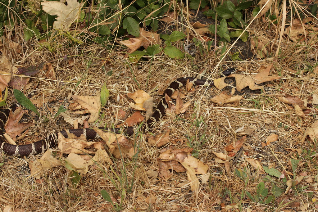 Photo: Björn S..., CC BY-SA 2.0 (via Flickr)
- 2.7 mi
- round trip
- 1,887 ft
- climb
- 783 ft
- high point
- Out and back
- route
- Oct–May
- best months
Bill Wallace Trail is a moderate out-and-back hike of about 5.5 miles in El Capitán State Beach, California. It starts at an elevation of about 283 feet and reaches a high point of 783 feet, with a total climb of about 1,887 feet over the course of the trip. The trail's steepest stretch comes at about 2.3 miles in, where the grade reaches 24 percent. Spring and fall are the most comfortable times to go. Typical averages from a nearby weather station at Cachuma Lake show May highs around 80°F with lows near 43°F, while October runs about 84°F by day and 43°F at night. Summer afternoons there reach the low 90s, and winter brings cooler temperatures with more wet days. The hike takes about three hours to complete. It is managed by State Park and Recreation, and the route is roughly 2.7 miles long in one direction.
 Tequepis TrailHikingPhoto: Guttorm Flatabø, CC BY 2.0 (via Flickr)5.4 mi
 Baron Ranch TrailHikingPhoto: Charles Nadeau from San Mateo, CA, CC BY 2.0 (via Wikimedia Commons)5.7 mi
- TequepisHiking6.4 mi
 Sweetwater TrailHikingPhoto: freeloosedirt, CC BY-SA 2.0 (via Flickr)7.6 mi
 Santa Ynez RiverCanoeingPhoto: Gordon F. Smith, CC BY-SA 3.0 (via Wikimedia Commons)7.8 mi
 The Lizard's MouthRock climbingPhoto: DieselDemon, CC BY 2.0 (via Flickr)8.9 mi
 The MouthRock climbingPhoto: DieselDemon, CC BY 2.0 (via Flickr)9 mi
 Kelly's HillRock climbingPhoto: NewMillenniumMusic, CC BY-SA 3.0 (via Wikimedia Commons)9 mi
Source: Roamze catalog (indexable pages within 10 miles, PostGIS distance)
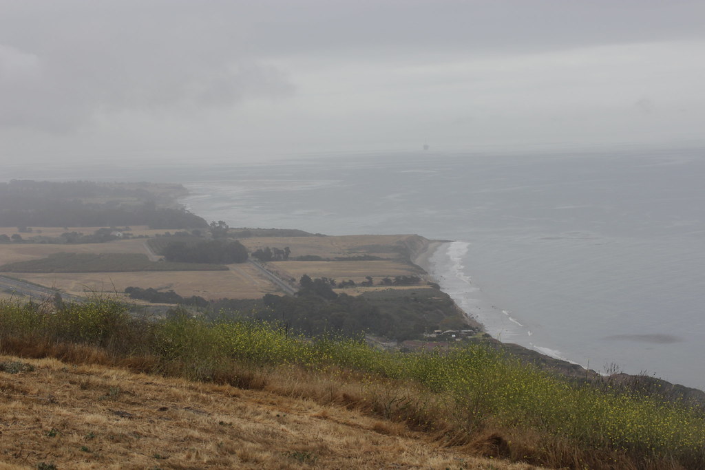 Bill Wallace TrailHiking · Next doorPhoto: Björn S..., CC BY-SA 2.0 (via Flickr)
 Bill Wallace TrailHiking · ~2 min drivePhoto: Björn S..., CC BY-SA 2.0 (via Flickr)
 Connector TrailHiking · ~13 min drivePhoto: bdearth, CC BY 2.0 (via Flickr)
- Baron Ranch TrailHiking · ~10 min drivePhoto: Charles Nadeau from San Mateo, CA, CC BY 2.0 (via Wikimedia Commons)
- Tequepis TrailHiking · ~9 min drivePhoto: Guttorm Flatabø, CC BY 2.0 (via Flickr)
 Marsh Trail WestHiking · ~15 min drivePhoto: beltz6, CC BY 2.0 (via Flickr)
 Tunnel View TrailHiking · ~20 min drivePhoto: Robert Ashworth, CC BY 2.0 (via Wikimedia Commons)
- Sweetwater TrailHiking · ~13 min drivePhoto: freeloosedirt, CC BY-SA 2.0 (via Flickr)
 Rattlesnake TrailHiking · ~20 min drivePhoto: Damian Gadal, CC BY 2.0 (via Wikimedia Commons)
 Yucca TrailHiking · ~20 min drivePhoto: Damian Gadal, CC BY 2.0 (via Wikimedia Commons)
Best time to visit Bill Wallace Trail
Best months: October–May. Best months have typical highs of 55–85 °F, lows of 30 °F or warmer (32 °F where the station doesn't record snow), at most one snowy day and no more than 12 wet days.
Jan
67° / 34°
8 wet
Feb
68° / 35°
8 wet
Mar
71° / 38°
7 wet
Apr
76° / 39°
4 wet
May
80° / 43°
2 wet
Jun
86° / 45°
1 wet
Jul
92° / 48°
0 wet
Aug
93° / 49°
0 wet
Sep
91° / 47°
1 wet
Oct
84° / 43°
2 wet
Nov
75° / 38°
4 wet
Dec
67° / 33°
7 wet
Typical high / low (°F) and days with rain or snow, 1991–2020. Measured at Cachuma Lake, CA, 7.7 mi away at 789 ft. Source: NOAA NCEI U.S. Climate Normals 1991–2020.
Map and trail data © OpenStreetMap contributors
