Connector Trail
 Photo: bdearth, CC BY 2.0 (via Flickr)
- 0.4 mi
- round trip
- 201 ft
- climb
- 806 ft
- high point
- Out and back
- route
- Oct–May
- best months
Connector Trail is a short, easy hike in Cachuma Lake Recreation Area in California, about 0.44 miles long and roughly 0.88 miles round trip. It's an out-and-back route that starts and ends at nearly the same elevation, with a total climb of about 200 feet and a steepest stretch of about 7% at around 0.2 miles in. Spring and fall are the most comfortable times to go. Typical averages from the nearby Cachuma Lake weather station show May highs around 80°F and October highs around 84°F, while July and August average in the low 90s. Sweetwater Trail lies about a mile away, and Tequepis is about 1.8 miles off. For paddling, the Santa Ynez River is about 5.7 miles away, and Paradise Campground is about 8.8 miles away.
 Sweetwater TrailHikingPhoto: freeloosedirt, CC BY-SA 2.0 (via Flickr)1 mi
- TequepisHiking1.8 mi
 Santa Ynez RiverCanoeingPhoto: Gordon F. Smith, CC BY-SA 3.0 (via Wikimedia Commons)5.7 mi
 Kelly's HillRock climbingPhoto: NewMillenniumMusic, CC BY-SA 3.0 (via Wikimedia Commons)7.4 mi
 The MouthRock climbingPhoto: DieselDemon, CC BY 2.0 (via Flickr)7.4 mi
- Santa Cruz CreekCanoeing7.8 mi
- Paradise CampgroundCamping8.8 mi
 Los PrietosCampingPhoto: Recreation.gov (RIDB) / public domain9 mi
Source: Roamze catalog (indexable pages within 10 miles, PostGIS distance)
- Sweetwater TrailHiking · ~2 min drivePhoto: freeloosedirt, CC BY-SA 2.0 (via Flickr)
 Rattlesnake TrailHiking · ~12 min drivePhoto: Damian Gadal, CC BY 2.0 (via Wikimedia Commons)
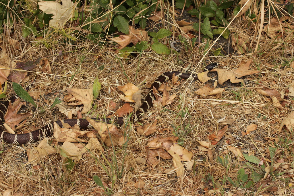 Bill Wallace TrailHiking · ~13 min drivePhoto: Björn S..., CC BY-SA 2.0 (via Flickr)
 Tequepis TrailHiking · ~6 min drivePhoto: Guttorm Flatabø, CC BY 2.0 (via Flickr)
 Aliso Canyon TrailHiking · ~18 min drivePhoto: Region 5 Photography, Public domain (via Wikimedia Commons)
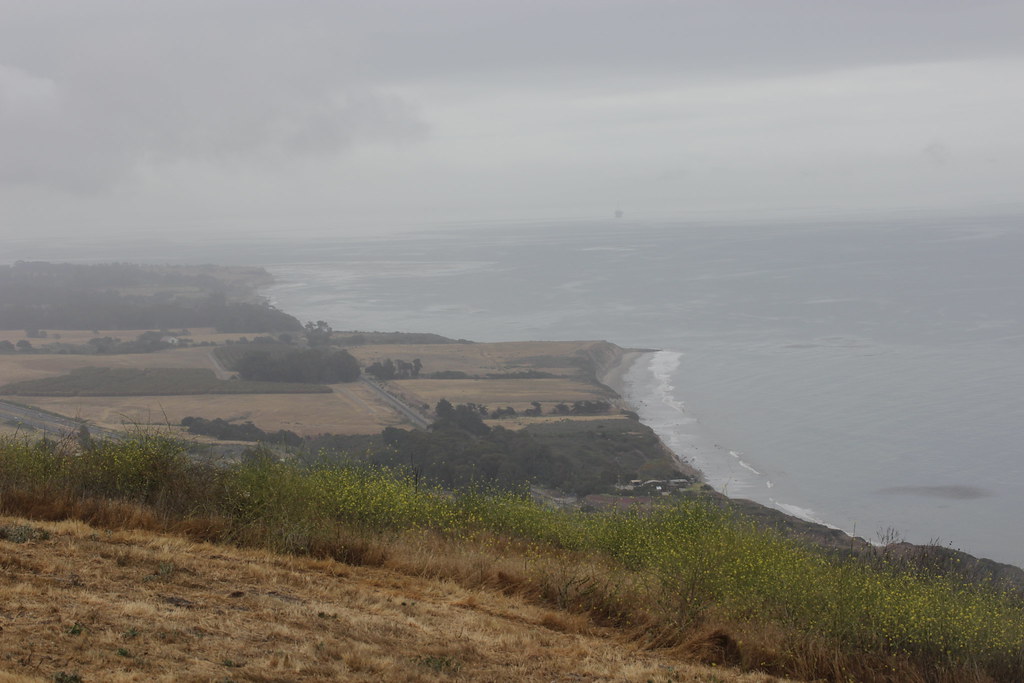 Bill Wallace TrailHiking · ~14 min drivePhoto: Björn S..., CC BY-SA 2.0 (via Flickr)
 Bill Wallace TrailHiking · ~11 min drivePhoto: Björn S..., CC BY-SA 2.0 (via Flickr)
- Aliso TrailHiking · ~19 min drivePhoto: Region 5 Photography, Public domain (via Wikimedia Commons)
 ALISO LOOPHiking · ~17 min drivePhoto: Damian Gadal, CC BY 2.0 (via Wikimedia Commons)
- SnyderHiking · ~17 min drivePhoto: Damian Gadal, CC BY 2.0 (via Wikimedia Commons)
Also worth it near here
- Cachuma Lake Recreation AreaCamping · Next doorPhoto: bdearth — CC BY 2.0 (via Flickr)
- San Marcos Hot SpringHot spring · ~9 min drive
- Santa Ynez RiverCanoeing · ~10 min drivePhoto: Gordon F. Smith, CC BY-SA 3.0 (via Wikimedia Commons)
- Kelly's HillRock climbing · ~13 min drivePhoto: NewMillenniumMusic, CC BY-SA 3.0 (via Wikimedia Commons)
Best time to visit Connector Trail
Best months: October–May. Best months have typical highs of 55–85 °F, lows of 30 °F or warmer (32 °F where the station doesn't record snow), at most one snowy day and no more than 12 wet days.
Jan
67° / 34°
8 wet
Feb
68° / 35°
8 wet
Mar
71° / 38°
7 wet
Apr
76° / 39°
4 wet
May
80° / 43°
2 wet
Jun
86° / 45°
1 wet
Jul
92° / 48°
0 wet
Aug
93° / 49°
0 wet
Sep
91° / 47°
1 wet
Oct
84° / 43°
2 wet
Nov
75° / 38°
4 wet
Dec
67° / 33°
7 wet
Typical high / low (°F) and days with rain or snow, 1991–2020. Measured at Cachuma Lake, CA, 1.2 mi away at 789 ft. Source: NOAA NCEI U.S. Climate Normals 1991–2020.
Map and trail data © OpenStreetMap contributors
