Baron Ranch Trail
 Photo: Charles Nadeau from San Mateo, CA, CC BY 2.0 (via Wikimedia Commons)
- 1.4 mi
- round trip
- 1,485 ft
- climb
- 297 ft
- high point
- Out and back
- route
- Oct–May
- best months
Baron Ranch Trail is a moderate out-and-back hike in California, set on county land within the Baron Ranch. The route covers about 2.7 miles, with a total elevation gain of roughly 1,485 feet. That makes the climb a steady one, with the steepest stretch around the 0.95-mile mark, where the grade reaches about 11 percent. The trail begins at an elevation of 255 feet and reaches a high point of 297 feet. Spring and fall are the most comfortable times to go. Typical averages from a nearby weather station at Cachuma Lake show May highs around 80°F and October highs around 84°F, with fewer wet days than in winter. The station sits a few hundred feet lower than the trail, so temperatures on the higher ground run a little cooler. The trip takes about 1.5 hours. Trespass Trail is about 4.6 miles away, and Bill Wallace Trail and Tunnel View Trail are both within about 6 miles. For paddling, the Santa Ynez River is roughly 7.3 miles off.
 Trespass TrailHikingPhoto: Robert Ashworth, CC BY 2.0 (via Wikimedia Commons)4.6 mi
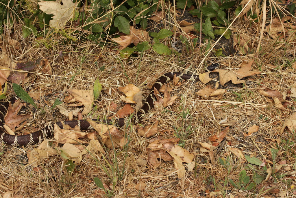 Bill Wallace TrailHikingPhoto: Björn S..., CC BY-SA 2.0 (via Flickr)5.7 mi
- Tunnel View TrailHikingPhoto: Robert Ashworth, CC BY 2.0 (via Wikimedia Commons)5.8 mi
 Yucca TrailHikingPhoto: Damian Gadal, CC BY 2.0 (via Wikimedia Commons)6.2 mi
 Beach to Backcountry TrailHikingPhoto: Damian Gadal, CC BY 2.0 (via Wikimedia Commons)6.4 mi
 Ortega TrailHikingPhoto: Ken Lund, CC BY-SA 2.0 (via Flickr)6.4 mi
 Santa Ynez RiverCanoeingPhoto: Gordon F. Smith, CC BY-SA 3.0 (via Wikimedia Commons)7.3 mi
Source: Roamze catalog (indexable pages within 10 miles, PostGIS distance)
- Trespass TrailHiking · ~8 min drivePhoto: Robert Ashworth, CC BY 2.0 (via Wikimedia Commons)
- Bill Wallace TrailHiking · ~10 min drivePhoto: Björn S..., CC BY-SA 2.0 (via Flickr)
- Ortega TrailHiking · ~11 min drivePhoto: Ken Lund, CC BY-SA 2.0 (via Flickr)
 Bill Wallace TrailHiking · ~11 min drivePhoto: Björn S..., CC BY-SA 2.0 (via Flickr)
- Tunnel View TrailHiking · ~10 min drivePhoto: Robert Ashworth, CC BY 2.0 (via Wikimedia Commons)
- Las Cruces TrailHiking · ~12 min drivePhoto: Damian Gadal, CC BY 2.0 (via Wikimedia Commons)
 Tequepis TrailHiking · ~17 min drivePhoto: Guttorm Flatabø, CC BY 2.0 (via Flickr)
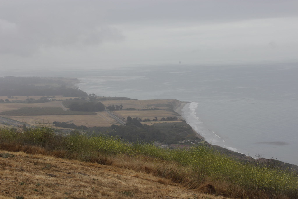 Bill Wallace TrailHiking · ~10 min drivePhoto: Björn S..., CC BY-SA 2.0 (via Flickr)
 Woodland TrailHiking · ~12 min drivePhoto: Sergei Gussev, CC BY 3.0 (via Wikimedia Commons)
 Sweetwater TrailHiking · ~18 min drivePhoto: freeloosedirt, CC BY-SA 2.0 (via Flickr)
Best time to visit Baron Ranch Trail
Best months: October–May. Best months have typical highs of 55–85 °F, lows of 30 °F or warmer (32 °F where the station doesn't record snow), at most one snowy day and no more than 12 wet days.
Jan
67° / 34°
8 wet
Feb
68° / 35°
8 wet
Mar
71° / 38°
7 wet
Apr
76° / 39°
4 wet
May
80° / 43°
2 wet
Jun
86° / 45°
1 wet
Jul
92° / 48°
0 wet
Aug
93° / 49°
0 wet
Sep
91° / 47°
1 wet
Oct
84° / 43°
2 wet
Nov
75° / 38°
4 wet
Dec
67° / 33°
7 wet
Typical high / low (°F) and days with rain or snow, 1991–2020. Measured at Cachuma Lake, CA, 10.2 mi away at 789 ft. Source: NOAA NCEI U.S. Climate Normals 1991–2020.

Map and trail data © OpenStreetMap contributors
