Ocean Mesa RV & Campground
Campground
Campground · 8.6 mi from the trail
 Photo: beltz6, CC BY 2.0 (via Flickr)
Marsh Trail West is a short, easy out-and-back hike in California's Ellwood Mesa and Sperling Preserve, on city land. The trail is about 0.74 miles long, with a total elevation gain of 21 feet and a high point of 25 feet. It is a flat route, and the start and finish sit at nearly the same elevation, so the walk is easy to fit into a short outing. The trail works well as a quick addition to a visit to the preserve. It is only about 0.4 miles from Marsh Trail North, and Pond Trail is roughly 0.7 miles away. For climbing, The Lizard's Mouth is about 5 miles off, and Fremont Campground offers saltwater fishing about 9 miles away.
Ocean Mesa RV & Campground
Campground
 If it rainsAirickson, CC BY-SA 4.0 · Wikimedia Commons
Places © OpenStreetMap contributors · Photos: Airickson, CC BY-SA 4.0 (commons)
More in Carpinteria The Lizard's MouthRock climbingPhoto: DieselDemon, CC BY 2.0 (via Flickr)5.1 mi
 Yeti BoulderRock climbingPhoto: DieselDemon, CC BY 2.0 (via Flickr)5.4 mi
 Los PrietosCampingPhoto: Recreation.gov (RIDB) / public domain9.3 mi
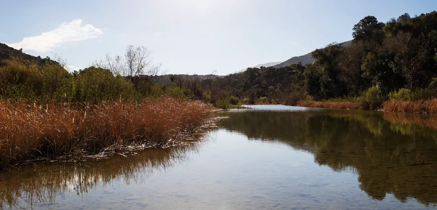 Sage HillSaltwater fishing9.7 mi
Source: Roamze catalog (indexable pages within 10 miles, PostGIS distance)
 Tequepis TrailHiking · ~14 min drivePhoto: Guttorm Flatabø, CC BY 2.0 (via Flickr)
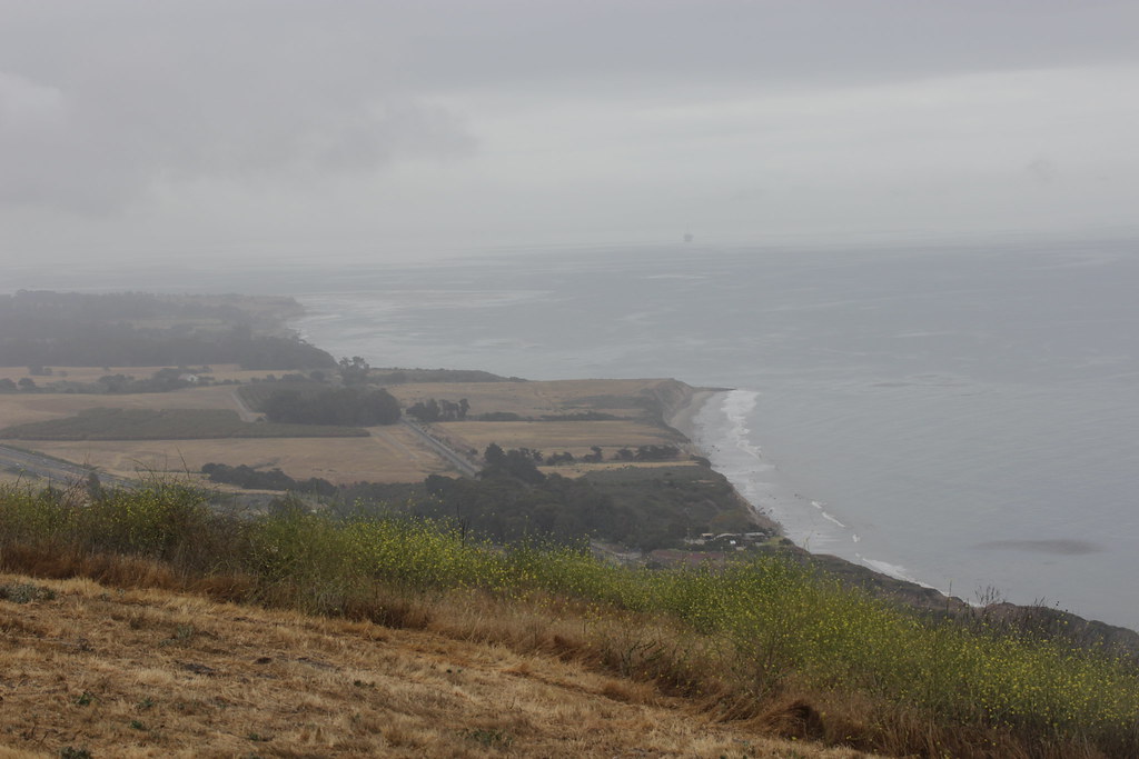 Bill Wallace TrailHiking · ~14 min drivePhoto: Björn S..., CC BY-SA 2.0 (via Flickr)
 Switch back TrailHiking · ~15 min drivePhoto: Damian Gadal, CC BY 2.0 (via Wikimedia Commons)
 Bill Wallace TrailHiking · ~14 min drivePhoto: Björn S..., CC BY-SA 2.0 (via Flickr)
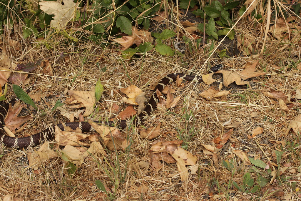 Bill Wallace TrailHiking · ~15 min drivePhoto: Björn S..., CC BY-SA 2.0 (via Flickr)
 Rattlesnake TrailHiking · ~16 min drivePhoto: Damian Gadal, CC BY 2.0 (via Wikimedia Commons)
 SnyderHiking · ~17 min drivePhoto: Damian Gadal, CC BY 2.0 (via Wikimedia Commons)ALISO LOOPHiking · ~18 min drivePhoto: Damian Gadal, CC BY 2.0 (via Wikimedia Commons)
 Lower Oso To Upper Oso TrailHiking · ~18 min drivePhoto: Region 5 Photography, Public domain (via Wikimedia Commons)
 TunnelHiking · ~18 min drivePhoto: brewbooks, CC BY-SA 2.0 (via Flickr)
Best months: Year-round. Best months have typical highs of 55–85 °F, lows of 30 °F or warmer (32 °F where the station doesn't record snow), at most one snowy day and no more than 12 wet days.
Jan
63° / 43°
Feb
62° / 44°
Mar
65° / 46°
Apr
65° / 48°
May
68° / 51°
Jun
68° / 54°
Jul
71° / 57°
Aug
72° / 56°
Sep
71° / 56°
Oct
72° / 51°
Nov
67° / 46°
Dec
63° / 42°
Typical high / low (°F) and days with rain or snow, 1991–2020. Measured at Santa Barbara 11 W, CA, 0.6 mi away at 18 ft. This station doesn't record snowfall. Source: NOAA NCEI U.S. Climate Normals 1991–2020.
Map and trail data © OpenStreetMap contributors
