Tequepis Trail
 Photo: Guttorm Flatabø, CC BY 2.0 (via Flickr)
- 2.7 mi
- round trip
- 4,330 ft
- climb
- 3,582 ft
- high point
- Out and back
- route
- Oct–May
- best months
Is Tequepis Trail open right now?
Alert in the area
The Forest Service lists 2 alerts for Los Padres National Forest.
Los Padres Fire Use and Firearm Restrictions
Agency alert covering Los Padres National Forest · Order 05-07-00-26-05 · USFS · Los Padres National Forest
Santa Barbara Front Country Fire Use Restrictions
Agency alert covering Los Padres National Forest · Order 05-07-5406-01 · USFS · Los Padres National Forest
As of · Source: USFS · Los Padres National Forest. Agencies don't list every closure — check before you go.
Tequepis Trail is a hard hike in the Santa Barbara Ranger District of Los Padres National Forest in California, managed by the Forest Service. The route is an out-and-back of about 5.3 miles, with a total elevation gain of 4,330 feet. The trail starts at about 3,526 feet and climbs to a high point of 3,582 feet, then descends back to the starting elevation. The steepest stretch comes early, around 0.35 miles in, with a grade of about 33 percent. Spring and fall are the most comfortable times to go. Typical averages from a nearby weather station at New Cuyama, which sits well below the trail, show April highs around 71°F and October highs around 78°F, while July and August average in the mid-90s. Temperatures on the trail run cooler than those figures. The hike takes about four hours. The Tequepis hike lies about 1.7 miles away, and the Connector Trail is about 3.5 miles off. Climbers can find Kelly's Hill and The Mouth about 5 miles away, and Paradise Campground is about 7.9 miles away.
- TequepisHiking1.7 mi
 Connector TrailHikingPhoto: bdearth, CC BY 2.0 (via Flickr)3.5 mi
 Kelly's HillRock climbingPhoto: NewMillenniumMusic, CC BY-SA 3.0 (via Wikimedia Commons)5 mi
 The MouthRock climbingPhoto: DieselDemon, CC BY 2.0 (via Flickr)5 mi
 Santa Ynez RiverCanoeingPhoto: Gordon F. Smith, CC BY-SA 3.0 (via Wikimedia Commons)7.4 mi
- Fremont CampgroundSaltwater fishing7.5 mi
- Paradise CampgroundCamping7.9 mi
 Los PrietosCampingPhoto: Recreation.gov (RIDB) / public domain8.1 mi
Source: Roamze catalog (indexable pages within 10 miles, PostGIS distance)
- Connector TrailHiking · ~6 min drivePhoto: bdearth, CC BY 2.0 (via Flickr)
 Sweetwater TrailHiking · ~7 min drivePhoto: freeloosedirt, CC BY-SA 2.0 (via Flickr)
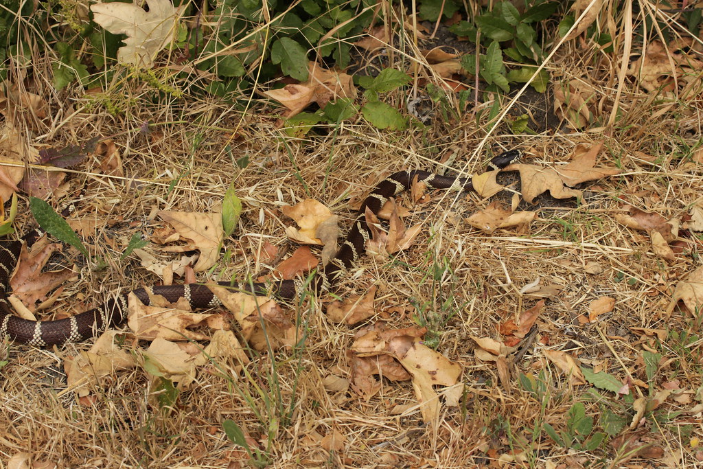 Bill Wallace TrailHiking · ~9 min drivePhoto: Björn S..., CC BY-SA 2.0 (via Flickr)
 Rattlesnake TrailHiking · ~11 min drivePhoto: Damian Gadal, CC BY 2.0 (via Wikimedia Commons)
 Bill Wallace TrailHiking · ~7 min drivePhoto: Björn S..., CC BY-SA 2.0 (via Flickr)
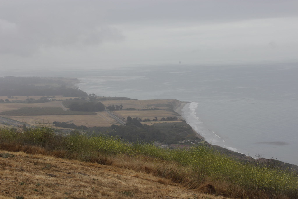 Bill Wallace TrailHiking · ~9 min drivePhoto: Björn S..., CC BY-SA 2.0 (via Flickr)
 Marsh Trail WestHiking · ~14 min drivePhoto: beltz6, CC BY 2.0 (via Flickr)
 SnyderHiking · ~15 min drivePhoto: Damian Gadal, CC BY 2.0 (via Wikimedia Commons)
- ALISO LOOPHiking · ~16 min drivePhoto: Damian Gadal, CC BY 2.0 (via Wikimedia Commons)
 Aliso Canyon TrailHiking · ~17 min drivePhoto: Region 5 Photography, Public domain (via Wikimedia Commons)
Also worth it near here
Best time to visit Tequepis Trail
Best months: October–May. Best months have typical highs of 55–85 °F, lows of 30 °F or warmer (32 °F where the station doesn't record snow), at most one snowy day and no more than 12 wet days.
Jan
61° / 33°
6 wet
Feb
62° / 34°
6 wet
Mar
66° / 37°
5 wet
Apr
71° / 40°
3 wet
May
80° / 45°
2 wet
Jun
88° / 51°
0 wet
Jul
95° / 57°
0 wet
Aug
94° / 56°
0 wet
Sep
89° / 52°
1 wet
Oct
78° / 43°
1 wet
Nov
68° / 36°
3 wet
Dec
61° / 32°
5 wet
Typical high / low (°F) and days with rain or snow, 1991–2020. Measured at New Cuyama Fire Stn, CA, 32.7 mi away at 2,160 ft. The station sits about 1,400 ft lower than this place, so expect it a little cooler here. This station doesn't record snowfall. Source: NOAA NCEI U.S. Climate Normals 1991–2020.
Map and trail data © OpenStreetMap contributors
