Bear Lakes Trail
- 0.6 mi
- round trip
- 836 ft
- climb
- 5,536 ft
- high point
- Out and back
- route
Is Bear Lakes Trail open right now?
Alert in the area
The Forest Service lists 2 alerts for Klamath National Forest.
Temporarily closure of approximately 3.5 miles of National Forest System Roads 47N01
Agency alert covering Klamath National Forest · Order 05-05-00-26-08 · USFS · Klamath National Forest
Grayback Road Repairs
Agency alert covering Klamath National Forest · USFS · Klamath National Forest
As of · Source: USFS · Klamath National Forest. Agencies don't list every closure — check before you go.
Bear Lakes Trail is a short, easy out-and-back hike in the Happy Camp Ranger District of Klamath National Forest in northern California, managed by the Forest Service. The trail is about 1.2 miles long, and the one-way elevation gain is 69 feet, with the high point at 5,536 feet and the low point at 4,789 feet. The climb is back-loaded, with the steepest stretch at about 0.45 miles in, where the grade reaches 39 percent. The trip takes about an hour, and the trail is open year-round. The nearest town is Happy Camp, and the surrounding area offers more to explore. North Fork Dillon Creek and South Fork Clear Creek are both canoeing options within about 4 miles, and the West Fork Clear Creek hike is about 4.4 miles away. For an overnight stay, Dillon Creek Campground sits roughly 8.3 miles from the trail.
Local outfitters
- Applegate Trail Rides40 mi away
Not on Roamze yet. Their page has how to reach them.
- North Fork Dillon CreekCanoeing3.7 mi
- South Fork Clear CreekCanoeing4.2 mi
- West Fork Clear CreekHiking4.4 mi
- Clear CreekCanoeing5.1 mi
- Bear WallowHiking7 mi
- DillonCamping8.2 mi
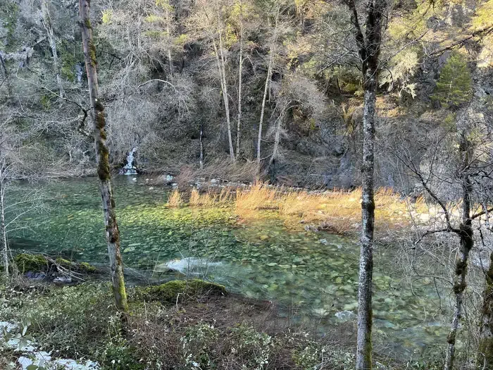 Dillon Creek CampgroundCampingPhoto: Recreation.gov (RIDB) / public domain8.3 mi
 Boundary Trail 4E50HikingPhoto: chloe_and_trevor, CC BY 4.0 (via Wikimedia Commons)8.6 mi
Source: Roamze catalog (indexable pages within 10 miles, PostGIS distance)
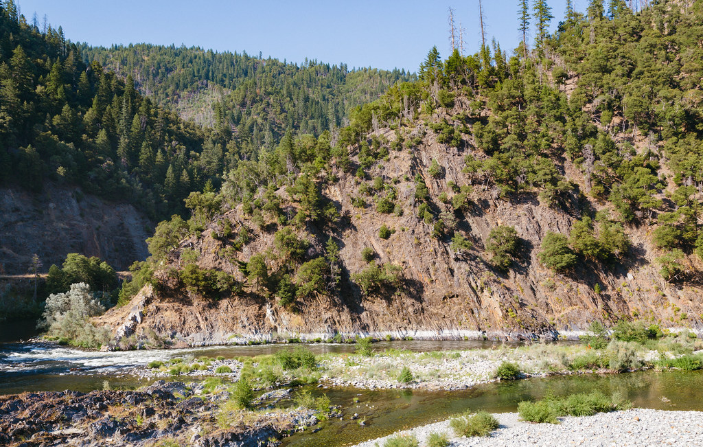 Dillon CreekHiking · ~14 min drivePhoto: Tony Webster, CC BY 2.0 (via Flickr)
 Buck LakeHiking · ~18 min drivePhoto: Miguel Vieira from Walnut Creek, CA, USA, CC BY 2.0 (via Wikimedia Commons)
- Boundary Trail 4E50Hiking · ~15 min drivePhoto: chloe_and_trevor, CC BY 4.0 (via Wikimedia Commons)
- Devil's PunchbowlHiking · ~17 min drivePhoto: Miguel Vieira from Walnut Creek, CA, USA, CC BY 2.0 (via Wikimedia Commons)
- Buck Lake (To Clear Cr.)Hiking · ~18 min drivePhoto: Miguel Vieira from Walnut Creek, CA, USA, CC BY 2.0 (via Wikimedia Commons)
 Doe FlatHiking · ~19 min drivePhoto: cm195902, CC BY 2.0 (via Flickr)
- Boundary TrailHiking · ~16 min drive
- Rattlesnake MeadowsHiking · ~21 min drive
- West Fork Clear CreekHiking · ~8 min drive
- Bear WallowHiking · ~12 min drive
Map and trail data © OpenStreetMap contributors
