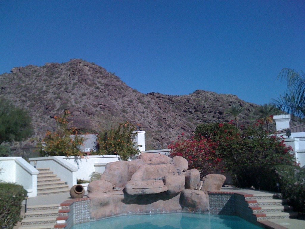
Santa Cruz Wash
- 15.9 mi
- distance
- 1,121 ft
- high point
- Nov–Mar
- best months
Santa Cruz Wash is a 16-mile paddling stretch on the Bureau of Indian Affairs land near Maricopa, Arizona, about 2.7 miles from the town of Sacate. It is an intermittent route, and it may run dry in some seasons. USGS models an average flow of about 56 cubic feet per second and a gradient of about 6.7 feet per mile. The most comfortable paddling months are typically late fall through early spring. At a nearby weather station in Maricopa, typical average highs run from 78°F in November to 69°F in January, while summer highs climb past 100°F from June through August. Several hiking routes lie within about 8 miles, including the Quartz Peak Trail at 6.8 miles, the Gila Trail at 7.5 miles, and the Pyramid Trail at 7.6 miles.
Local outfitters
- El Mar Diving Center20 mi away
Not on Roamze yet. Their page has how to reach them.
- Quartz Peak TrailHiking6.8 mi
- Gila TrailHiking7.5 mi
- Pyramid TrailHiking7.6 mi
- Bursera TrailHiking7.6 mi
- Bursera CanyonHiking7.7 mi
- Prospector LoopHiking8.1 mi
- Cholla Flats LoopHiking8.3 mi
- Upper Gila TrailHiking8.3 mi
Source: Roamze catalog (indexable pages within 10 miles, PostGIS distance)
 Gila RiverCanoeing · ~24 min drivePhoto: benmacaskill, CC BY 2.0 (via Wikimedia Commons)
 Salt RiverCanoeing · ~43 min drivePhoto: Alan Stark from Goodyear, AZ, United States, CC BY-SA 2.0 (via Wikimedia Commons)
- Santa Rosa WashCanoeing · ~1h 12m drive
- New RiverCanoeing · ~1h 18m drive
- Palo Verde Boating SiteBoat launch · ~1h 20m drive
- Laguna Boating SiteBoat launch · ~1h 21m drive
- Canyon Lake MarinaBoat launch · ~1h 20m drive
Best time to visit Santa Cruz Wash
Best months: November–March. Best months have typical highs of 55–85 °F, lows of 30 °F or warmer (32 °F where the station doesn't record snow), at most one snowy day and no more than 12 wet days.
Jan
69° / 37°
4 wet
Feb
73° / 40°
4 wet
Mar
80° / 45°
3 wet
Apr
88° / 51°
1 wet
May
97° / 59°
1 wet
Jun
107° / 69°
1 wet
Jul
109° / 78°
3 wet
Aug
107° / 77°
4 wet
Sep
102° / 69°
3 wet
Oct
91° / 55°
2 wet
Nov
78° / 43°
2 wet
Dec
67° / 35°
4 wet
Typical high / low (°F) and days with rain or snow, 1991–2020. Measured at Maricopa 4 N, AZ, 7.7 mi away at 1,160 ft. Source: NOAA NCEI U.S. Climate Normals 1991–2020.