
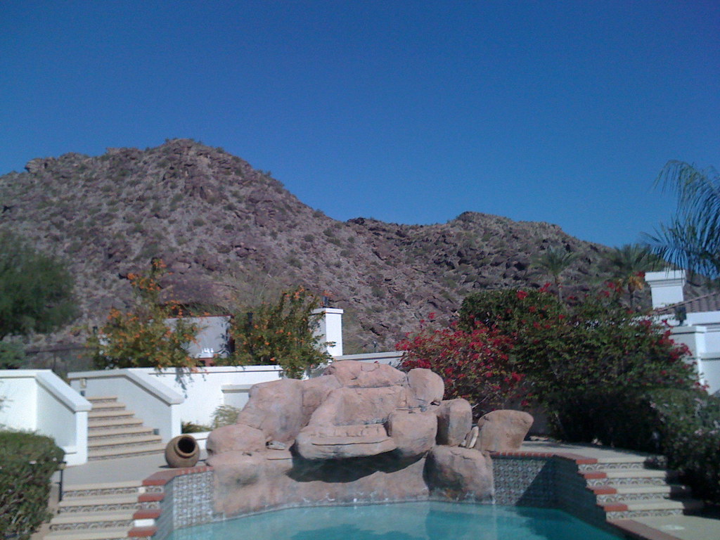
VIP RV Resort
Hiking business nearby (~31 mi away) — hasn't claimed their Roamze page yet
Free — you'll pick up right here.
Watch this trail
Sign up to watch it — saving subscribes you to gate, closure and report changes.
Arizona
7.0 mi
Distance
242 ft
Gain
2h 28m
Time
No agency boundary, access route or field report is mapped to it — so there is no verdict, and we won't guess. We'll tell you the moment this trail has something to say.
Covered nearby
Trails within 25 miles where we do have a current picture.
Nobody's filed a report here yet — be the first.
Why you'll love it
Bajada Trail
AI-suggested draft · review before you go
The Bajada Trail is a 7.0-mile out-and-back route located in Arizona near Phoenix and managed by the City of Phoenix. With 242 feet of elevation gain, this trail offers a moderate hiking experience suitable for a range of skill levels. The relatively modest elevation change makes it accessible to hikers seeking a less strenuous outing while still providing a substantial distance to explore. As an out-and-back trail, hikers will follow the same route returning to the trailhead, allowing them to turn back at any point if desired or complete the full 7.0 miles. This format also makes navigation straightforward, as there are no complex trail junctions to navigate. The trail is maintained by the City of Phoenix Parks and Recreation department, ensuring regular upkeep and management. Whether you're a local looking for a convenient outdoor escape or a visitor exploring the Phoenix area, the Bajada Trail provides an opportunity to experience the Arizona landscape with reasonable physical demands.
Las Lomitas Trail
~1 min drive
A 1.27-mile lollipop trail in Arizona that connects to a network of nearby hiking routes including Ranger, Kiwanis, and Holbert trails.
National Trail
~6 min drive
A strenuous 27.32-mile out-and-back singletrack trail in Arizona that connects to the Mormon Trail system, designed for experienced hikers seeking a challenging adventure.
Freedom Trail 302
~25 min drive
3.8 mi · Moderate
8005C
~40 min drive
Quick desert out-and-back trail near Arizona.
Ranger Trail
~1 min drive
3.0 mi · Easy
Desert Classic Trail
~11 min drive
17 mi · Hard
Trail 306
~30 min drive
3.5 mi · Moderate
Telegraph Pass Trail
~2 min drive
2.3 mi · Easy
Perl Charles Trail 1A
~27 min drive
A 13.18-mile out-and-back trail in Arizona for dedicated hikers seeking a full-day adventure.
Alta Trail
~2 min drive
0.8 mi · Easy
Local operatorsoffering guided trips. You book directly with them — Roamze doesn’t take a cut.
VIP RV Resort
Hiking business nearby (~31 mi away) — hasn't claimed their Roamze page yet
Arizona Desert Mountain Jeep Tours
Hiking business nearby (~37 mi away) — hasn't claimed their Roamze page yet