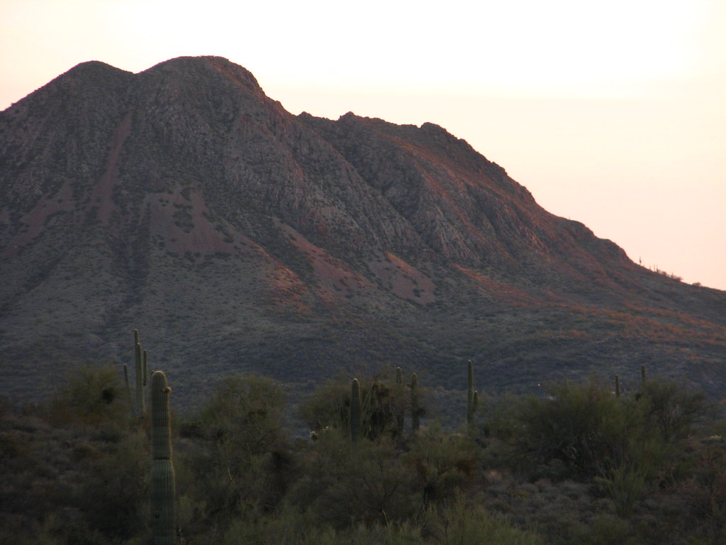
Agua Fria River
- 71.4 mi
- distance
- 4,932 ft
- high point
- Oct–May
- best months
Agua Fria River is a 71-mile paddling stretch near Black Canyon City, Arizona, on Bureau of Land Management land within the Hassayampa Field Office. The river is ephemeral and may run dry in some seasons. USGS models an average flow of about 109 cfs and a gradient of about 33.8 feet per mile. Spring and fall are the most comfortable times to plan a trip. Typical averages from the nearby Cordes weather station show highs around 74°F in April and 79°F in October, while July averages climb to about 96°F. That station sits about 1,160 feet lower than the river, so temperatures on the water run cooler. Little Pan Loop is about 2 miles away, and Black Canyon Trail is about 2.5 miles away. The Black Canyon Trail Connector and High Desert Trail (blue) are both within 4 miles.
Local outfitters
- Verde Ranch RV Resort43 mi away
- El Mar Diving Center47 mi away
Not on Roamze yet. Their page has how to reach them.
- Little Pan LoopHiking2.1 mi
- Black Canyon TrailMountain biking2.5 mi
- Black Canyon Trail ConnectorHiking3.4 mi
- High Desert Trail (blue)Hiking3.8 mi
- Columbia TrailHiking6.6 mi
- Black Canyon Trail AccessHiking7.8 mi
- Willow CreekMountain biking8 mi
- Moores Gulch Trail MT-46Hiking8.4 mi
Source: Roamze catalog (indexable pages within 10 miles, PostGIS distance)
 Hassayampa RiverCanoeing · ~42 min drivePhoto: John Menard from Phoenix, USA, CC BY-SA 2.0 (via Wikimedia Commons)
- Castle Creek Boat RampBoat launch · ~17 min drive
 Verde RiverCanoeing · ~48 min drivePhoto: Jennifer Horn, Public domain (via Wikimedia Commons)
- Ocotillo Boating SiteBoat launch · ~48 min drive
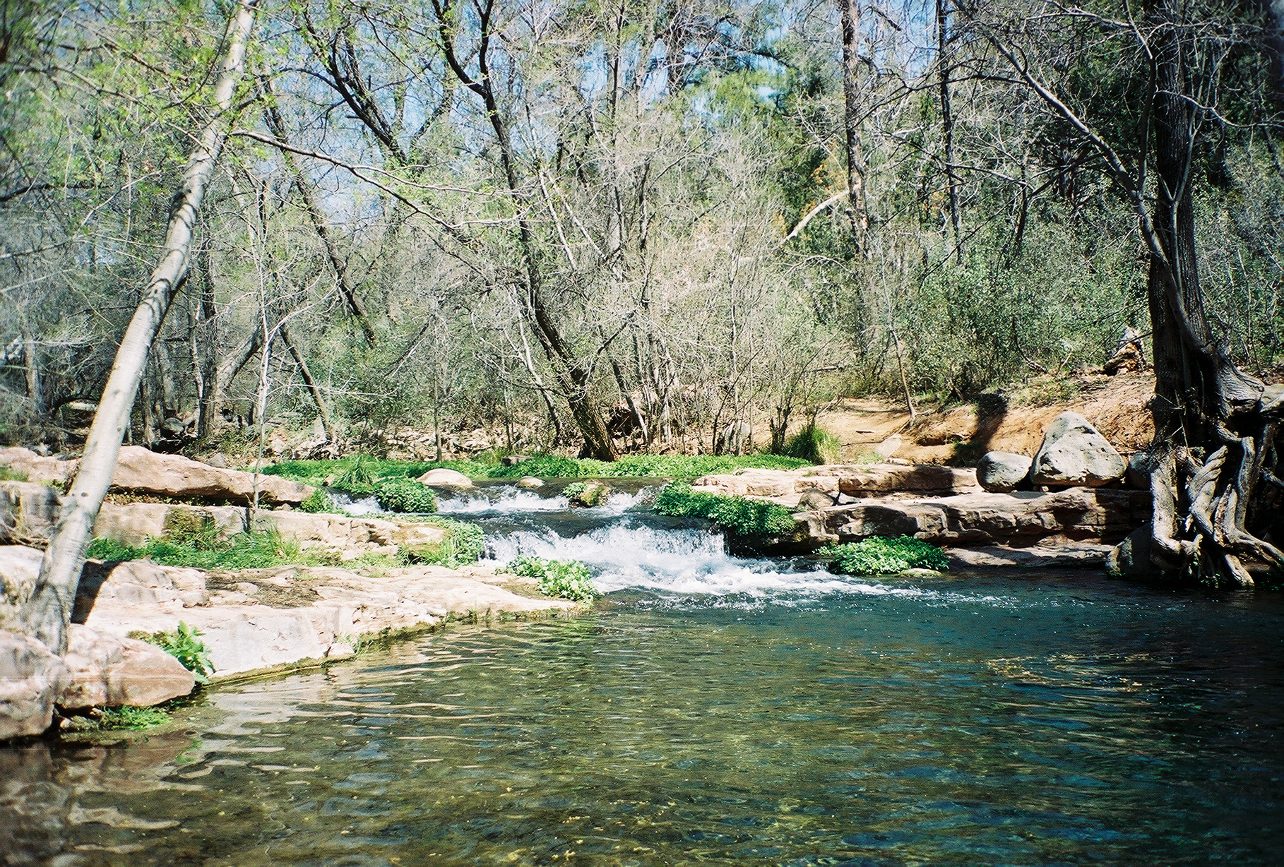 Fossil CreekCanoeing · ~1h 12m drivePhoto: Gonzo fan2007, CC BY-SA 3.0 (via Wikimedia Commons)
- Lynx Lake Marina & StoreBoat launch · ~1h 1m drive
 Salt RiverCanoeing · ~1h 14m drivePhoto: Alan Stark from Goodyear, AZ, United States, CC BY-SA 2.0 (via Wikimedia Commons)
- Yellow Cliffs Boating SiteBoat launch · ~1h 2m drive
 East Verde RiverCanoeing · ~1h 22m drivePhoto: Richard N Horne, CC BY-SA 4.0 (via Wikimedia Commons)
- Granite Basin Boat LaunchBoat launch · ~1h 17m drive
Best time to visit Agua Fria River
Best months: October–May. Best months have typical highs of 55–85 °F, lows of 30 °F or warmer (32 °F where the station doesn't record snow), at most one snowy day and no more than 12 wet days.
Jan
59° / 33°
5 wet
Feb
61° / 35°
5 wet
Mar
67° / 38°
5 wet
Apr
74° / 42°
2 wet
May
83° / 50°
2 wet
Jun
93° / 58°
2 wet
Jul
96° / 66°
6 wet
Aug
94° / 66°
7 wet
Sep
89° / 60°
4 wet
Oct
79° / 49°
3 wet
Nov
67° / 39°
3 wet
Dec
58° / 33°
4 wet
Typical high / low (°F) and days with rain or snow, 1991–2020. Measured at Cordes, AZ, 19.2 mi away at 3,771 ft. The station sits about 1,200 ft lower than this place, so expect it a little cooler here. This station doesn't record snowfall. Source: NOAA NCEI U.S. Climate Normals 1991–2020.