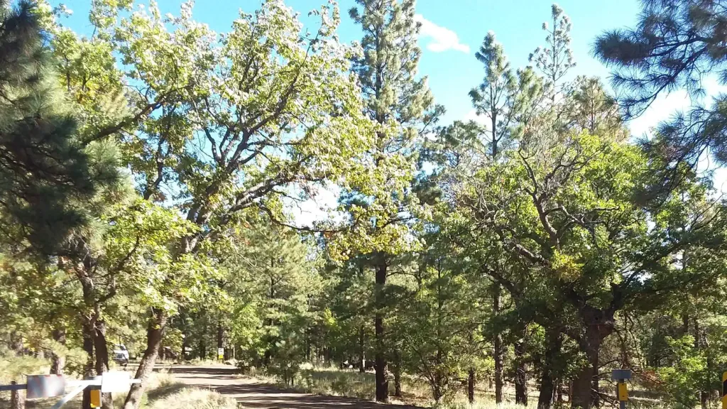
Lockett Meadow Campground
Campground
Campground · 3.9 mi from the trail
 Photo: Flegar, CC BY-SA 3.0 (via Wikimedia Commons)
Alert in the area
The Forest Service lists 5 alerts for Coconino National Forest.
West Fork Temporary Area Closure - Extension to 2/27/27
Agency alert covering Coconino National Forest · Order 03-04-00-26-09 · USFS · Coconino National Forest
Temporary Closure for West Wing Pile Burn
Agency alert covering Flagstaff Ranger District · Order 03-04-08-26-08 · USFS · Flagstaff Ranger District
Newman Park Pile Burn
Agency alert covering Flagstaff Ranger District · USFS · Flagstaff Ranger District
Kachina Village and Pumphouse Wash Camping and Campfire Restrictions
Agency alert covering Flagstaff Ranger District · Order 03-04-08-25-02 · USFS · Flagstaff Ranger District
Flagstaff-area camping and campfire restrictions in effect year-round
Agency alert covering Flagstaff Ranger District · Order 03-04-08-25-01 · USFS · Flagstaff Ranger District
As of · Source: USFS · Coconino National Forest. Agencies don't list every closure — check before you go.
Agassiz Peak is a summit of about 12,355 feet in Coconino County, Arizona, inside the Kachina Peaks Wilderness. It lies within the Flagstaff Ranger District of Coconino National Forest, which the Forest Service manages, and the nearest town is Fort Valley, about 3.5 miles away. The peak sits in designated wilderness, so plan around the rules that apply there. The Humphreys Summit Trail #151 starts about 0.7 miles away, and the Inner Basin mountain biking area is about 0.6 miles off. Climbers can head to the North End and South End areas, each about 2 miles away.
Lockett Meadow Campground
Campground
Agassiz Lodge & Restaurant
Comfort food restaurant
Museum of Northern Arizona Research Center
Museum
Places © OpenStreetMap contributors, Places © Overture Maps Foundation
More in Kachina VillageDaily highs and lows, wind and the chance of precipitation at the summit for the next 7 days, from the Open-Meteo model.
Elevation from USGS 3D Elevation Program terrain data (about 10 m resolution).
We don't know of a mapped trail or route to the summit of Agassiz Peak. Plan the approach with local maps, a guidebook or a local guide, and check conditions before you go.
12,355 ft (3,766 m).
We don't know of a mapped trail or route to the summit. Plan the approach with local maps, a guidebook or a local guide.


 Inner BasinMountain bikingPhoto: Patty Ringle; Coconino National Forest, CC BY-SA 2.0 (via Wikimedia Commons)0.6 mi
 Humphreys Summit Trail #151HikingPhoto: Fredlyfish4 — Wikimedia Commons (CC BY-SA 3.0)0.7 mi
 KachinaMountain bikingPhoto: Brady Smith; Coconino National Forest, CC BY-SA 2.0 (via Wikimedia Commons)1.4 mi
 North EndRock climbingPhoto: raganmd, CC BY-SA 2.0 (via Flickr)2 miSouth EndRock climbingPhoto: raganmd, CC BY-SA 2.0 (via Flickr)2 miMiddle AreaRock climbingPhoto: raganmd, CC BY-SA 2.0 (via Flickr)2 mi
 Little Elden Springs HorsecampCampingPhoto: Recreation.gov (RIDB) / public domain6.3 mi
Source: Roamze catalog (indexable pages within 10 miles, PostGIS distance)
 Fremont PeakSummit · ~2 min drivePhoto: Alan English CPA from Scottsdale, Arizona 85254, USA, CC BY-SA 2.0 (via Wikimedia Commons)Doyle PeakSummit · ~3 min drivePhoto: Alan English CPA from Scottsdale, Arizona 85254, USA, CC BY-SA 2.0 (via Wikimedia Commons)O'Leary PeakSummit · ~17 min drivePhoto: Jstuby at English Wikipedia, Public domain (via Wikimedia Commons)
 Kendrick PeakSummit · ~19 min drivePhoto: Chris Jones, CC BY-SA 2.5 (via Wikimedia Commons)
 Cinder HillsSummit · ~22 min drivePhoto: Clyde Charles Brown, CC BY-SA 4.0 (via Wikimedia Commons)
 Red MountainSummit · ~30 min drivePhoto: Brady Smith; Coconino National Forest, CC BY-SA 2.0 (via Wikimedia Commons)
 Wilson MountainSummit · ~49 min drivePhoto: Deborah Lee Soltesz, CC0 (via Wikimedia Commons)
 Capitol ButteSummit · ~53 min drivePhoto: Eric Johnson, CC BY-SA 3.0 (via Wikimedia Commons)
 Bell RockSummit · ~1h 3m drivePhoto: Josep Renalias, CC BY-SA 3.0 (via Wikimedia Commons)
 Red ButteSummit · ~1h 11m drivePhoto: Curtis Clark, CC BY-SA 2.5 (via Wikimedia Commons)
Also worth it near here
Inner BasinMountain biking · ~1 min drivePhoto: Patty Ringle; Coconino National Forest, CC BY-SA 2.0 (via Wikimedia Commons)South EndRock climbing · ~3 min drivePhoto: raganmd, CC BY-SA 2.0 (via Flickr) Arizona Trail-Snow Bowl ConnectorHiking · ~4 min drivePhoto: Coconino NF Photography, Public Domain Mark (via Flickr)
