Hart's Prairie
Campground
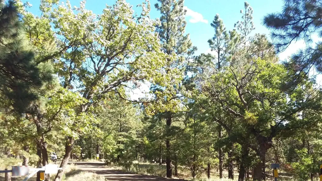
Campground · 4.5 mi from the trail
 Photo: Coconino NF Photography, Public Domain Mark (via Flickr)
Alert in the area
The Forest Service lists 5 alerts for Coconino National Forest.
West Fork Temporary Area Closure - Extension to 2/27/27
Agency alert covering Coconino National Forest · Order 03-04-00-26-09 · USFS · Coconino National Forest
Temporary Closure for West Wing Pile Burn
Agency alert covering Flagstaff Ranger District · Order 03-04-08-26-08 · USFS · Flagstaff Ranger District
Newman Park Pile Burn
Agency alert covering Flagstaff Ranger District · USFS · Flagstaff Ranger District
Kachina Village and Pumphouse Wash Camping and Campfire Restrictions
Agency alert covering Flagstaff Ranger District · Order 03-04-08-25-02 · USFS · Flagstaff Ranger District
Flagstaff-area camping and campfire restrictions in effect year-round
Agency alert covering Flagstaff Ranger District · Order 03-04-08-25-01 · USFS · Flagstaff Ranger District
As of · Source: USFS · Coconino National Forest. Agencies don't list every closure — check before you go.
The Arizona Trail-Snow Bowl Connector is an easy, short out-and-back hike in the Flagstaff Ranger District of Coconino National Forest, about 0.56 miles long. It runs from a low point at 9,096 feet to a high point at 9,295 feet, with a front-loaded climb that peaks around 0.4 miles in at about 9% grade. The whole route covers roughly 1.1 miles, with a total elevation gain of 341 feet. The hike is an easy way to break up a longer day on the Arizona Trail or as a short outing close to Flagstaff. Start at the lower end and turn around when you reach the top, which sits just shy of 9,300 feet. Nearby, the Aspen Nature Loop is 0.2 miles away and the Kachina Trail #150 is 0.4 miles away. Humphreys Peak is 0.6 miles off, and the climbing at Viet Springs is about 1.7 miles away.
Hart's Prairie
Campground
Agassiz Lodge & Restaurant
Comfort food restaurant
Museum of Northern Arizona Research Center
Museum
Places © OpenStreetMap contributors, Places © Overture Maps Foundation
More in Kachina VillageNot on Roamze yet. Their page has how to reach them.
Aspen Nature LoopHikingPhoto: Coconino NF Photography, Public Domain Mark (via Flickr)0.2 mi North EndRock climbingPhoto: raganmd, CC BY-SA 2.0 (via Flickr)1.8 miSouth EndRock climbingPhoto: raganmd, CC BY-SA 2.0 (via Flickr)1.8 mi
 Little Elden Springs HorsecampCampingPhoto: Recreation.gov (RIDB) / public domain8.4 mi
Source: Roamze catalog (indexable pages within 10 miles, PostGIS distance)
Aspen Nature LoopHiking · Next doorPhoto: Coconino NF Photography, Public Domain Mark (via Flickr) Rocky MotoHiking · ~7 min drivePhoto: InSapphoWeTrust from Los Angeles, California, USA, CC BY-SA 2.0 (via Wikimedia Commons)
 Inner Basin Trail #29Hiking · ~8 min drivePhoto: Coconino NF Photography, Public Domain Mark (via Flickr)
 Domingo Tank TrailHiking · ~2 min drivePhoto: Coconino NF Photography, Public Domain Mark (via Flickr)
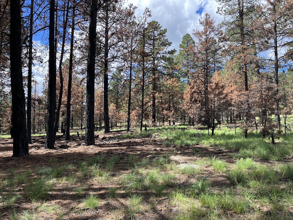 SecretHiking · ~8 min drivePhoto: Coconino NF Photography, Public Domain Mark (via Flickr)
 Ricochet TrailHiking · ~8 min drivePhoto: Coconino NF Photography, Public Domain Mark (via Flickr)
 Veit Spring TrailHiking · ~3 min drivePhoto: Coconino NF Photography, CC BY-SA 2.0 (via Flickr)
 Spring Mountain TrailHiking · ~8 min drivePhoto: Coconino NF Photography, Public Domain Mark (via Flickr)
Also worth it near here
Map and trail data © OpenStreetMap contributors

