Mountain · 1 route
Little Elden Mountain
9,001 ft · Arizona
- Summit
- 9,001 ft
- Routes
- 1 way up
Route up Little Elden Mountain
About Little Elden Mountain
Little Elden Mountain is a summit in Arizona's Coconino National Forest, within the Flagstaff Ranger District. The nearest town is Timberline-Fernwood, about 4 miles away. That road matters if you plan to camp at Lockett Meadow Campground. The mountain sits close to several other spots. Mt. Elden Crags, a climbing area, is less than half a mile away. The Arizona Trail-Little Elden and Upper Sunset Trail mountain biking routes are each about half a mile off. Little Elden Springs Horsecamp is roughly 0.7 miles away, and Lockett Meadow Campground is about 6 miles farther out.
Forecast on Little Elden Mountain
Daily highs and lows, wind and the chance of precipitation at the summit and route start for the next 7 days, from the Open-Meteo model.
Questions about Little Elden Mountain
How tall is Little Elden Mountain?
9,001 ft (2,744 m).
How many routes go to the summit of Little Elden Mountain?
One: Mount Elden Summit Trail.
Mountains nearby
- Dry Lake Hills8,829 ft · Arizona1 route0.7 mi away
- Elden Mountain9,303 ft · Arizona2 routes1.9 mi away
- Devils Head9,133 ft · Arizona2 routes2.0 mi away
 Humphreys Peak12,632 ft · Arizona2 routes7.0 mi awayPhoto: Bob Blasi; Coconino National Forest, CC BY-SA 2.0 (via Wikimedia Commons)
 O'Leary Peak8,918 ft · Arizona1 route9.9 mi awayPhoto: Jstuby at English Wikipedia, Public domain (via Wikimedia Commons)
- Anderson Mesa7,241 ft · Arizona1 route15 mi away
Facts about this place
Where it is
- Flagstaff Ranger District · Ranger district
- Coconino National Forest · National forest
- Nearest town
- Timberline-Fernwood, Arizona · 4.2 mi
Conditions
Active alerts for Flagstaff Ranger District as of Oct 9, 2026:
Walker Hill area temporary closure for pile burns
critical · posted Oct 9, 2026
O'Leary access restricted; NPS Road 545 closed between SR 89 and Sunset Crater
information · posted Sep 25, 2026
Occupancy and Use Prohibition: San Francisco Peaks Alpine Tundra and Inner Basin Restrictions
information · posted Aug 24, 2026
Lake Mary Restrictions in Effect
information · posted Aug 24, 2026
Kachina Village and Pumphouse Wash Camping and Campfire Restrictions
fire-restriction · posted Aug 24, 2026
Flagstaff-area camping and campfire restrictions in effect year-round
fire-restriction · posted Aug 24, 2026
Lockett Meadow Road (Forest Road 552) temporarily closed
information · posted Aug 24, 2026
Source: USFS forest alerts
Nearby
- Mt. Elden CragsRock climbing0.4 mi
- Legion BoulderRock climbing0.5 mi
 Upper Sunset TrailMountain bikingPhoto: Coconino National Forest, CC0 (via Wikimedia Commons)0.5 mi
 Arizona Trail-Little EldenMountain bikingPhoto: Coconino National Forest, CC BY-SA 2.0 (via Wikimedia Commons)0.5 mi
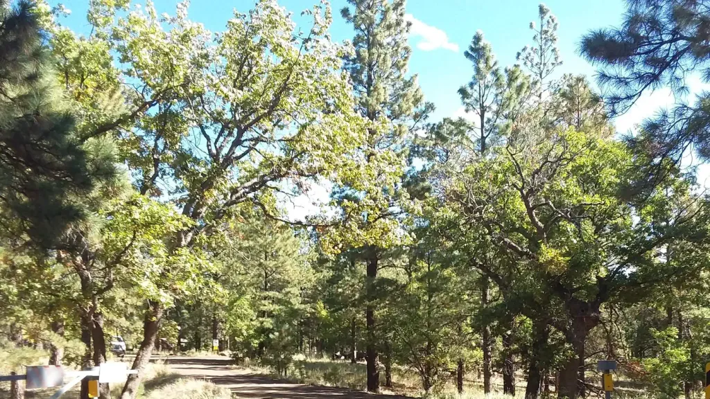 Little Elden Springs HorsecampCampingPhoto: Recreation.gov (RIDB) / public domain0.7 mi
- Lockett Meadow CampgroundCamping6.3 mi
- Flagstaff Ranger DistrictLake fishing7.6 mi
 Walnut CreekCanoeingPhoto: Llrice1240, CC BY-SA 3.0 (via Wikimedia Commons)9.4 mi
Source: Roamze catalog (indexable pages within 10 miles, PostGIS distance)
Is Little Elden Mountain open right now?
Closure in the area
There's a closure order in Flagstaff Ranger District. It doesn't name Little Elden Mountain, so check the source for the area it covers (2 listed).
Extension- O'Leary access restricted; NPS Road 545 closed between SR 89 and Sunset Crater
Agency closure covering Flagstaff Ranger District · Order 03-04-08-26-06 · USFS · Flagstaff Ranger District
West Fork Temporary Area Closure - Extended
Agency closure covering Coconino National Forest · Order 03-04-00-26-007 · USFS · Coconino National Forest
Temporary Closure for West Wing Pile Burn
Agency alert covering Flagstaff Ranger District · Order 03-04-08-26-08 · USFS · Flagstaff Ranger District
Newman Park Pile Burn
Agency alert covering Flagstaff Ranger District · USFS · Flagstaff Ranger District
Kachina Village and Pumphouse Wash Camping and Campfire Restrictions
Agency alert covering Flagstaff Ranger District · Order 03-04-08-25-02 · USFS · Flagstaff Ranger District
As of · Source: USFS · Flagstaff Ranger District. Agencies don't list every closure — check before you go.
