Tiyo Point Trail
- 12.6 mi
- round trip
- 494 ft
- climb
- 8,331 ft
- high point
- Out and back
- route
- May–Oct
- best months
Is Tiyo Point Trail open right now?
Closure in the area
There's a closure order in Grand Canyon National Park. It doesn't name Tiyo Point Trail, so check the source for the area it covers.
INNER CANYON TRAIL CLOSURES
Park closure covering Grand Canyon National Park · NPS · Grand Canyon National Park
Overnight Lodging Suspended and Parkwide Stage 4 Water Restrictions
Park alert covering Grand Canyon National Park · NPS · Grand Canyon National Park
INNER CANYON WATER SHUTOFFS
Park alert covering Grand Canyon National Park · NPS · Grand Canyon National Park
Critical Backcountry Updates/Closures
Park alert covering Grand Canyon National Park · NPS · Grand Canyon National Park
As of · Source: NPS · Grand Canyon National Park. Agencies don't list every closure — check before you go.
Tiyo Point Trail is a 12.6-mile out-and-back hike in Grand Canyon National Park, Arizona, on land managed by the National Park Service. The trail runs from a low point of about 7,779 feet to a high point of about 8,331 feet at Tiyo Point, a gain of roughly 500 feet. The most comfortable months for a visit are typically June through September, when typical highs at a nearby weather station run in the low to mid 70s and July averages the warmest, about 77°F. Winter is cold, with typical highs in the mid to upper 30s from December through February. The trail is a hard route. A fee is charged, and bikes are not allowed. Widforss Point and the Widforss Trail lie about 3 miles away, and the Arizona Trail is about 3.4 miles off. North Rim Campground (AZ) is about 3.9 miles away.
Local outfitters
- Buck Wild Hummer Tours19 mi away
- Wander Camp35 mi away
Not on Roamze yet. Their page has how to reach them.
 Widforss PointHikingPhoto: Grand Canyon National Park, CC BY 2.0 (via Wikimedia Commons)3.1 mi
- Widforss TrailHikingPhoto: Grand Canyon National Park, CC BY 2.0 (via Wikimedia Commons)3.1 mi
- Arizona TrailHikingPhoto: Grand Canyon National Park, CC BY 2.0 (via Wikimedia Commons)3.4 mi
 Transept Trail Intersection with Bridle Path by AZ SR67HikingPhoto: Yssso, CC BY-SA 2.0 (via Flickr)3.7 mi
- Ken Patrick TrailHiking3.8 mi
- North Rim Campground (AZ)Camping3.9 mi
 Grand Canyon National ParkRock climbingPhoto: brewbooks from near Seattle, USA, CC BY-SA 2.0 (via Wikimedia Commons)8 mi
 UnconventionalsRock climbingPhoto: brewbooks from near Seattle, USA, CC BY-SA 2.0 (via Wikimedia Commons)8.2 mi
Source: Roamze catalog (indexable pages within 10 miles, PostGIS distance)
- Widforss PointHiking · ~5 min drivePhoto: Grand Canyon National Park, CC BY 2.0 (via Wikimedia Commons)
- Arizona TrailHiking · ~6 min drivePhoto: Grand Canyon National Park, CC BY 2.0 (via Wikimedia Commons)
- Transept Trail Intersection with Bridle Path by AZ SR67Hiking · ~6 min drivePhoto: Yssso, CC BY-SA 2.0 (via Flickr)
 Point Sublime TrailHiking · ~9 min drivePhoto: Patrick Nouhailler from Suisse, CC BY-SA 2.0 (via Wikimedia Commons)
 Old Bright Angel TrailHiking · ~11 min drivePhoto: Robert Anders, CC BY 2.0 (via Flickr)
- Widforss TrailHiking · ~5 min drivePhoto: Grand Canyon National Park, CC BY 2.0 (via Wikimedia Commons)
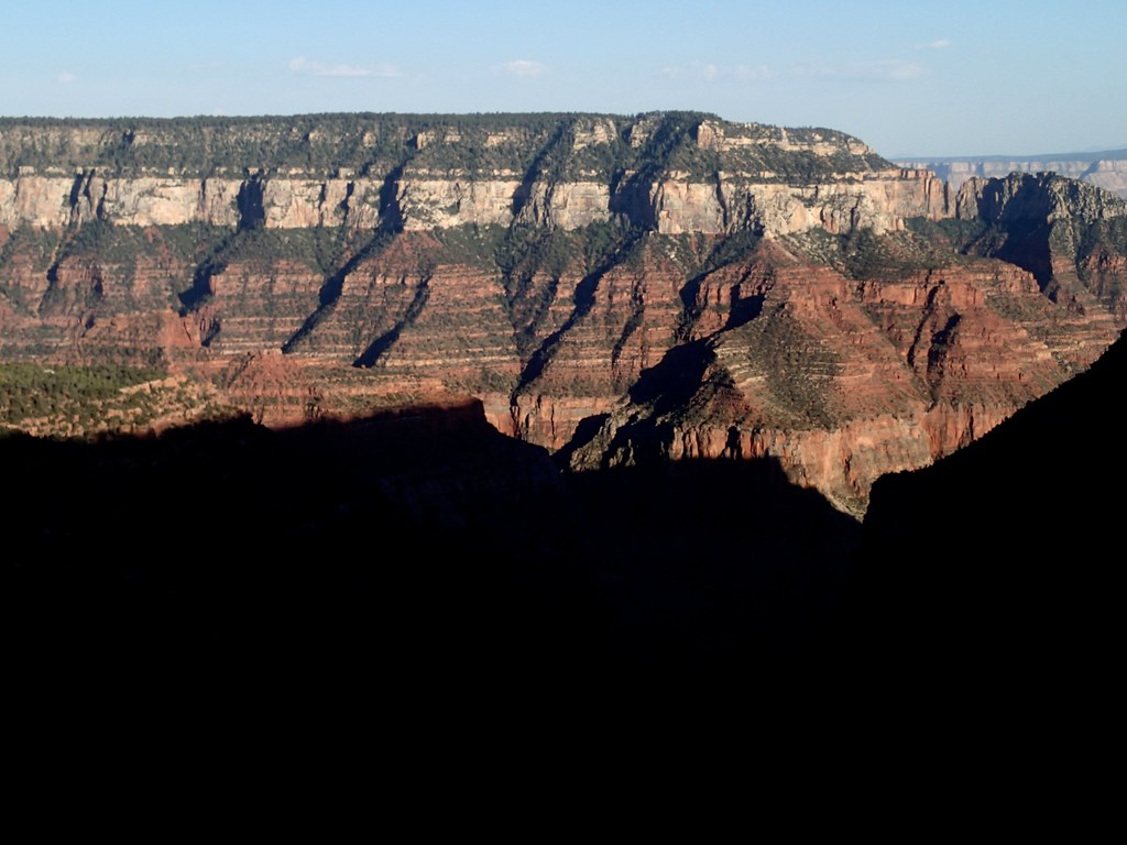 Uncle Jim TrailHiking · ~7 min drivePhoto: cogdogblog, CC BY 2.0 (via Flickr)
 Bridle Path (North End)Hiking · ~7 min drivePhoto: Yssso, CC BY-SA 2.0 (via Flickr)
 Arizona TrailHiking · ~11 min drivePhoto: Frans-Banja Mulder, CC BY 3.0 (via Wikimedia Commons)
- Saddle Mountain Trail #31Hiking · ~18 min drive
Also worth it near here
Best time to visit Tiyo Point Trail
Best months: May–October. Best months have typical highs of 55–85 °F, lows of 30 °F or warmer (32 °F where the station doesn't record snow), at most one snowy day and no more than 12 wet days.
Jan
36° / 18°
7 wet
Feb
37° / 19°
7 wet
Mar
44° / 23°
6 wet
Apr
52° / 28°
4 wet
May
62° / 36°
4 wet
Jun
73° / 43°
3 wet
Jul
77° / 49°
8 wet
Aug
74° / 48°
11 wet
Sep
67° / 42°
7 wet
Oct
56° / 33°
5 wet
Nov
45° / 24°
5 wet
Dec
36° / 17°
6 wet
Typical high / low (°F) and days with rain or snow, 1991–2020. Measured at Bright Angel Rs, AZ, 3.7 mi away at 8,000 ft. This station doesn't record snowfall. Source: NOAA NCEI U.S. Climate Normals 1991–2020.

Map and trail data © OpenStreetMap contributors
