

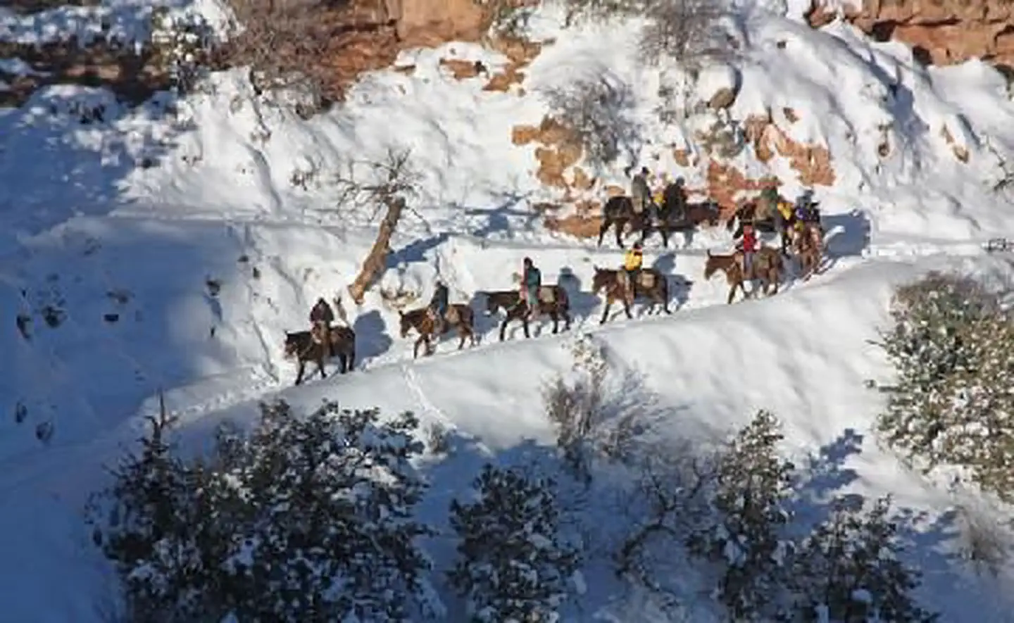
Buck Wild Hummer Tours
Hiking business nearby (~20 mi away) — hasn't claimed their Roamze page yet
Free — you'll pick up right here.
Watch this trail
Sign up to watch it — saving subscribes you to gate, closure and report changes.
Arizona
17.1 mi
Distance
930 ft
Gain
6h 10m
Time
We won't guess. Here is exactly what we do and don't know.
What we do know
Inside Grand Canyon National Park
National Park unit boundary is mapped — agency alerts for it feed this page automatically.
Boundary data
What's missing
No access route mapped
We don't yet know which road reaches this trailhead, so we can't tell you if it's gated.
Nobody's filed a report here yet — be the first.
Why you'll love it
Point Sublime Trail
AI-suggested draft · review before you go
No permit or access details on file for this trail — check with the local land manager before you go.
Point Sublime Trail is a 17.1-mile lollipop loop located in Arizona. The route features 930 feet of elevation gain, making it a moderately challenging day hike for those with solid endurance. The lollipop design means hikers will travel out on an initial stem section before reaching the loop portion, then return via the same outbound route. This trail structure allows for a scenic destination point before the loop section, followed by varied terrain on the return. With nearly 17 miles to cover, this hike requires proper preparation including adequate water, sun protection, and reliable footwear. The elevation gain is distributed throughout the route rather than concentrated in one section, providing a steady workout across the entire hike. Point Sublime Trail is best suited for intermediate to experienced hikers comfortable with longer distances. Conditions and seasonality in the Arizona region should be considered before planning your visit, as desert heat and exposure can impact hiking difficulty.
Bridle Path (South End)
~15 min drive
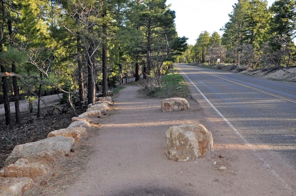
The Bridal Path follows the road (AZ 67) and connects the large parking area of the former Grand Canyon Lodge with the North Kaibab Trailhead. It is 1.6 miles (2.6 km) one-way; allow one hour. There is minimal elevation gain. Pets on a leash, stock use, and bicycles are permit…
Tiyo Point Trail
~9 min drive
13 mi · Hard
Widforss Trail
~13 min drive
9.3 mi · Moderate
Dog Saddle
~15 min drive
An easy 7.23-mile out-and-back trail in Arizona with dirt and gravel surfaces, perfect for hikers seeking a straightforward desert experience.
Widforss Point
~13 min drive
Out-and-back North Rim hike through forest to canyon viewpoint.
South Bass Trail
~14 min drive
14 mi · Hard
Powell Plateau Trail
~17 min drive
6.7 mi · Moderate
Uncle Jim Trail
~15 min drive
4.8 mi · Easy
Arizona Trail
~14 min drive
A brief 0.62-mile out-and-back trail in Arizona that links to Passage 42 of the Arizona Trail system.
Ken Patrick Trail
~15 min drive
19 mi · Hard
Local operatorsoffering guided trips. You book directly with them — Roamze doesn’t take a cut.
Buck Wild Hummer Tours
Hiking business nearby (~20 mi away) — hasn't claimed their Roamze page yet
Wander Camp
Hiking business nearby (~36 mi away) — hasn't claimed their Roamze page yet