Uncle Jim Trail
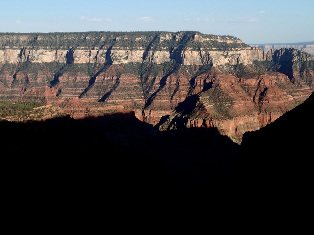 Photo: cogdogblog, CC BY 2.0 (via Flickr)
- 4.8 mi
- round trip
- 134 ft
- climb
- 8,465 ft
- high point
- Out and back
- route
- May–Oct
- best months
Clear today
Weather is good · OpenWeather · checked 6 h ago
Is Uncle Jim Trail open right now?
Closure in the area
There's a closure order in Grand Canyon National Park. It doesn't name Uncle Jim Trail, so check the source for the area it covers.
INNER CANYON TRAIL CLOSURES
Park closure covering Grand Canyon National Park · NPS · Grand Canyon National Park
Overnight Lodging Suspended and Parkwide Stage 4 Water Restrictions
Park alert covering Grand Canyon National Park · NPS · Grand Canyon National Park
INNER CANYON WATER SHUTOFFS
Park alert covering Grand Canyon National Park · NPS · Grand Canyon National Park
Critical Backcountry Updates/Closures
Park alert covering Grand Canyon National Park · NPS · Grand Canyon National Park
As of · Source: NPS · Grand Canyon National Park. Agencies don't list every closure — check before you go.
Uncle Jim Trail is an easy, out-and-back hike of about 4.8 miles in Grand Canyon National Park, on land managed by the National Park Service in Arizona. The trail starts and ends at roughly 8,233 feet and rises to about 8,465 feet, so it is a gentle climb of about 134 feet, best suited for a day of walking rather than a big adventure. Summer is the most comfortable time to go. Typical averages from a nearby weather station at Bright Angel show July highs around 77°F with lows near 49°F, while winter highs stay in the mid-30s. That station sits about 465 feet lower than the trail's high point, so temperatures on the trail run slightly cooler. A fee is charged for the hike. Dogs are not allowed, but horses are. Bikes are off-limits. The trail network around it is rich. Ken Patrick Trail lies about 0.7 miles away, the Arizona Trail about 0.8 miles, and North Rim Campground (AZ) about 1.3 miles. Climbers can find Grand Canyon National Park's climbing area about 4.6 miles off.
Local outfitters
- Buck Wild Hummer Tours18 mi away
- Wander Camp33 mi away
Not on Roamze yet. Their page has how to reach them.
Best time to go · May–Oct
Best time to visit Uncle Jim Trail
Best months: May–October. Best months have typical highs of 55–85 °F, lows of 30 °F or warmer (32 °F where the station doesn't record snow), at most one snowy day and no more than 12 wet days.
Jan
36° / 18°
7 wet
Feb
37° / 19°
7 wet
Mar
44° / 23°
6 wet
Apr
52° / 28°
4 wet
May
62° / 36°
4 wet
Jun
73° / 43°
3 wet
Jul
77° / 49°
8 wet
Aug
74° / 48°
11 wet
Sep
67° / 42°
7 wet
Oct
56° / 33°
5 wet
Nov
45° / 24°
5 wet
Dec
36° / 17°
6 wet
Typical high / low (°F) and days with rain or snow, 1991–2020. Measured at Bright Angel Rs, AZ, 1.1 mi away at 8,000 ft. This station doesn't record snowfall. Source: NOAA NCEI U.S. Climate Normals 1991–2020.
Keep exploring — more trails worth the drive
 Photo: Grand Canyon National Park, CC BY 2.0 (via Wikimedia Commons)
Arizona Trail
~1 min drive
A brief 0.62-mile out-and-back trail in Arizona that links to Passage 42 of the Arizona Trail system.
 Photo: Yssso, CC BY-SA 2.0 (via Flickr)
Bridle Path (North End)
~1 min drive
Starting from the North Kaibab Trailhead, the trail heads south, following the road (SR 67) for 1.6 miles (2.6 km) - until it reaches the parking lot of the former Grand Canyon lodge - the only available parking for oversized vehicles. Allow one hour each way. From the South K…
Photo: Grand Canyon National Park, CC BY 2.0 (via Wikimedia Commons)Widforss Trail
~2 min drive
9.29-mile out-and-back hike in Arizona with 229 ft gain
 Photo: Robert Anders, CC BY 2.0 (via Flickr)
Old Bright Angel Trail
~5 min drive
10.08-mile out-and-back hike on the historic Bright Angel Trail in Arizona's Grand Canyon, gaining 3,970 feet.
 Photo: RuggyBearLA, CC BY 2.0 (via Flickr)
Walhalla Glades Trail
~8 min drive
14.51-mile out-and-back hike in Arizona with 1,103 ft gain.
 Photo: tsaiproject, CC BY 2.0 (via Flickr)
Nature Trail
~3 min drive
0.65-mile out-and-back hike in Arizona with 59 ft of elevation gain.
 Photo: Yssso, CC BY-SA 2.0 (via Flickr)
Transept Trail Intersection with Bridle Path by AZ SR67
~2 min drive
With the exception of where it passes along the rim within the North Rim Campground, the Transept Trail is CLOSED - due to extensive fire damage. North Rim Visitors should plan ahead and be prepared for a more remote experience this year, with limited services available as th…
Photo: Grand Canyon National Park, CC BY 2.0 (via Wikimedia Commons)Widforss Point
~2 min drive
4.79-mile out-and-back trail in Arizona with 798 ft gain.
HIKE
Saddle Mountain Trail #31
~16 min drive
9.88-mile out-and-back hike in Arizona with 2,422 ft elevation gain and loss.
 Photo: deborah.soltesz, Public Domain Dedication (CC0) (via Flickr)
Saddle Mountain
~10 min drive
2.38-mile out-and-back trail at Saddle Mountain in Arizona with 624 ft gain.
Also worth it near here


Map and trail data © OpenStreetMap contributors
