Goldfield Camp
Campground
Campground · 2.7 mi from the trail
 Photo: The3dStudioDotCom, CC BY-SA 3.0 (via Wikimedia Commons)
Closure in the area
There's a closure order in Tonto National Forest. It doesn't name Siphon Draw Trail #53, so check the source for the area it covers.
Rattlesnake Cove Developed Recreation Site - Post Flood Recovery and Public Safety Closure
Agency closure covering Tonto National Forest · Order 3-12-01-26-36 · USFS · Tonto National Forest
Temporary Public Health and Safety Closure Granite Reef Recreation Site Area Closure
Agency alert covering Mesa Ranger District · Order 03-12-03-26-33 · USFS · Mesa Ranger District
Canyon Lake Drawdown Public Safety Closure
Agency alert covering Tonto National Forest · Order 03-12-00-26-22 · USFS · Tonto National Forest
No Fire Restrictions
Agency alert covering Tonto National Forest · USFS · Tonto National Forest
Lower Salt River Seasonal Bald Eagle Closures
Agency alert covering Mesa Ranger District · Order 03-12-03-24-65 · USFS · Mesa Ranger District
As of · Source: USFS · Tonto National Forest. Agencies don't list every closure — check before you go.
Siphon Draw Trail #53 is a short, easy hike in Arizona's Superstition Wilderness, part of the Mesa Ranger District of Tonto National Forest. The Forest Service manages the land, and the trail is an out-and-back that covers about 2.4 miles with a total elevation gain of 40 feet. The route starts at a low point of about 2,091 feet and reaches a high of about 4,695 feet. The Superstition Ridgeline Trail lies just 0.1 mile away, making it an easy addition to the day. Climbers will find the Siphon Draw and Motherlode climbing areas about 0.8 mile off, and the Siphon Draw Trail is about a mile away. For an overnight stay, Tortilla Campground is roughly 7 miles from the trail.
Goldfield Camp
Campground
Glass Blowers
Gallery
Places © OpenStreetMap contributors
More in SuperiorNot on Roamze yet. Their page has how to reach them.
Superstition Ridgeline TrailHikingPhoto: The3dStudioDotCom, CC BY-SA 3.0 (via Wikimedia Commons)0.1 mi Siphon DrawRock climbingPhoto: The3dStudioDotCom, CC BY-SA 3.0 (via Wikimedia Commons)0.8 mi
 The MotherlodeRock climbingPhoto: neepster, CC BY-SA 2.0 (via Wikimedia Commons)0.8 miForrest SpiresRock climbingPhoto: The3dStudioDotCom, CC BY-SA 3.0 (via Wikimedia Commons)0.9 mi
 Siphon Draw TrailHikingPhoto: The3dStudioDotCom, CC BY-SA 3.0 (via Wikimedia Commons)1 mi
Source: Roamze catalog (indexable pages within 10 miles, PostGIS distance)
Siphon Draw TrailHiking · ~2 min drivePhoto: The3dStudioDotCom, CC BY-SA 3.0 (via Wikimedia Commons) Prospectors Trail #57Hiking · ~2 min drivePhoto: dconvertini, CC BY-SA 2.0 (via Flickr)
 Massacre Falls TrailHiking · ~4 min drivePhoto: Dougtone, CC BY-SA 2.0 (via Wikimedia Commons)
 Jacob's CrosscutHiking · ~4 min drivePhoto: CWanamaker, CC BY 3.0 (via Wikimedia Commons)Monument Canyon TrailHiking · ~3 min drivePhoto: The3dStudioDotCom, CC BY-SA 3.0 (via Wikimedia Commons)
 Second Water TrailHiking · ~5 min drivePhoto: deborah.soltesz, Public Domain Dedication (CC0) (via Flickr)Jacobs CrosscutHiking · ~4 min drivePhoto: Dougtone, CC BY-SA 2.0 (via Wikimedia Commons)
 Treasure LoopHiking · ~4 min drivePhoto: Dougtone, CC BY-SA 2.0 (via Wikimedia Commons)
 Hieroglyphics Trail #101Hiking · ~5 min drivePhoto: zzkt, CC BY-SA 2.0 (via Flickr)
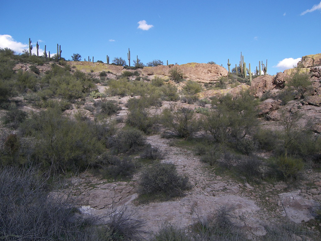 Grand Enchantment TrailHiking · ~5 min drivePhoto: deborah.soltesz, Public Domain Dedication (CC0) (via Flickr)
Map and trail data © OpenStreetMap contributors
