Primitive Campsite near Jacobs Crosscut (Tonto National Forest)
Campground
Campground · 1.5 mi from the trail
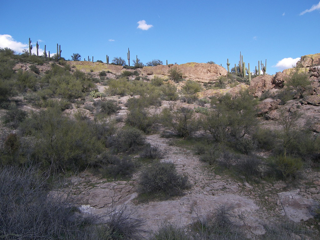 Photo: deborah.soltesz, Public Domain Dedication (CC0) (via Flickr)
Alert in the area
The Forest Service lists 5 alerts for Tonto National Forest.
Rattlesnake Cove Developed Recreation Site - Post Flood Recovery and Public Safety Closure
Agency alert covering Tonto National Forest · Order 3-12-01-26-36 · USFS · Tonto National Forest
Canyon Lake Drawdown Public Safety Closure
Agency alert covering Tonto National Forest · Order 03-12-00-26-22 · USFS · Tonto National Forest
No Fire Restrictions
Agency alert covering Tonto National Forest · USFS · Tonto National Forest
Lower Salt River Seasonal Bald Eagle Closures
Agency alert covering Mesa Ranger District · Order 03-12-03-24-65 · USFS · Mesa Ranger District
Roosevelt Lake Seasonal Wildlife Closure
Agency alert covering Tonto National Forest · Order 12-16-5 · USFS · Tonto National Forest
As of · Source: USFS · Tonto National Forest. Agencies don't list every closure — check before you go.
The Grand Enchantment Trail is a 2,075-mile out-and-back hike in Arizona's Tonto National Forest, on the Mesa Ranger District, managed by the Forest Service. It begins at the First Water trailhead and climbs from about 1,700 feet to a high point of 10,753 feet, with a total elevation gain of 8,649 feet. The route is rated hard, and bikes and horses are not allowed. The trail is a single long climb rather than a network of shorter segments. Its nearest neighbors are the Second Water Trail, about 0.3 miles away, and the Dutchman Trail and Hackberry Spring Trail, each roughly 0.4 miles off. Farther out, climbers can find The Iceberg about 2 miles away, and Tortilla Campground offers camping about 4.3 miles from the trailhead.
Primitive Campsite near Jacobs Crosscut (Tonto National Forest)
Campground
Trails End
Attraction
Places © OpenStreetMap contributors, Places © Overture Maps Foundation
More in SuperiorNot on Roamze yet. Their page has how to reach them.
 Second Water TrailHikingPhoto: deborah.soltesz, Public Domain Dedication (CC0) (via Flickr)0.3 miDutchman TrailHikingPhoto: deborah.soltesz, Public Domain Dedication (CC0) (via Flickr)0.4 miHackberry Spring TrailHikingPhoto: deborah.soltesz, Public Domain Dedication (CC0) (via Flickr)0.4 mi
 The IcebergRock climbingPhoto: Sean Foster, CC BY 3.0 (via Wikimedia Commons)2 miNorthwest PinnaclesRock climbingPhoto: Sean Foster, CC BY 3.0 (via Wikimedia Commons)2.1 mi
Source: Roamze catalog (indexable pages within 10 miles, PostGIS distance)
Second Water TrailHiking · Next doorPhoto: deborah.soltesz, Public Domain Dedication (CC0) (via Flickr)Dutchman TrailHiking · Next doorPhoto: deborah.soltesz, Public Domain Dedication (CC0) (via Flickr) Prospectors Trail #57Hiking · ~4 min drivePhoto: dconvertini, CC BY-SA 2.0 (via Flickr)
 Superstition Ridgeline TrailHiking · ~5 min drivePhoto: The3dStudioDotCom, CC BY-SA 3.0 (via Wikimedia Commons)
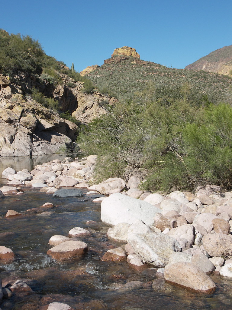 Battleship Mountain scrambleHiking · ~5 min drivePhoto: deborah.soltesz, Public Domain Dedication (CC0) (via Flickr)Hackberry Spring TrailHiking · Next doorPhoto: deborah.soltesz, Public Domain Dedication (CC0) (via Flickr)
 Quail Loop TrailHiking · ~4 min drivePhoto: Dougtone, CC BY-SA 2.0 (via Wikimedia Commons)
 Black Top Mesa TrailHiking · ~6 min drivePhoto: deborah.soltesz, Public Domain Dedication (CC0) (via Flickr)Jacobs CrosscutHiking · ~3 min drivePhoto: Dougtone, CC BY-SA 2.0 (via Wikimedia Commons)
 Treasure LoopHiking · ~4 min drivePhoto: Dougtone, CC BY-SA 2.0 (via Wikimedia Commons)
Map and trail data © OpenStreetMap contributors
