Goldfield Camp
Campground
Campground · 0.9 mi from the trail
 Photo: Dougtone, CC BY-SA 2.0 (via Wikimedia Commons)
Treasure Loop is an easy out-and-back hike in Arizona, about half a mile from the town of Youngberg. The route is 4.7 miles long, with a one-way climb of about 466 feet from a low point of 2,097 feet to a high of 2,630 feet. The most comfortable months for a visit are typically November and March, when typical averages from a nearby weather station run from highs around 76°F to 77°F and lows near 50°F. That station sits about 560 feet lower than the trail's high point, so temperatures on the loop run a little cooler. Quail Loop Trail is just 0.3 miles away, and Mountain Bike Trail is about half a mile off. Prospectors Trail #57 lies roughly 0.9 miles away. For climbing, Suction Gully is about 1.1 miles from the loop.
Goldfield Camp
Campground
Glass Blowers
Gallery
Places © OpenStreetMap contributors
More in SuperiorNot on Roamze yet. Their page has how to reach them.
Best months: November–April. Best months have typical highs of 55–85 °F, lows of 30 °F or warmer (32 °F where the station doesn't record snow), at most one snowy day and no more than 12 wet days.
Jan
67° / 43°
4 wet
Feb
70° / 44°
4 wet
Mar
77° / 48°
4 wet
Apr
85° / 53°
2 wet
May
93° / 60°
2 wet
Jun
103° / 69°
1 wet
Jul
105° / 77°
4 wet
Aug
104° / 76°
6 wet
Sep
99° / 71°
4 wet
Oct
88° / 60°
3 wet
Nov
76° / 50°
3 wet
Dec
66° / 42°
4 wet
Typical high / low (°F) and days with rain or snow, 1991–2020. Measured at Apache Junction 5 Ne, AZ, 0.3 mi away at 2,070 ft. The station sits about 600 ft lower than this place, so expect it a little cooler here. Source: NOAA NCEI U.S. Climate Normals 1991–2020.
 Photo: Dougtone, CC BY-SA 2.0 (via Wikimedia Commons)
Quail Loop Trail
Next door
0.68-mile loop in Arizona with 54 ft gain and 72 ft loss.
Photo: Dougtone, CC BY-SA 2.0 (via Wikimedia Commons)Massacre Falls Trail
~2 min drive
5.32-mile out-and-back trail in Arizona with 1,234 ft elevation gain and loss.
Photo: Dougtone, CC BY-SA 2.0 (via Wikimedia Commons)Jacobs Crosscut
~2 min drive
10.68-mile out-and-back trail in Arizona with 138 ft of elevation gain.
 Photo: The3dStudioDotCom, CC BY-SA 3.0 (via Wikimedia Commons)
Superstition Ridgeline Trail
~4 min drive
13.34-mile out-and-back trail in Arizona with 5,247 ft elevation gain.
 Photo: dconvertini, CC BY-SA 2.0 (via Flickr)
Prospectors Trail #57
~2 min drive
1.17-mile out-and-back trail in Arizona with 89 ft gain and 454 ft loss.
 Photo: deborah.soltesz, Public Domain Dedication (CC0) (via Flickr)
Second Water Trail
~4 min drive
6.50-mile out-and-back hike in Arizona with 193 ft of elevation gain.
 Photo: The3dStudioDotCom, CC BY-SA 3.0 (via Wikimedia Commons)
Siphon Draw Trail
~2 min drive
2.26-mile out-and-back trail in Arizona with 2,325 ft gain and 4,697 ft max elevation.
Photo: The3dStudioDotCom, CC BY-SA 3.0 (via Wikimedia Commons)Siphon Draw Trail #53
~4 min drive
2.42-mile out-and-back trail in Arizona with 40 ft of elevation gain.
 Photo: zzkt, CC BY-SA 2.0 (via Flickr)
Hieroglyphics Trail #101
~8 min drive
2.99-mile out-and-back trail in Arizona with 626 ft elevation loss.
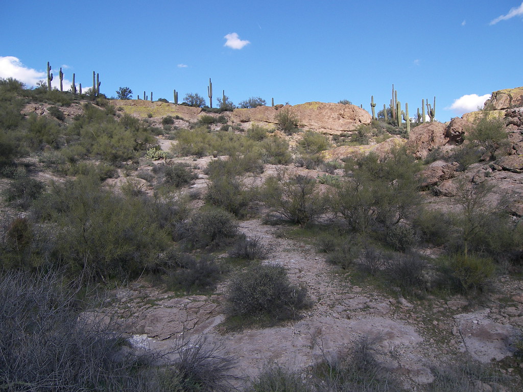 Photo: deborah.soltesz, Public Domain Dedication (CC0) (via Flickr)
Dutchman Trail
~4 min drive
18.65-mile point-to-point trail in Arizona with 978 ft elevation gain.
Map and trail data © OpenStreetMap contributors

