WHITE HORSE LAKE Campground
Campground
Campground · 5.4 mi from the trail
Caution today
Agency alerts are in effect for this area; weather is good · USFS, OpenWeather · checked 10 h ago
Closure in the area
There's a closure order in Kaibab National Forest. It doesn't name Scholz Lake, so check the source for the area it covers (3 listed).
Heavy storm damages received - use extreme caution
Agency closure covering Kaibab National Forest · USFS · Kaibab National Forest
Christmas tree permits available online beginning October 8
Agency closure covering Kaibab National Forest · USFS · Kaibab National Forest
Forest Road 354 on Kaibab & Prescott NF Temporarily Closed for Repairs
Agency closure covering Kaibab National Forest · Order 03-07-26-02 · USFS · Kaibab National Forest
As of · Source: USFS · Kaibab National Forest. Agencies don't list every closure — check before you go.
Scholz Lake is a short, easy hike in the Williams Ranger District of Arizona's Kaibab National Forest, managed by the Forest Service. The trail is about 0.27 miles long, with a total elevation gain of 4 feet, and it makes an out-and-back trip between a low point of 6,730 feet and a high of 6,752 feet. The route is natural-surfaced and allows bikes, and it is not an accessible trail. Parking is at a site named Scholz Lake, and the trail is open year-round. For comfortable weather, late spring and early fall are the best bets. Typical averages from a nearby weather station in Williams show May highs around 71°F and September highs around 76°F, while July and August bring the most wet days. Pomeroy Tanks Trail lies about 3.2 miles away, and Sycamore Rim and the climbing at Pillow Wall are each about 3.9 miles off. White Horse Lake Campground is about 5.4 miles away.
WHITE HORSE LAKE Campground
Campground
Mustang River Grill
Restaurant
Gems & Minerals Building
Museum
Places © OpenStreetMap contributors
More in Kachina VillageNot on Roamze yet. Their page has how to reach them.
 Pomeroy Tanks TrailHikingPhoto: Kaibab National Forest, CC BY-SA 2.0 (via Wikimedia Commons)3.2 miSycamore RimHikingPhoto: Kaibab National Forest, CC BY-SA 2.0 (via Wikimedia Commons)3.9 mi
 The Obsidian WallRock climbingPhoto: Kaibab National Forest, CC BY-SA 2.0 (via Wikimedia Commons)3.9 mi
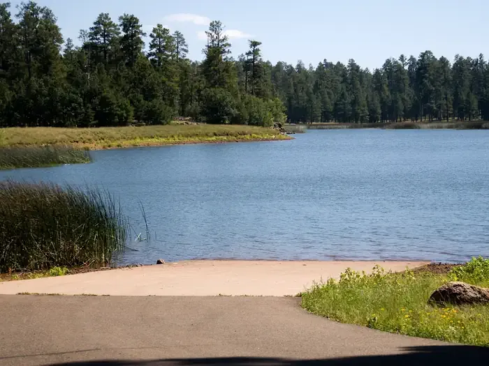 WHITE HORSE LAKE CampgroundCampingPhoto: Recreation.gov (RIDB) / public domain5.4 mi
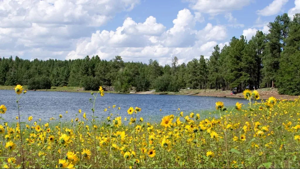 Dogtown Lake Campground and GroupCampingPhoto: Recreation.gov (RIDB) / public domain6.6 mi
Source: Roamze catalog (indexable pages within 10 miles, PostGIS distance)
Pomeroy Tanks TrailHiking · ~5 min drivePhoto: Kaibab National Forest, CC BY-SA 2.0 (via Wikimedia Commons) Davenport HillHiking · ~11 min drivePhoto: Kaibab National Forest Photography, CC BY 2.0 (via Flickr)
 Spring Mountain TrailHiking · ~25 min drivePhoto: Coconino NF Photography, Public Domain Mark (via Flickr)WhitehorseHiking · ~9 min drivePhoto: Kaibab National Forest, CC BY-SA 2.0 (via Wikimedia Commons)
 Little L.O. #6Hiking · ~16 min drivePhoto: deborah.soltesz, Public Domain Dedication (CC0) (via Flickr)
 Taylor CabinHiking · ~25 min drivePhoto: Coconino NF Photography, CC BY-SA 2.0 (via Flickr)
 Route 66 HikingHiking · ~10 min drivePhoto: inkknife_2000 (7.5 million views +), CC BY-SA 2.0 (via Wikimedia Commons)Kelsey Spring #3Hiking · ~16 min drivePhoto: deborah.soltesz, Public Domain Dedication (CC0) (via Flickr)Sycamore RimHiking · ~7 min drivePhoto: Kaibab National Forest, CC BY-SA 2.0 (via Wikimedia Commons)
Best months: May–October. Best months have typical highs of 55–85 °F, lows of 30 °F or warmer (32 °F where the station doesn't record snow), at most one snowy day and no more than 12 wet days.
Jan
47° / 21°
6 wet · 4 snow
Feb
49° / 23°
6 wet · 4 snow
Mar
56° / 27°
6 wet · 3 snow
Apr
62° / 31°
4 wet · 2 snow
May
71° / 39°
4 wet
Jun
82° / 48°
4 wet
Jul
84° / 54°
10 wet
Aug
82° / 52°
12 wet
Sep
76° / 47°
7 wet
Oct
67° / 36°
4 wet
Nov
56° / 28°
4 wet · 2 snow
Dec
47° / 21°
6 wet · 3 snow
Typical high / low (°F) and days with rain or snow, 1991–2020. Measured at Williams, AZ, 10.9 mi away at 6,909 ft. Source: NOAA NCEI U.S. Climate Normals 1991–2020.
