Taylor Cabin Line Camp
Campground
Campground · 2.4 mi from the trail
 Photo: Coconino NF Photography, CC BY-SA 2.0 (via Flickr)
Closure in the area
There's a closure order in Red Rock Ranger District. It doesn't name Taylor Cabin, so check the source for the area it covers (2 listed).
Red Rock Ranger District affected by severe flooding; many closures in effect
Agency closure covering Red Rock Ranger District · USFS · Red Rock Ranger District
Banjo Bill Picnic Area Closure
Agency closure covering Red Rock Ranger District · Order 03-04-06-25-01 · USFS · Red Rock Ranger District
West Fork Temporary Area Closure - Extension to 2/27/27
Agency alert covering Coconino National Forest · Order 03-04-00-26-09 · USFS · Coconino National Forest
West Sedona Camping and Campfire Restrictions
Agency alert covering Red Rock Ranger District · Order 03-04-06-26-04 · USFS · Red Rock Ranger District
Sedona/ Oak Creek Canyon Camping and Campfire Restrictions
Agency alert covering Red Rock Ranger District · Order 03-04-06-23-03 · USFS · Red Rock Ranger District
As of · Source: USFS · Red Rock Ranger District. Agencies don't list every closure — check before you go.
Taylor Cabin is a hard hike of about 5 miles in the Red Rock Ranger District of Coconino National Forest in Arizona, managed by the Forest Service. The trail is natural-surfaced and out-and-back, with a one-way climb of about 440 feet from roughly 4,500 feet to about 6,300 feet. Spring and fall are the most comfortable times to go. Typical averages from a nearby weather station run to highs around 69°F in May and 66°F in October, while July averages 83°F and August brings the most wet days of the year. Ott Lake #70A and Secret Mountain #109 are both within about 3 miles. Fernow Cabin, about 6 miles away, offers camping, and Whitetail Canyon, a climbing area, is about 6 miles off.
Taylor Cabin Line Camp
Campground
Places © OpenStreetMap contributors
More in Kachina VillageNot on Roamze yet. Their page has how to reach them.
Best months: May–July and September. Best months have typical highs of 55–85 °F, lows of 30 °F or warmer (32 °F where the station doesn't record snow), at most one snowy day and no more than 12 wet days.
Jan
46° / 17°
7 wet
Feb
47° / 19°
7 wet
Mar
53° / 23°
7 wet
Apr
60° / 27°
4 wet
May
69° / 34°
3 wet
Jun
79° / 40°
3 wet
Jul
83° / 49°
9 wet
Aug
81° / 50°
13 wet
Sep
76° / 41°
8 wet
Oct
66° / 31°
5 wet
Nov
54° / 22°
5 wet
Dec
46° / 16°
7 wet
Typical high / low (°F) and days with rain or snow, 1991–2020. Measured at Mund'S Park, AZ, 17.8 mi away at 6,470 ft. This station doesn't record snowfall. Source: NOAA NCEI U.S. Climate Normals 1991–2020.
 Photo: vaxomatic, CC BY 2.0 (via Flickr)
Mooney #12
~5 min drive
14 mi · Hard
 Photo: Coconino NF Photography, Public Domain Dedication (CC0) (via Flickr)
Hog Hill #133
~6 min drive
4.27-mile out-and-back trail in Arizona with 617 ft gain.
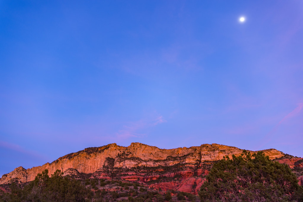 Photo: deborah.soltesz, Public Domain Dedication (CC0) (via Flickr)
Loy Canyon #5
~7 min drive
9.69-mile out-and-back trail in Arizona with 1,731 ft elevation gain.
 Photo: Coconino NF Photography, CC BY-SA 2.0 (via Flickr)
Casner Mountain
~9 min drive
13.77-mile out-and-back trail in Arizona with 2,046 ft elevation gain.
 Photo: deborah.soltesz, Public Domain Dedication (CC0) (via Flickr)
Robbers Roost Trail
~7 min drive
0.66-mile out-and-back hike in Arizona with 254 ft elevation gain.
 Photo: deborah.soltesz, Public Domain Dedication (CC0) (via Flickr)
Little L.O. #6
~10 min drive
1.63-mile out-and-back trail in Arizona with 324 ft elevation gain.
 Photo: Coconino NF Photography, CC BY-SA 2.0 (via Flickr)
Dogie
~9 min drive
10.39-mile out-and-back trail in Arizona with 150 ft gain.
 Photo: deborah.soltesz, Public Domain Dedication (CC0) (via Flickr)
Kelsey Spring Trail
~9 min drive
0.76-mile out-and-back hike to Kelsey Spring in Arizona with 337 ft of elevation gain.
Photo: deborah.soltesz, Public Domain Dedication (CC0) (via Flickr)Kelsey Spring #3
~11 min drive
5.07-mile lollipop trail with 257 ft gain in Arizona
HIKE
Bear Mountain #54
~13 min drive
4.56-mile out-and-back trail in Arizona with 1,865 ft elevation gain.

