

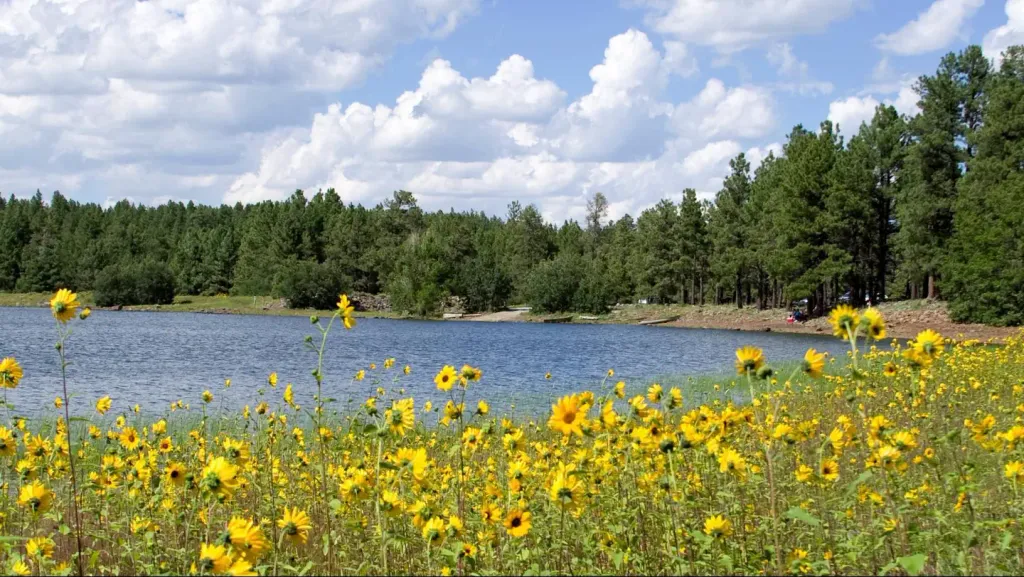
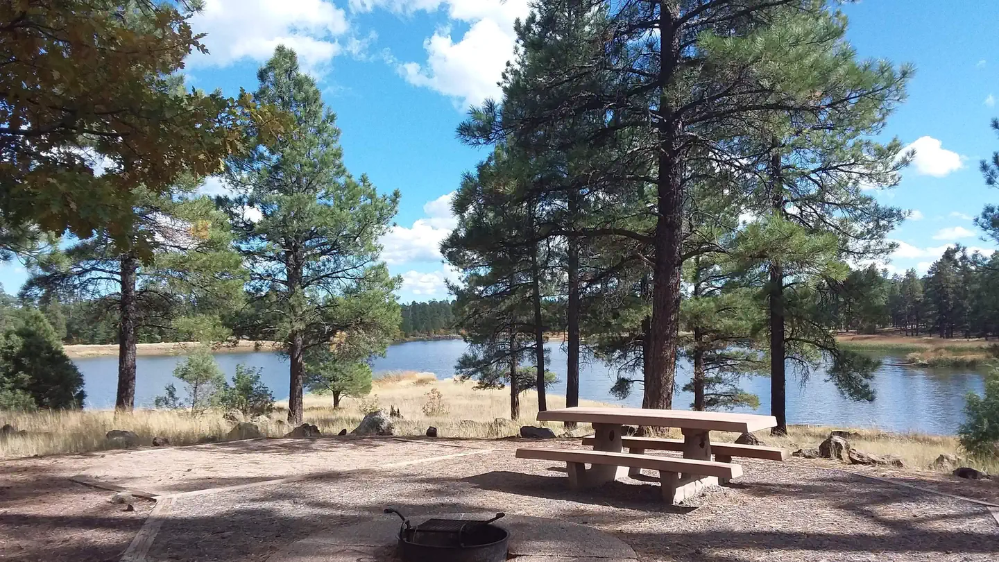
Village Camp
Hiking business nearby (~6 mi away) — hasn't claimed their Roamze page yet
Free — you'll pick up right here.
Watch this trail
Sign up to watch it — saving subscribes you to gate, closure and report changes.
Arizona
1.8 mi
Distance
107 ft
Gain
40 min
Time
We won't guess. Here is exactly what we do and don't know.
What we do know
Inside Kaibab National Forest
2 managing-area boundaries mapped — agency alerts for them feed this page automatically.
Boundary data
What's missing
No access route mapped
We don't yet know which road reaches this trailhead, so we can't tell you if it's gated.
Nobody's filed a report here yet — be the first.
Why you'll love it
Route 66 Hiking
AI-suggested draft · review before you go
No permit or access details on file for this trail — check with the local land manager before you go.
Route 66 Hiking is a short out-and-back trail located in Arizona that covers 1.8 miles with 107 feet of elevation gain. This accessible route makes it suitable for hikers of various skill levels seeking a quick outdoor experience. The modest elevation gain means minimal strain on knees and joints, making it an ideal choice for families or those looking for an easy walk. The trail's connection to Route 66 offers historical significance as it traverses terrain associated with America's iconic highway. With less than two miles of walking, this trail works well for those with limited time or those wanting to explore the Arizona landscape without committing to a longer hike. The gentle elevation profile combined with the short distance means most hikers can complete this trail in under an hour, leaving time for additional exploration in the area. The out-and-back format allows you to control your distance and turn back whenever desired.

Humphreys Summit Trail #151
~27 min drive
9.7 mi · Moderate
Keyhole Sink
~6 min drive
1.3 mi · Easy
Spring Valley Mtn. Bike
~9 min drive
14 mi · Hard
Arizona Trail-Fort Valley
~24 min drive
2.62-mile out-and-back trail in Arizona with 383 ft elevation gain.
Humphreys Peak
~25 min drive
Standard route to Humphreys Peak (12,633 ft) from Humphreys Trailhead (Arizona Snowbowl).
Davenport Hill
~18 min drive
5.5 mi · Moderate
Scholz Lake
~10 min drive
0.3 mi · Easy
Beale Wagon Road Historic Trail #61
~14 min drive
17 mi · Hard
Tr 87G
~27 min drive
0.42-mile out-and-back trail in Arizona with 83 ft elevation gain.
Pumpkin Trail #39
~20 min drive
8.9 mi · Moderate
Local operatorsoffering guided trips. You book directly with them — Roamze doesn’t take a cut.
Village Camp
Hiking business nearby (~6 mi away) — hasn't claimed their Roamze page yet
Four Season Guides
Hiking business nearby (~17 mi away) — hasn't claimed their Roamze page yet
Canyon Outfitters Sedona
Hiking business nearby (~29 mi away) — hasn't claimed their Roamze page yet