Nolan
Campground
Campground · 2.3 mi from the trail
 Photo: davidpinter, CC BY 3.0 (via Wikimedia Commons)
Closure in the area
There's a closure order in Red Rock Ranger District. It doesn't name Red Cliff #62, so check the source for the area it covers (2 listed).
Red Rock Ranger District affected by severe flooding; many closures in effect
Agency closure covering Red Rock Ranger District · USFS · Red Rock Ranger District
Banjo Bill Picnic Area Closure
Agency closure covering Red Rock Ranger District · Order 03-04-06-25-01 · USFS · Red Rock Ranger District
West Fork Temporary Area Closure - Extension to 2/27/27
Agency alert covering Coconino National Forest · Order 03-04-00-26-09 · USFS · Coconino National Forest
West Sedona Camping and Campfire Restrictions
Agency alert covering Red Rock Ranger District · Order 03-04-06-26-04 · USFS · Red Rock Ranger District
Sedona/ Oak Creek Canyon Camping and Campfire Restrictions
Agency alert covering Red Rock Ranger District · Order 03-04-06-23-03 · USFS · Red Rock Ranger District
As of · Source: USFS · Red Rock Ranger District. Agencies don't list every closure — check before you go.
Red Cliff #62 is an easy, out-and-back hike of about half a mile in the Red Rock Ranger District of Coconino National Forest in northern Arizona. The route rises about 135 feet from a low point of 4,737 feet to a high of 4,871 feet. It starts and ends within a short walk of the Palatki Ruins Loop #80 and the Red Cliff hike, so it pairs naturally with a visit to those trails. Spring and fall are the most comfortable times to go. Typical averages from the nearby Oak Creek Canyon weather station show April highs around 70°F and October highs around 74°F, while July highs reach about 90°F. The Palatki Ruins Loop #80 and its spur #80A are both about 0.1 mile away, and the Red Cliff hike is a similar distance. Climbers can find Fay Buttress about 1.7 miles away and Bear Mountain about 2 miles away.
Nolan
Campground
Places © OpenStreetMap contributors
More in Kachina VillageNot on Roamze yet. Their page has how to reach them.
Best months: March–May and September–November. Best months have typical highs of 55–85 °F, lows of 30 °F or warmer (32 °F where the station doesn't record snow), at most one snowy day and no more than 12 wet days.
Jan
54° / 30°
Feb
57° / 31°
Mar
64° / 35°
Apr
70° / 39°
May
78° / 46°
Jun
88° / 54°
Jul
90° / 61°
Aug
88° / 60°
Sep
84° / 54°
Oct
74° / 44°
Nov
63° / 36°
Dec
53° / 30°
Typical high / low (°F) and days with rain or snow, 1991–2020. Measured at Oak Creek Canyon, AZ, 8.9 mi away at 5,118 ft. This station doesn't record snowfall. Source: NOAA NCEI U.S. Climate Normals 1991–2020.
Photo: davidpinter, CC BY 3.0 (via Wikimedia Commons)Palatki Ruins Loop Spur #80A
Next door
0.50-mile out-and-back trail at Palatki Ruins Loop Spur #80A in Arizona.
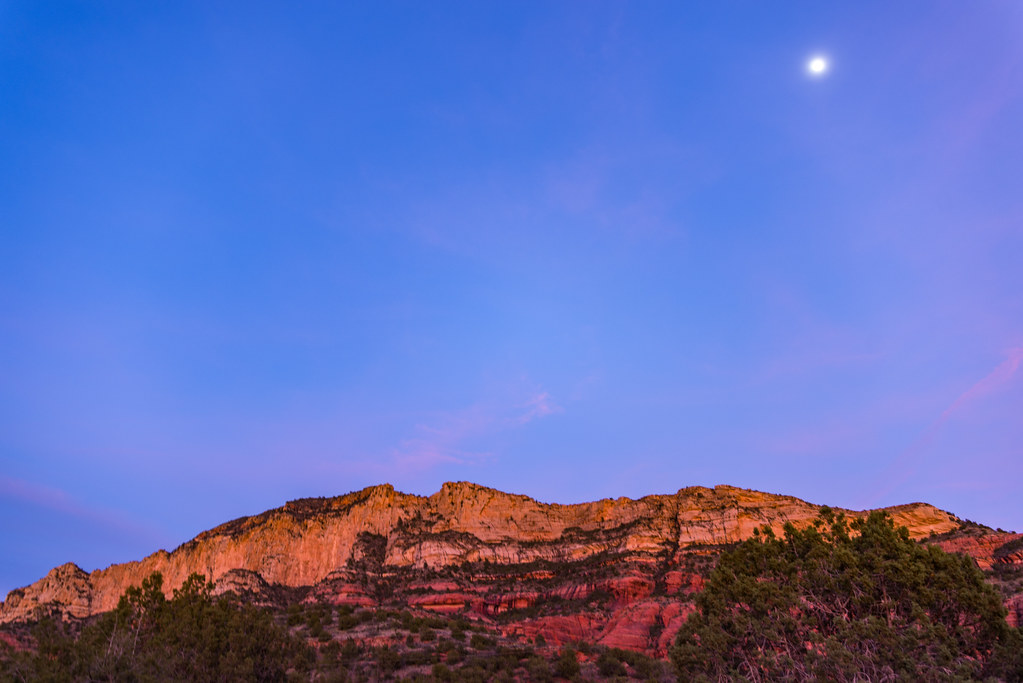 Photo: deborah.soltesz, Public Domain Dedication (CC0) (via Flickr)
Loy Canyon #5
~3 min drive
9.69-mile out-and-back trail in Arizona with 1,731 ft elevation gain.
HIKE
Bear Mountain #54
~4 min drive
4.56-mile out-and-back trail in Arizona with 1,865 ft elevation gain.
 Photo: Coconino NF Photography, Public Domain Mark (via Flickr)
Palatki Ruins Face #80B
Next door
0.06-mile lollipop trail at Palatki Ruins Face #80B in Arizona.
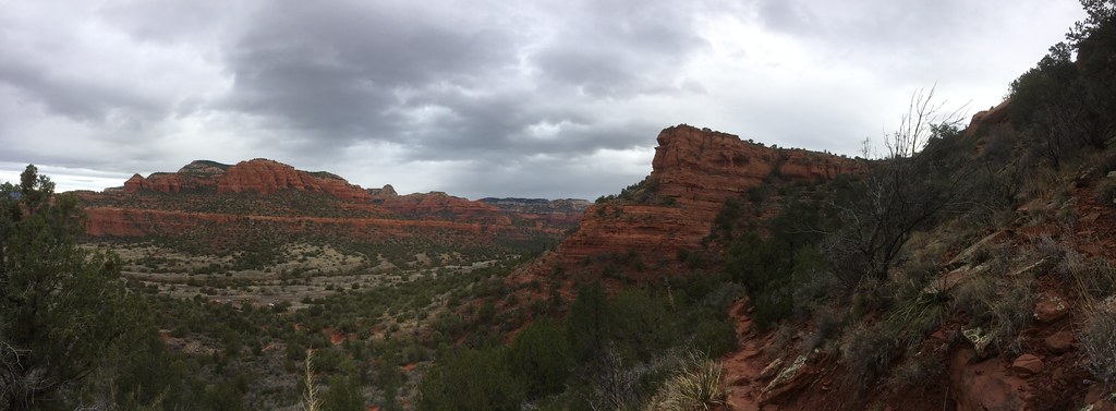 Photo: Chasqui (Luis Tamayo), CC BY-SA 2.0 (via Flickr)
Cockscomb #167
~5 min drive
6.96-mile out-and-back trail in Arizona with 157 ft elevation gain.
 Photo: vaxomatic, CC BY 2.0 (via Flickr)
Mooney #12
~5 min drive
14 mi · Hard
Photo: Chasqui (Luis Tamayo), CC BY-SA 2.0 (via Flickr)Doe Mountain
~5 min drive
Doe Mountain is a 1.46-mile out-and-back trail in Arizona with 448 ft of elevation gain.
 Photo: kevingenekelley, CC BY-SA 2.0 (via Flickr)
Boynton Canyon #47
~5 min drive
6.08-mile out-and-back trail in Arizona with 915 ft elevation gain.
 Photo: Coconino NF Photography, CC BY-SA 2.0 (via Flickr)
Casner Mountain
~8 min drive
13.77-mile out-and-back trail in Arizona with 2,046 ft elevation gain.
 Photo: Coconino NF Photography, Public Domain Dedication (CC0) (via Flickr)
Fay Canyon #53
~5 min drive
2.57-mile out-and-back trail in Arizona with 272 ft of elevation gain.
Map and trail data © OpenStreetMap contributors


