Ponderosa
- 2.5 mi
- loop
- 300 ft
- climb
- Loop
- route
- Easy
- difficulty
- May–Jun, Sep
- best months
Is Ponderosa open right now?
Closure in the area
There's a closure order in Apache-Sitgreaves National Forests. It doesn't name Ponderosa, so check the source for the area it covers (2 listed).
Temporary Emergency Closure
Agency closure covering Apache-Sitgreaves National Forests · Order 03-01-26-004 · USFS · Apache-Sitgreaves National Forests
Benny Creek Campground/Southfork Day Use Area Closure Order - Springerville Ranger District
Agency closure covering Apache-Sitgreaves National Forests · Order 03-01-25-06-004 · USFS · Apache-Sitgreaves National Forests
Forest Road Conditions Alert
Agency alert covering Apache-Sitgreaves National Forests · USFS · Apache-Sitgreaves National Forests
No Fire Restrictions
Agency alert covering Apache-Sitgreaves National Forests · USFS · Apache-Sitgreaves National Forests
As of · Source: USFS · Apache-Sitgreaves National Forests. Agencies don't list every closure — check before you go.
Ponderosa is a 2.5-mile hike in the Springerville Ranger District of the Apache-Sitgreaves National Forests in eastern Arizona, managed by the Forest Service. The trail gains about 300 feet in elevation over its length. Late spring and early fall are the most comfortable times to go. Typical averages from the nearby Greer weather station show May highs around 66°F and October highs around 61°F, while July and August bring the most wet days, about 14 to 16 a month. The trail sits close to several other spots. Hoyer campground is about half a mile away, and Rolfe C. Hoyer Campground is under a mile off. The Juniper hike is about 0.9 miles away, and the Pinyon mountain biking trail is about 0.4 miles away.
Local outfitters
- Alpine Village RV Park23 mi away
Not on Roamze yet. Their page has how to reach them.
- FirMountain biking0.2 mi
- PinyonMountain biking0.4 mi
- HoyerCamping0.5 mi
- Rolfe C. Hoyer CgCamping0.8 mi
- JuniperHiking0.9 mi
- Benny CreekCamping1.1 mi
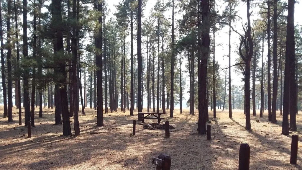 Benny Creek Group AreaCampingPhoto: Recreation.gov (RIDB) / public domain1.1 mi
- Meadow LarkMountain biking1.5 mi
Source: Roamze catalog (indexable pages within 10 miles, PostGIS distance)
 PinyonHiking · Next doorPhoto: WaterArchives.org from Sacramento, California, USA, CC BY-SA 2.0 (via Wikimedia Commons)
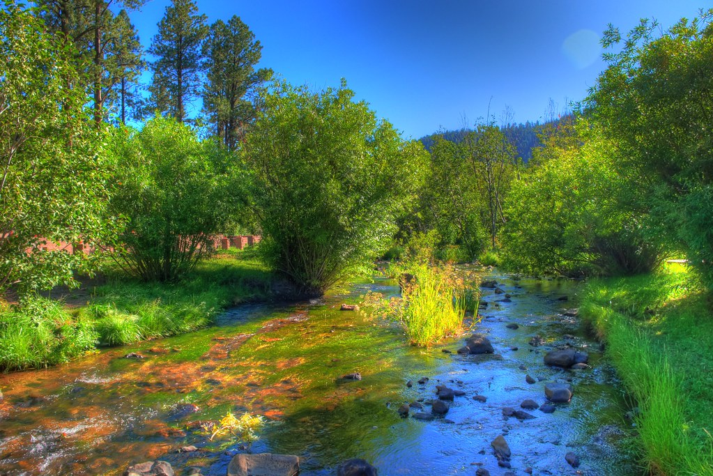 East ForkHiking · ~5 min drivePhoto: neepster, CC BY-SA 2.0 (via Flickr)
 Lee Valley Reservoir TrailHiking · ~12 min drivePhoto: Greggens, CC BY-SA 4.0 (via Wikimedia Commons)
 Apache VistaHiking · ~12 min drivePhoto: Clay Gilliland, CC BY-SA 2.0 (via Flickr)
 Mt Baldy CrossoverHiking · ~11 min drivePhoto: Clay Gilliland, CC BY-SA 2.0 (via Flickr)
- Overland ConnectorHiking · ~13 min drivePhoto: Clay Gilliland, CC BY-SA 2.0 (via Flickr)
- East BaldyHiking · ~14 min drivePhoto: Greggens, CC BY-SA 4.0 (via Wikimedia Commons)
- West BaldyHiking · ~11 min drivePhoto: Clay Gilliland, CC BY-SA 2.0 (via Flickr)
 Big Lake NatureHiking · ~20 min drivePhoto: USDAgov, Public Domain Mark (via Flickr)
- AspenHiking · ~4 min drive
Best time to visit Ponderosa
Best months: May–June and September. Best months have typical highs of 55–85 °F, lows of 30 °F or warmer (32 °F where the station doesn't record snow), at most one snowy day and no more than 12 wet days.
Jan
43° / 14°
5 wet
Feb
45° / 16°
5 wet
Mar
50° / 22°
5 wet
Apr
57° / 26°
3 wet
May
66° / 33°
4 wet
Jun
76° / 41°
5 wet
Jul
76° / 47°
14 wet
Aug
73° / 46°
16 wet
Sep
70° / 41°
8 wet
Oct
61° / 30°
5 wet
Nov
51° / 21°
4 wet
Dec
43° / 14°
5 wet
Typical high / low (°F) and days with rain or snow, 1991–2020. Measured at Greer, AZ, 1.4 mi away at 8,275 ft. We don't have this place's elevation, so higher spots nearby can run cooler. This station doesn't record snowfall. Source: NOAA NCEI U.S. Climate Normals 1991–2020.
