

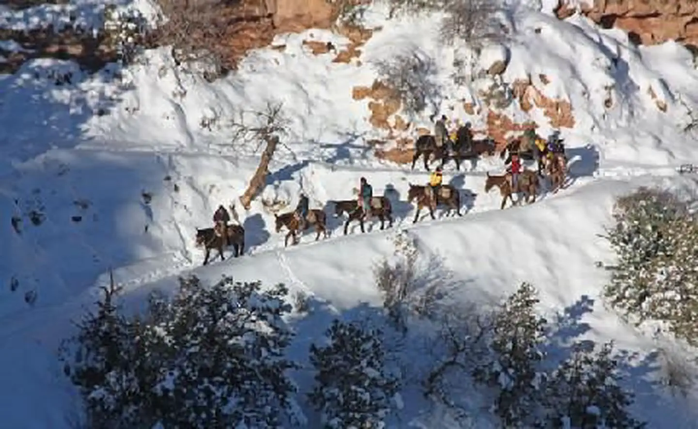
Buck Wild Hummer Tours
Hiking business nearby (~11 mi away) — hasn't claimed their Roamze page yet
Free — you'll pick up right here.
Watch this trail
Sign up to watch it — saving subscribes you to gate, closure and report changes.
Arizona
57.9 mi
Distance
3,911 ft
Gain
21h 15m
Time
Weather is good
1 factor · 1 source
Observed 1 h ago
clear: Weather
Clouds, high 86°F / low 80°F, 0% precip — 90/100 for hike
OpenWeather1 h ago
Been out here in the last few days? One report keeps this current for everyone.
Why you'll love it
West Tonto
AI-suggested draft · review before you go
No permit or access details on file for this trail — check with the local land manager before you go.
West Tonto is an ambitious point-to-point trail spanning nearly 58 miles through Arizona's rugged Tonto Plateau country. This extended backcountry route traverses remote high desert terrain with significant elevation changes, offering solitude and expansive views across the Tonto Basin. Hikers should expect a multi-day expedition with limited water sources and minimal trail infrastructure.
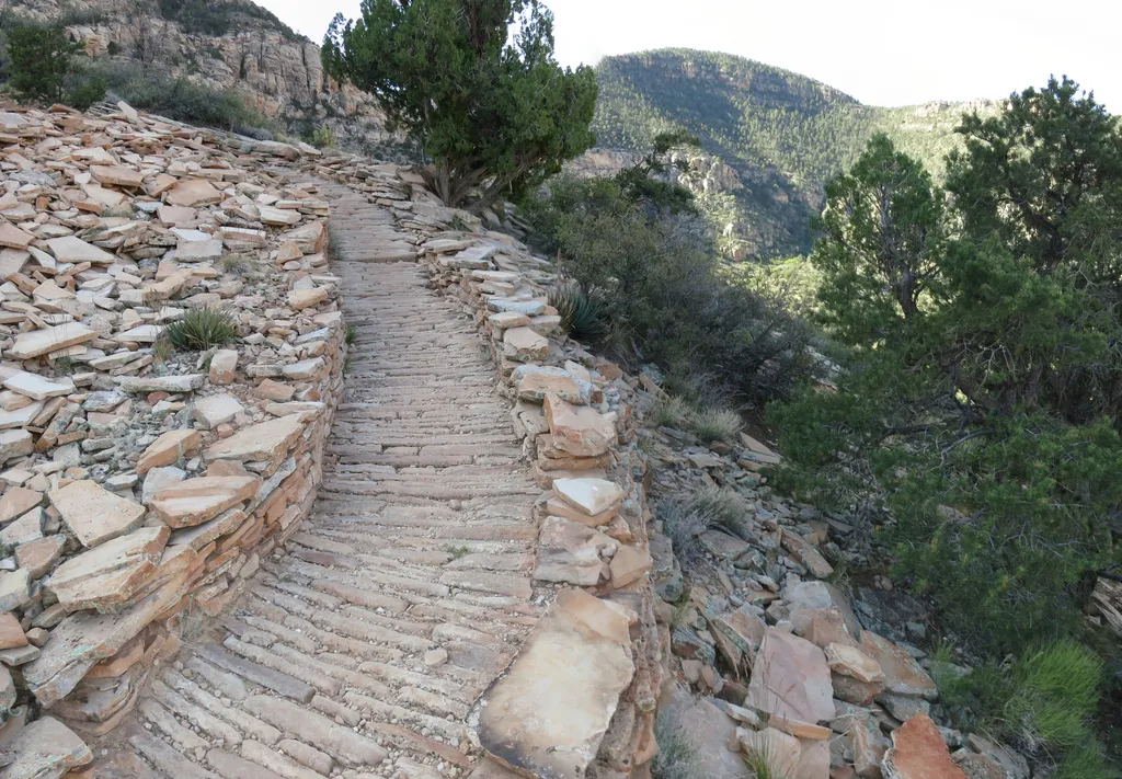
Hermit Trail Grand Canyon
~6 min drive
Louis D. Boucher, the "hermit" of Hermit Creek basin, lived in this area for 20 years. Boucher built the Boucher Trail (west of the Hermit Trail) and seasonal residences at Dripping Springs and near Boucher Creek. Though socially active in the South Rim community, residents la…
Hermit Trail
~4 min drive
A 17.18-mile out-and-back trail in Arizona for hikers seeking an extended adventure.
Monument Creek Trail
~5 min drive
2.6 mi · Easy
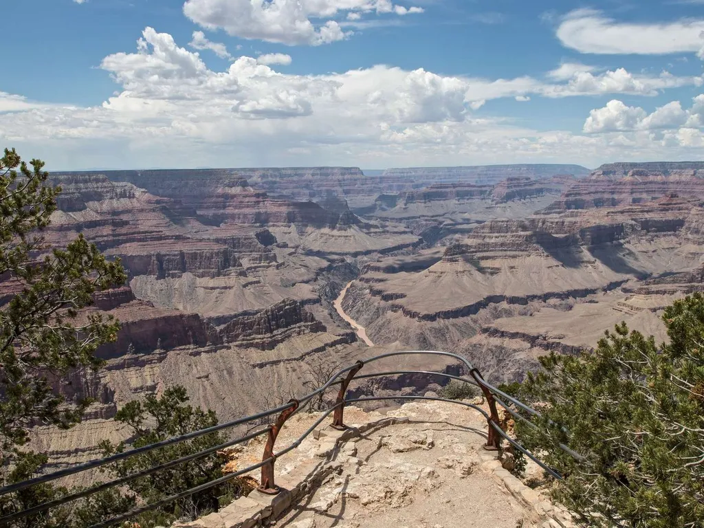
Mohave Point
~8 min drive
Another spectacular point for watching sunset, Mohave Point offers excellent views of the Colorado River deep in the canyon below. From here you can also see the Salt Creek, Granite, and Hermit rapids. Below this viewpoint, 'The Alligator' named by Emery Kolb points across th…
Boucher Trail
~5 min drive
15 mi · Hard
Dripping Springs Trail
~6 min drive
4.7 mi · Easy
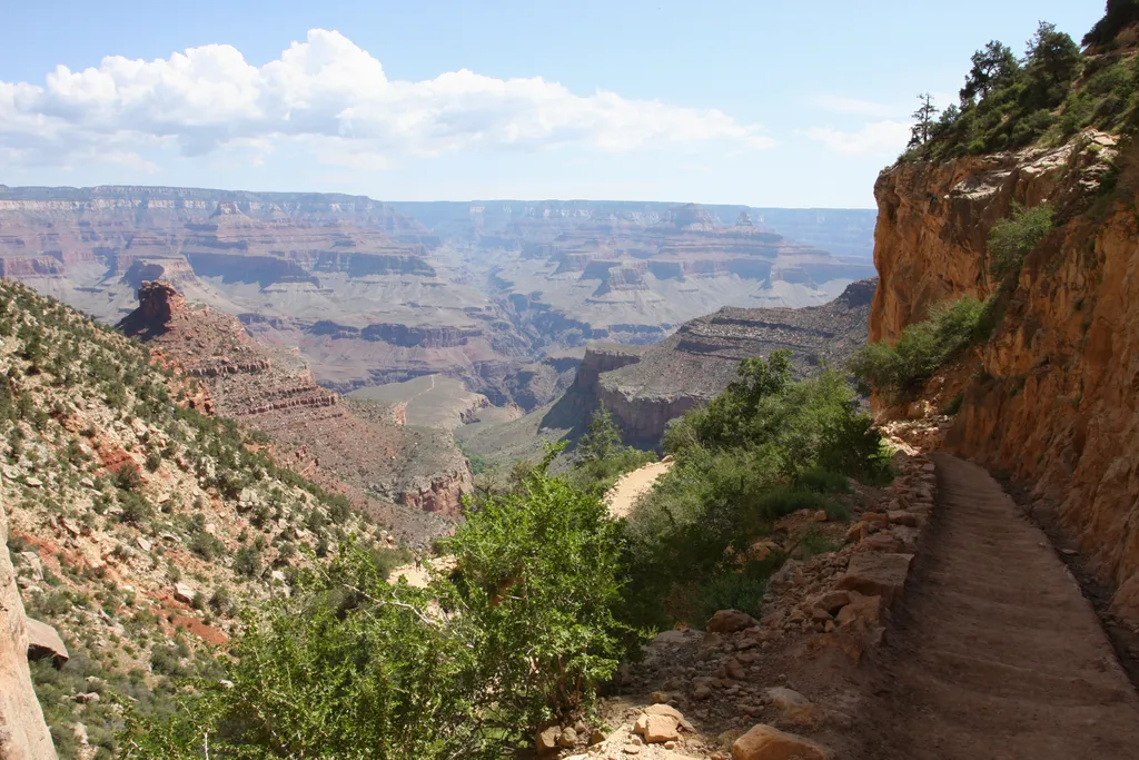
Bright Angel Trail
~11 min drive
The most popular hiking trail into Grand Canyon, the Bright Angel Trail lets hikers walk in the footsteps of the canyon's Indigenous peoples, miners, and early tourists, as they descend into the canyon's depths. Offering outstanding views, morning and afternoon shade, resthous…
Bright Angel Trail
~11 min drive
16 mi · Hard
Waldron Trail
~8 min drive
3.7 mi · Easy
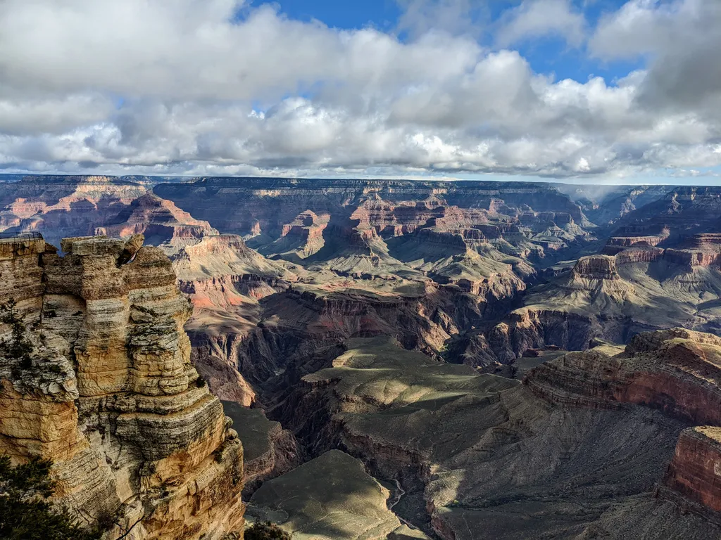
Rim Trail - Mather Point
~13 min drive
The Rim Trail is a mostly paved path that stretches roughly 13 miles (21 km) along the southern rim of Grand Canyon from South Kaibab Trailhead in the east to Hermits Rest in the west. Most people won't hike the whole trail in one go, but walking short sections of the rim can…
Local operatorsoffering guided trips. You book directly with them — Roamze doesn’t take a cut.
Buck Wild Hummer Tours
Hiking business nearby (~11 mi away) — hasn't claimed their Roamze page yet
Wander Camp
Hiking business nearby (~26 mi away) — hasn't claimed their Roamze page yet