Free — you'll pick up right here.
Watch this trail
Sign up to watch it — saving subscribes you to gate, closure and report changes.
Arizona
Oracle Ridge Trail #1
1.8 mi
Distance
1,993 ft
Gain
1h 13m
Time
Conditions: Blocked
for hike, todayAn agency closure order is in effect for this area; weather is good
2 factors · 2 sources
Newest 4 h ago · oldest 4 h
problem: Agency alerts
15 active alerts in Santa Catalina Ranger District; most severe: Marshall Gulch Closure Order
USFSPosted Jul 30 · checked 4 h ago
clear: Weather
Clear, high 74°F / low 57°F, 0% precip — 100/100 for hike
OpenWeather4 h ago
Been out here in the last few days? One report keeps this current for everyone.
Why you'll love it
Here's your day, mapped
Oracle Ridge Trail #1
AI-suggested draft · review before you go
Meals
Gear for the day
Elevation & route
- Distance
- 1.8 mi
- Elevation gain
- 1,993 ft
- Elevation loss
- 1,993 ft
- Highest point
- 7,893 ft
- Lowest point
- 7,295 ft
Photos
Directions & GPX
Permits & access
No permit or access details on file for this trail — check with the local land manager before you go.
About this trail
Oracle Ridge Trail #1 is a 3.58-mile out-and-back trail in Arizona with 1,993 feet of elevation gain and a maximum elevation of 7,893 feet.
Add to a trip & share
Keep exploring — more trails worth the drive
 Photo: CWanamaker, CC BY 3.0 (via Wikimedia Commons)
Around the Mountain
~12 min drive
3.99-mile out-and-back trail in Arizona with 396 ft elevation gain.
 Photo: Katja Schulz from Washington, D. C., USA, CC BY 2.0 (via Wikimedia Commons)
Maverick Spring Trail #704
~12 min drive
0.76-mile out-and-back hike to Maverick Spring in Arizona with 242 ft gain.
Oracle Ridge Trail #1
~1 min drive
A 7.85-mile out-and-back dirt trail in Arizona ideal for hikers looking for a straightforward desert hiking experience.
Catalina Camp Trail #401
~2 min drive
A strenuous 1.68-mile out-and-back trail in Arizona connecting to Dan's Saddle and Red Ridge Trail, built for experienced hikers.
Red Ridge Trail #2
~2 min drive
A 2.85-mile out-and-back trail in Arizona.
Photo: Katja Schulz from Washington, D. C., USA, CC BY 2.0 (via Wikimedia Commons)Brush Corral Shortcut
~11 min drive
1.46-mile out-and-back trail in Arizona with 400 ft elevation gain.
Crystal Spring
~3 min drive
7.47-mile out-and-back trail to Crystal Spring in Arizona with 467 ft gain.
Aspen Draw
~4 min drive
Aspen Draw is a 3.86-mile out-and-back trail in Arizona with 1,095 ft of elevation gain.
East Ski Run Road
~3 min drive
A brief 0.69-mile out-and-back trail in Arizona that connects to the Aspen Draw Trail system.
Aspen
~6 min drive
7.87-mile out-and-back trail in Arizona with 1,610 ft elevation gain.
Also worth it near here
 Photo: Colton Marshall abstractstatemachine, CC0 (via Wikimedia Commons)
Loma Linda
~4 min drive
Photo: Colton Marshall abstractstatemachine, CC0 (via Wikimedia Commons)Aspen Draw
~4 min drive
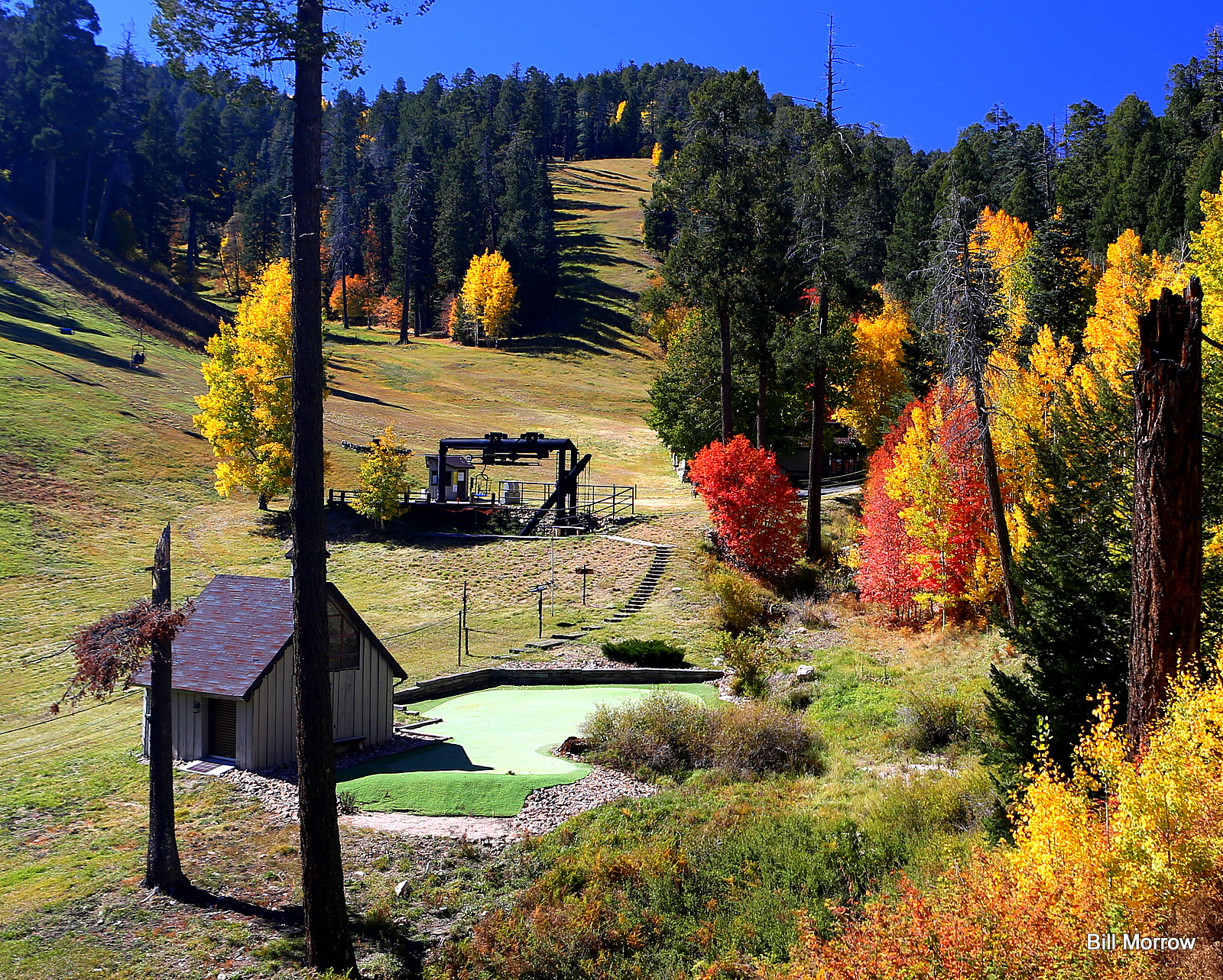 Photo: Bill Morrow, CC BY 2.0 (via Wikimedia Commons)
Mount Lemmon Ski Valley
~5 min drive
 Photo: Debby Kriegel, Public domain (via Wikimedia Commons)
Mount Lemmon
~5 min drive
Whitetail Campground
~7 min drive
Map and trail data © OpenStreetMap contributors
