Spencer Canyon
Campground
Campground · 3.0 mi from the trail
 Photo: cogdogblog, CC BY 2.0 (via Flickr)
Closure in the area
There's a closure order in Santa Catalina Ranger District. It doesn't name Lemmon Rock Lookout, so check the source for the area it covers.
Marshall Gulch Closure Order
Agency closure covering Santa Catalina Ranger District · Order 03-05-05-26-009 · USFS · Santa Catalina Ranger District
Border Barrier Construction Closure
Agency alert covering Coronado National Forest · Order 03-05-00-26-011 · USFS · Coronado National Forest
No Fire Restrictions
Agency alert covering Coronado National Forest · USFS · Coronado National Forest
Barfoot Snake Closure Order 03-05-01-24-004
Agency alert covering Coronado National Forest · USFS · Coronado National Forest
As of · Source: USFS · Santa Catalina Ranger District. Agencies don't list every closure — check before you go.
Lemmon Rock Lookout is a 3.6-mile out-and-back hike in Arizona's Pusch Ridge Wilderness, part of the Santa Catalina Ranger District of Coronado National Forest. The trail climbs from about 7,250 feet to the lookout's high point at 8,862 feet, a gain of 1,612 feet, and is rated moderate. The Forest Service manages the land, and the trail is natural-surfaced, not accessible, and allows horses but not bikes. The trailhead is at the Mt. Lemmon/Aspen parking area, and the route stays open year-round. The closest neighbors are the Wonderland climbing area, about 0.2 miles away, and the Wilderness of Rocks mountain biking area, about half a mile off. Rappel Rock and the Southeast Face climbing areas sit roughly 0.8 miles from the lookout.
Spencer Canyon
Campground
Iron Door Restaurant
Restaurant
Places © OpenStreetMap contributors
More in OracleCanada Del OroHikingPhoto: cogdogblog, CC BY 2.0 (via Flickr)1.1 mi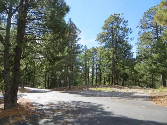 Whitetail CampgroundCampingPhoto: Recreation.gov (RIDB) / public domain3.5 mi
Source: Roamze catalog (indexable pages within 10 miles, PostGIS distance)
Canada Del OroHiking · ~2 min drivePhoto: cogdogblog, CC BY 2.0 (via Flickr) Marshall Gulch Trail #3Hiking · ~2 min drivePhoto: KimonBerlin, CC BY-SA 2.0 (via Flickr)
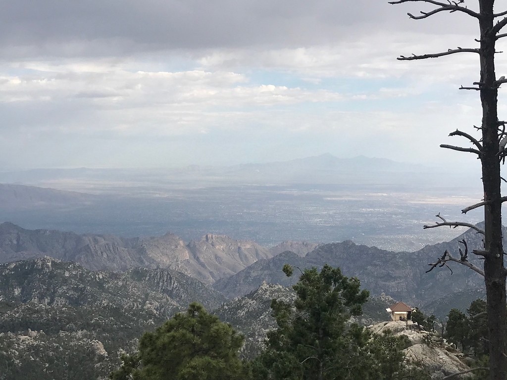 MeadowHiking · ~2 min drivePhoto: 666isMONEY ☮ ♥ & ☠, CC BY 2.0 (via Flickr)
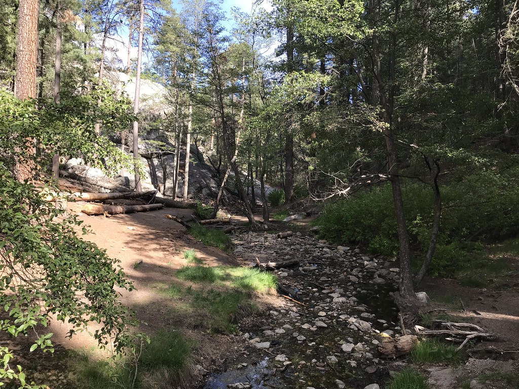 AspenHiking · ~4 min drivePhoto: 666isMONEY ☮ ♥ & ☠, CC BY 2.0 (via Flickr)
 Aspen DrawHiking · ~4 min drivePhoto: Joe Passe, CC BY-SA 2.0 (via Flickr)North Sabino Canyon ParkHiking · ~4 min drivePhoto: 666isMONEY ☮ ♥ & ☠, CC BY 2.0 (via Flickr)
 Box CampHiking · ~5 min drivePhoto: desertdutchman, CC BY 2.0 (via Flickr)Mint SpringsHiking · ~2 min drivePhoto: KimonBerlin, CC BY-SA 2.0 (via Flickr)
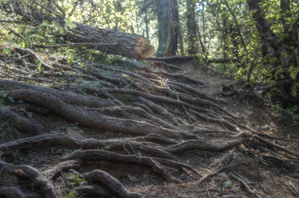 Box Spring Trail #22AHiking · ~4 min drivePhoto: dennyforreal, CC BY 2.0 (via Flickr)
Also worth it near here
 Wilderness of RocksRock climbing · ~1 min drivePhoto: KimonBerlin, CC BY-SA 2.0 (via Flickr)
 Meadow Trail #5AMountain biking · ~2 min drivePhoto: Jacob Kannel jrkannel, CC0 (via Wikimedia Commons)
 Mount LemmonSummit · ~3 min drivePhoto: Debby Kriegel, Public domain (via Wikimedia Commons)
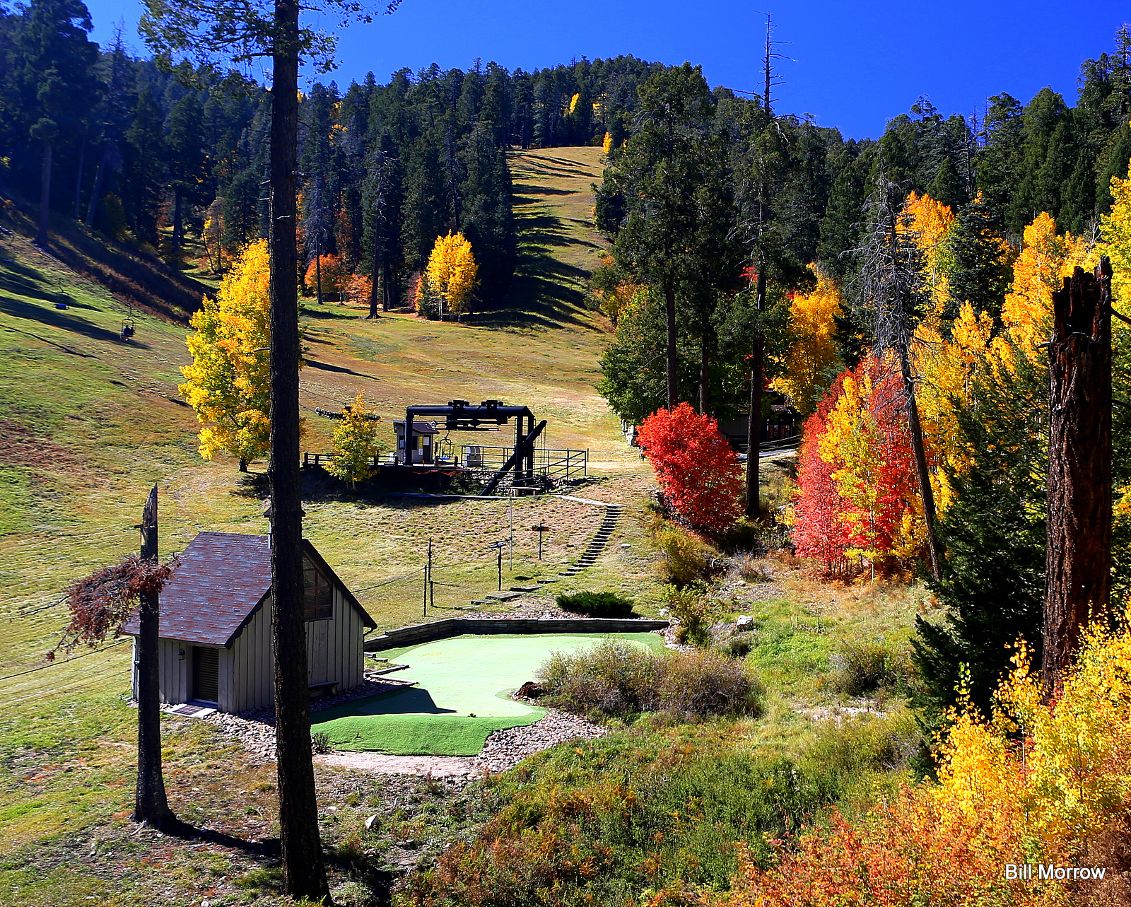 Mount Lemmon Ski ValleyDownhill skiing · ~3 min drivePhoto: Bill Morrow, CC BY 2.0 (via Wikimedia Commons)
