Goldfield Camp
Campground
Campground · 1.0 mi from the trail
 Photo: Dougtone, CC BY-SA 2.0 (via Wikimedia Commons)
Quail Loop Trail is an easy hike of about 0.68 miles in Arizona, roughly 0.6 miles from the town of Youngberg. It is a short outing with almost no elevation change: the trail rises about 54 feet from the start at around 2,090 feet to a high point of about 2,109 feet, then dips slightly to about 2,059 feet, so a round trip covers a total gain and loss of about 72 feet. The climb is gentle, with the steepest stretch at about 0.14 miles in, where the grade reaches about 4%. The most comfortable months for a visit are winter and early spring. Typical averages from a nearby weather station show January highs around 67°F and lows near 43°F, while May and June average highs in the low 90s and 100s. Winter and early spring also bring the fewest wet days, about four a month from January through March. The hike takes about half an hour to complete. Treasure Loop, another hike, is about 0.3 miles away, and Massacre Falls Trail and the Mountain Bike Trail are each about 0.7 miles away. Northwest Pinnacles, a climbing area, is about 1.3 miles off.
Goldfield Camp
Campground
Glass Blowers
Gallery
Places © OpenStreetMap contributors, Places © Overture Maps Foundation
More in SuperiorNot on Roamze yet. Their page has how to reach them.
 Treasure LoopHikingPhoto: Dougtone, CC BY-SA 2.0 (via Wikimedia Commons)0.3 miMassacre Falls TrailHikingPhoto: Dougtone, CC BY-SA 2.0 (via Wikimedia Commons)0.7 mi
 Northwest PinnaclesRock climbingPhoto: Sean Foster, CC BY 3.0 (via Wikimedia Commons)1.3 mi
 Suction GullyRock climbingPhoto: The3dStudioDotCom, CC BY-SA 3.0 (via Wikimedia Commons)1.3 mi
Source: Roamze catalog (indexable pages within 10 miles, PostGIS distance)
Treasure LoopHiking · Next doorPhoto: Dougtone, CC BY-SA 2.0 (via Wikimedia Commons)Massacre Falls TrailHiking · ~1 min drivePhoto: Dougtone, CC BY-SA 2.0 (via Wikimedia Commons)Jacobs CrosscutHiking · ~1 min drivePhoto: Dougtone, CC BY-SA 2.0 (via Wikimedia Commons) Superstition Ridgeline TrailHiking · ~4 min drivePhoto: The3dStudioDotCom, CC BY-SA 3.0 (via Wikimedia Commons)Siphon Draw Trail #53Hiking · ~4 min drivePhoto: The3dStudioDotCom, CC BY-SA 3.0 (via Wikimedia Commons)
 Second Water TrailHiking · ~4 min drivePhoto: deborah.soltesz, Public Domain Dedication (CC0) (via Flickr)
 Siphon Draw TrailHiking · ~2 min drivePhoto: The3dStudioDotCom, CC BY-SA 3.0 (via Wikimedia Commons)Monument Canyon TrailHiking · ~6 min drivePhoto: The3dStudioDotCom, CC BY-SA 3.0 (via Wikimedia Commons)
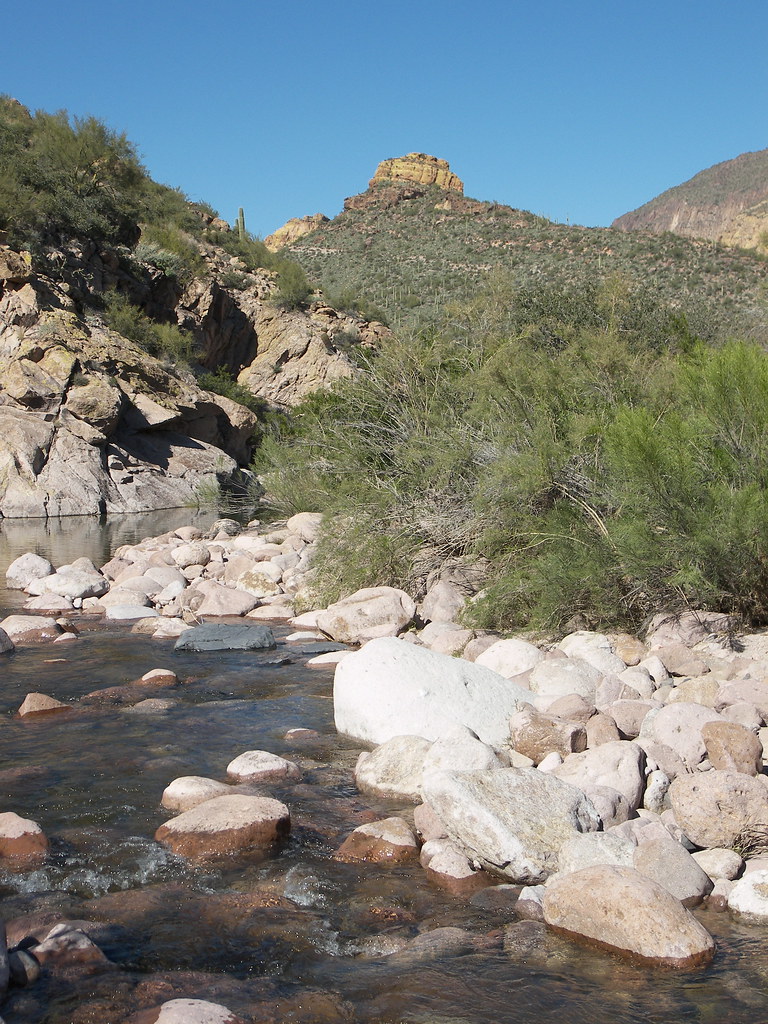 Battleship Mountain scrambleHiking · ~9 min drivePhoto: deborah.soltesz, Public Domain Dedication (CC0) (via Flickr)
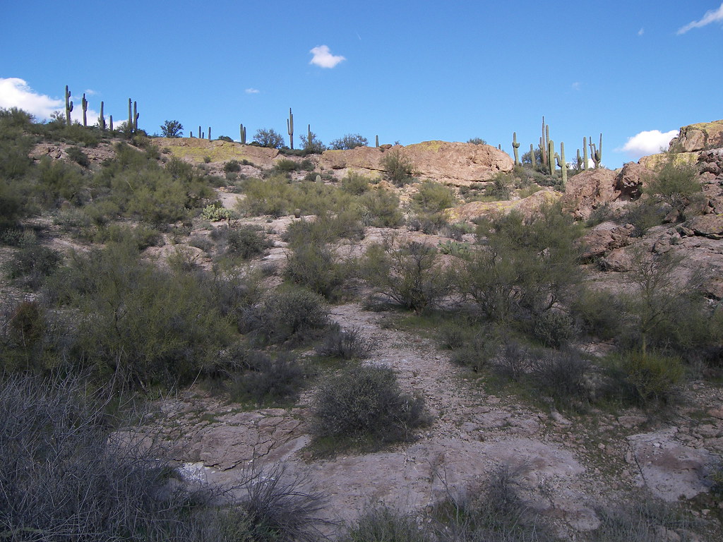 Grand Enchantment TrailHiking · ~4 min drivePhoto: deborah.soltesz, Public Domain Dedication (CC0) (via Flickr)
Best months: November–April. Best months have typical highs of 55–85 °F, lows of 30 °F or warmer (32 °F where the station doesn't record snow), at most one snowy day and no more than 12 wet days.
Jan
67° / 43°
4 wet
Feb
70° / 44°
4 wet
Mar
77° / 48°
4 wet
Apr
85° / 53°
2 wet
May
93° / 60°
2 wet
Jun
103° / 69°
1 wet
Jul
105° / 77°
4 wet
Aug
104° / 76°
6 wet
Sep
99° / 71°
4 wet
Oct
88° / 60°
3 wet
Nov
76° / 50°
3 wet
Dec
66° / 42°
4 wet
Typical high / low (°F) and days with rain or snow, 1991–2020. Measured at Apache Junction 5 Ne, AZ, 0.2 mi away at 2,070 ft. Source: NOAA NCEI U.S. Climate Normals 1991–2020.
Map and trail data © OpenStreetMap contributors
