Gold Ridge
- 11.0 mi
- round trip
- 5,962 ft
- climb
- 6,096 ft
- high point
- Out and back
- route
- Mar–May, Oct
- best months
Is Gold Ridge open right now?
Closure in the area
There's a closure order in Tonto National Forest. It doesn't name Gold Ridge, so check the source for the area it covers.
Rattlesnake Recreation Site Public Safety Closure
Agency closure covering Tonto National Forest · Order 3-12-01-26-36 · USFS · Tonto National Forest
Canyon Lake Drawdown Public Safety Closure
Agency alert covering Tonto National Forest · Order 03-12-00-26-22 · USFS · Tonto National Forest
No Fire Restrictions
Agency alert covering Tonto National Forest · USFS · Tonto National Forest
Davis Wash Closure Extension
Agency alert covering Tonto Basin Ranger District · Order 03-12-06-24-10 · USFS · Tonto Basin Ranger District
Roosevelt Lake Seasonal Wildlife Closure
Agency alert covering Tonto National Forest · Order 12-16-5 · USFS · Tonto National Forest
As of · Source: USFS · Tonto National Forest. Agencies don't list every closure — check before you go.
Gold Ridge is a hard hike in the Tonto Basin Ranger District of Arizona's Tonto National Forest, managed by the Forest Service. The route is an out-and-back of about 11 miles, with a total elevation gain of nearly 6,000 feet. The trail starts at about 6,070 feet and climbs to a high point of 6,096 feet, then descends back to the starting elevation. The steepest stretch comes at about 3.5 miles in, where the grade reaches 38 percent. Spring and fall are the most comfortable times to go. Typical averages from a nearby weather station in Payson show October highs around 76°F with lows near 41°F, and April highs around 72°F. That station sits roughly 1,200 feet lower than the trail's high point, so temperatures on the ridge run cooler. The Deer Creek Trailhead is the parking for this hike, and the route is open year-round. Plan for about 6.5 hours on the trail. Davey Gowan is about half a mile away, and Deer Creek and Fisher are both within about 3.5 miles.
Local outfitters
- Arizona Desert Mountain Jeep Tours23 mi away
- Black Canyon Campground40 mi away
Not on Roamze yet. Their page has how to reach them.
Best time to go · Mar–May, Oct
Best time to visit Gold Ridge
Best months: March–May and October. Best months have typical highs of 55–85 °F, lows of 30 °F or warmer (32 °F where the station doesn't record snow), at most one snowy day and no more than 12 wet days.
Jan
56° / 26°
5 wet
Feb
58° / 28°
5 wet
Mar
65° / 32°
5 wet
Apr
72° / 36°
3 wet
May
80° / 43°
2 wet
Jun
90° / 51°
2 wet
Jul
93° / 60°
8 wet
Aug
91° / 59°
11 wet
Sep
86° / 52°
6 wet
Oct
76° / 41°
4 wet
Nov
64° / 31°
4 wet
Dec
55° / 26°
5 wet
Typical high / low (°F) and days with rain or snow, 1991–2020. Measured at Payson, AZ, 16.8 mi away at 4,850 ft. The station sits about 1,200 ft lower than this place, so expect it a little cooler here. This station doesn't record snowfall. Source: NOAA NCEI U.S. Climate Normals 1991–2020.
Keep exploring — more trails worth the drive
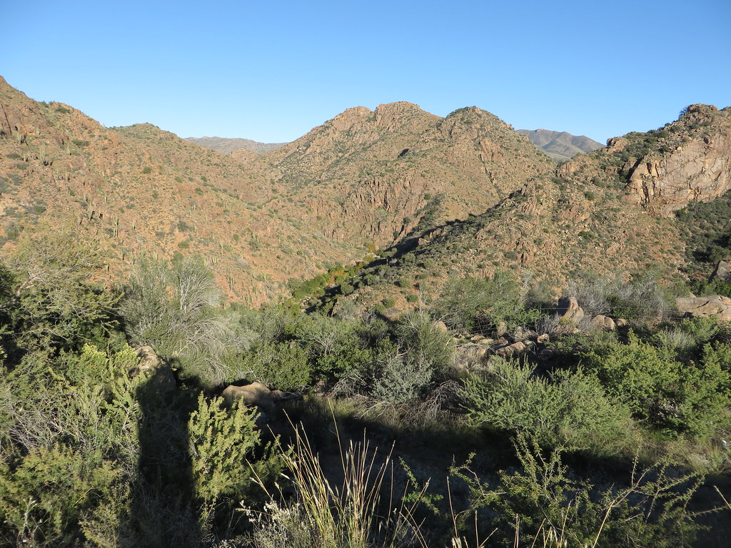 Photo: Ken Lund, CC BY-SA 2.0 (via Flickr)
Diamond
~18 min drive
Diamond is a 4.22-mile out-and-back trail in Arizona with 749 ft of elevation gain.
 Photo: Tanque Verde, CC BY 2.0 (via Flickr)
Fig Spring
~24 min drive
7.13-mile out-and-back trail to Fig Spring in Arizona with 336 ft of elevation gain.
 Photo: Ken Lund from Reno, Nevada, USA, CC BY-SA 2.0 (via Wikimedia Commons)
Jojoba
~27 min drive
Jojoba is a 2.40-mile out-and-back trail in Arizona with 73 ft of elevation gain.
HIKE
Rock Creek
~15 min drive
8.21-mile out-and-back trail in Arizona with 2,643 ft elevation gain.
Photo: Ken Lund from Reno, Nevada, USA, CC BY-SA 2.0 (via Wikimedia Commons)Palo Verde
~26 min drive
4.27-mile out-and-back trail in Arizona with 265 ft of elevation gain.
 Photo: cogdogblog, CC BY 2.0 (via Flickr)
Ballantine
~27 min drive
19.94-mile out-and-back trail in Arizona with 2,762 ft elevation gain.
HIKE
Saddle Mountain Trail #91
~8 min drive
2.28-mile out-and-back hike with 919 ft gain in Arizona
HIKE
Arizona Trail
~23 min drive
A 59.49-mile out-and-back trail in Arizona that connects to Passage 42 and the broader trail system.
HIKE
Shake Tree Trail # 44
~7 min drive
Shake Tree Trail #44 is an 11.63-mile out-and-back trail in Arizona with 322 feet of elevation gain.
HIKE
Davey Gowan
~1 min drive
3.66-mile out-and-back trail in Arizona with 477 ft gain and 1,838 ft loss.

