Arizona Trail
- 59.5 mi
- round trip
- 11,348 ft
- climb
- 7,144 ft
- high point
- Out and back
- route
Caution at last check
Agency alerts are in effect for this area; weather is good · USFS, OpenWeather · checked 16 h ago
Is Arizona Trail open right now?
Alert in the area
The Forest Service lists 5 alerts for Tonto National Forest.
Rattlesnake Cove Developed Recreation Site - Post Flood Recovery and Public Safety Closure
Agency alert covering Tonto National Forest · Order 3-12-01-26-36 · USFS · Tonto National Forest
Canyon Lake Drawdown Public Safety Closure
Agency alert covering Tonto National Forest · Order 03-12-00-26-22 · USFS · Tonto National Forest
No Fire Restrictions
Agency alert covering Tonto National Forest · USFS · Tonto National Forest
Davis Wash Closure Extension
Agency alert covering Tonto Basin Ranger District · Order 03-12-06-24-10 · USFS · Tonto Basin Ranger District
Roosevelt Lake Seasonal Wildlife Closure
Agency alert covering Tonto National Forest · Order 12-16-5 · USFS · Tonto National Forest
As of · Source: USFS · Tonto National Forest. Agencies don't list every closure — check before you go.
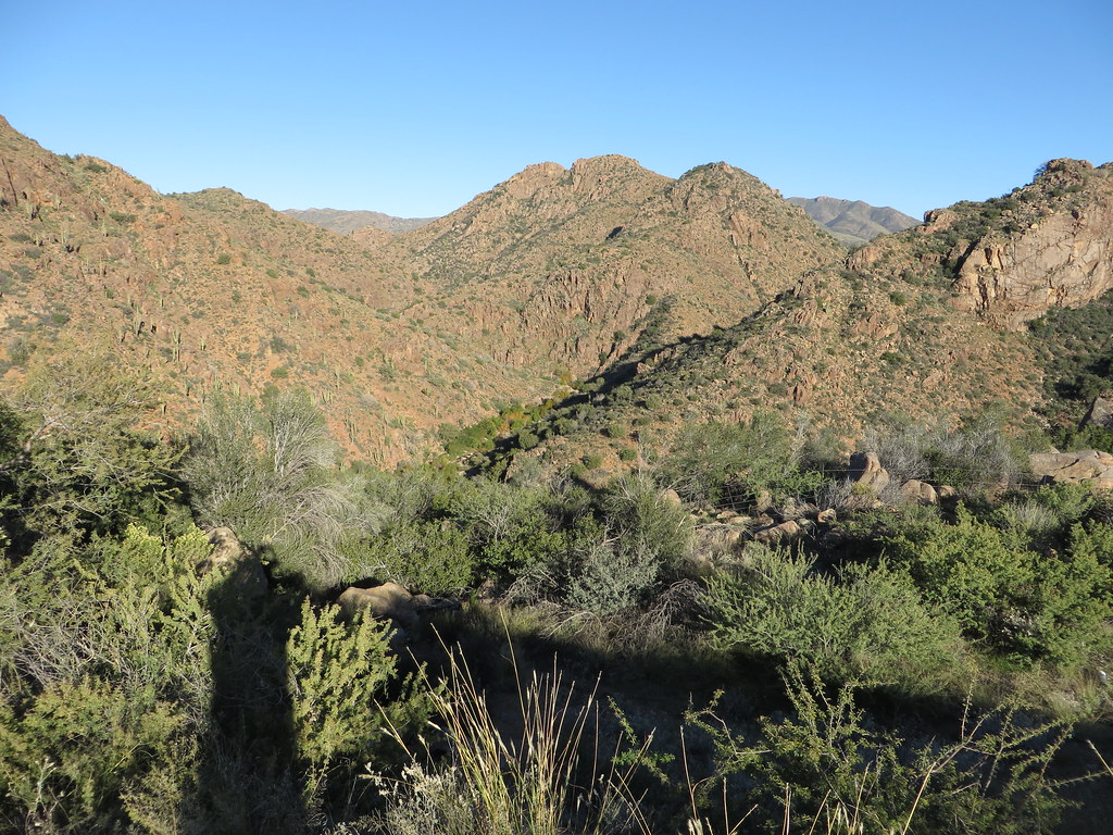
The Arizona Trail is a 59.5-mile hike in Arizona's Tonto National Forest, within the Tonto Basin Ranger District. It is an expert-level route, with a total elevation gain of 11,348 feet over the course of an out-and-back trip that reaches a high point of 7,144 feet. The route begins at a low of 3,343 feet and climbs to nearly 7,100 feet, which makes it a long, steep outing rather than a short day on the trail. The trail is managed by the Forest Service, and its full length is best approached as a multi-day journey. The closest neighbors are Edward's Park, about a tenth of a mile away, and the Sycamore hike, under a mile off. Boulder Mountain, a climbing area, sits about 3.6 miles away, and Indian Point Campground is about 9 miles out for anyone planning to spend the night.
Local outfitters
- Arizona Desert Mountain Jeep Tours20 mi away
- VIP RV Resort30 mi away
Not on Roamze yet. Their page has how to reach them.
- Edward's ParkHiking0.1 mi
- SycamoreHiking0.7 mi
 Boulder MountainRock climbingPhoto: Alan Levine from Mortlach, Canada, CC BY 2.0 (via Wikimedia Commons)3.6 mi
- DentonHiking3.8 mi
- ParkHiking4.3 mi
- El Oso RodeoRock climbingPhoto: Alan Levine from Mortlach, Canada, CC BY 2.0 (via Wikimedia Commons)4.7 mi
 Sycamore WallRock climbingPhoto: Ken Lund, CC BY-SA 2.0 (via Flickr)5 mi
- Indian Point CampgroundCamping9.1 mi
Source: Roamze catalog (indexable pages within 10 miles, PostGIS distance)
 DiamondHiking · ~10 min drivePhoto: Ken Lund, CC BY-SA 2.0 (via Flickr)
 Four Peaks-El OsoHiking · ~11 min drivePhoto: Chris English, CC BY-SA 3.0 (via Wikimedia Commons)
 Arizona TrailHiking · ~28 min drivePhoto: This illustration was made by Peter Potrowl.
Please credit this with : © Peter Potrowl in the immediate vicinity of the image. A link to my website sitemai.eu would be much appreciated but isn't mandatory.
An email to
Peter Potrowl would be appreciated too.
Do not copy this image illegally by ignoring the terms of the license below, as it is not in the public domain.
If you would like special permission to use, license, or purchase the image please contact me Peter Potrowl to negotiate terms.
More free pictures in my website. Donations are accepted here and here., CC BY-SA 3.0 (via Wikimedia Commons)
 BallantineHiking · ~11 min drivePhoto: cogdogblog, CC BY 2.0 (via Flickr)
 Palo VerdeHiking · ~25 min drivePhoto: Ken Lund from Reno, Nevada, USA, CC BY-SA 2.0 (via Wikimedia Commons)
 Pigeon Spring RoadHiking · ~12 min drivePhoto: Chris English, CC BY-SA 3.0 (via Wikimedia Commons)
- Arizona TrailHiking · ~13 min drivePhoto: Chris English, CC BY-SA 3.0 (via Wikimedia Commons)
- ParkHiking · ~7 min drive
- BrownsHiking · ~14 min drivePhoto: Chris English, CC BY-SA 3.0 (via Wikimedia Commons)
- JojobaHiking · ~25 min drivePhoto: Ken Lund from Reno, Nevada, USA, CC BY-SA 2.0 (via Wikimedia Commons)
Map and trail data © OpenStreetMap contributors
